Molar Pass Loop: Crush Every Bush
September 4 - 6, 2021
Very few hikers have attempted the Molar Pass Loop compared to its popular neighbor Skoki Loop to the south. Due to the numerous river crossings, bushwhacking, a grueling 51.5km length and elevation change over the North Molar Pass (750m gain) and South Molar Pass (550m gain) over 3 days and 2 nights, we didn’t feel comfortable bringing any friends this time. Topping it off by starting at Mosquito Creek which circles around Noseeum Mountain… yeah it’s a pretty hard sell.
Day 1: Trailhead to Fish Lakes (15.0km)

Map from AllTrails
Day 1: Trailhead to Fish Lakes (15.0km)
Mosquito Creek might ring a bell for those who frequently drive the Icefields Parkway. There is a first-come-first-serve frontcountry campground that serves as a fantastic base for exploring the Lake Louise and Bow Lake areas.
We parked next to the HI Mosquito Creek Wilderness Hostel and traversed along the namesake creek for 7 extremely boring kilometers to the junction of Molar Pass loop. At least all the mosquitos had already died.
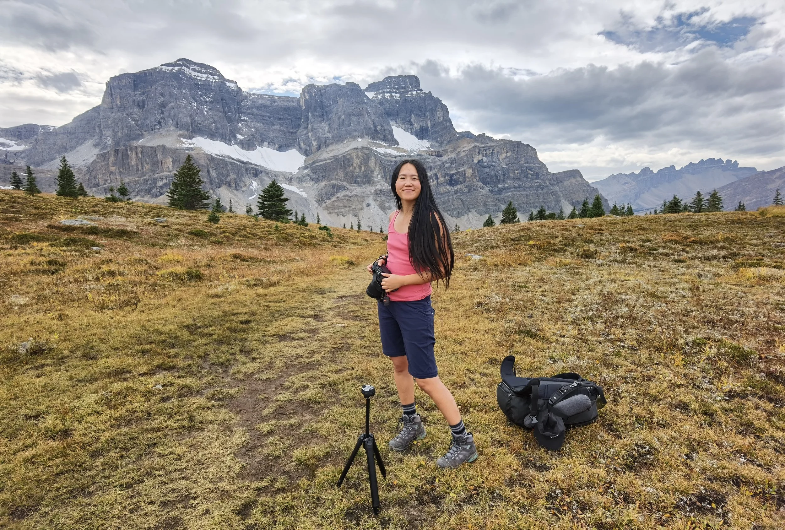
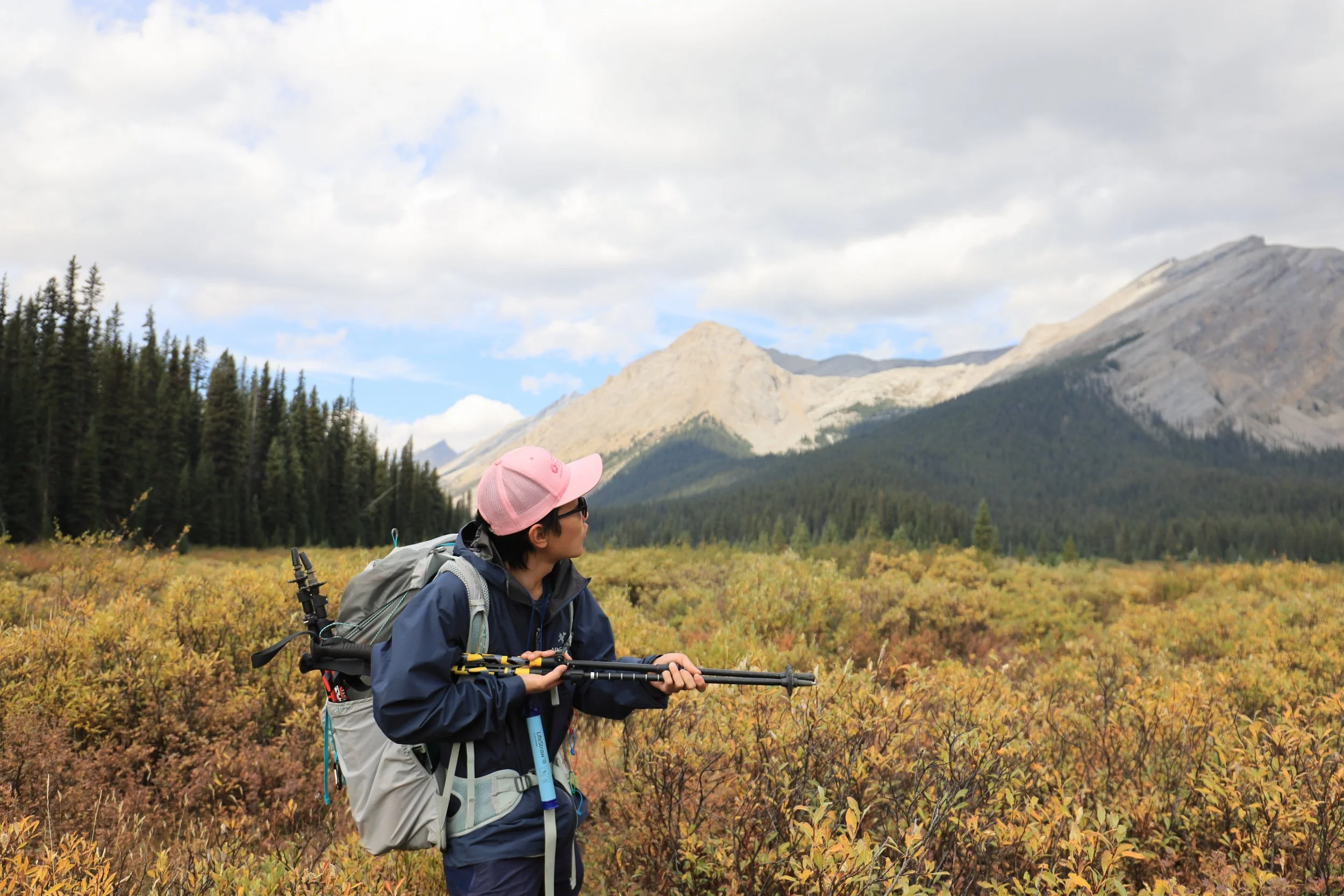
A few days ago I splurged on an all-too-expensive Peak Design tripod for my birthday. A big selling point for me was its extendable legs that can be removed and replaced with “ultralight feet”. I figured we might not get many photos together without the constant companionship of friends on a scarcely used trail so this would be the perfect time to test it out.

Positioning ourselves turned out to be extremely tricky with the camera at nearly ground level. While the center column can be raised by an extra 20cm, in practice this was too precarious to balance with a heavy and long lens.

After dawdling around with the tripod for way too long, we realized we actually needed to get moving in order to make it to camp before dark. Unfortunately this was also when the sun decided to peek around the clouds so more photos were necessary.
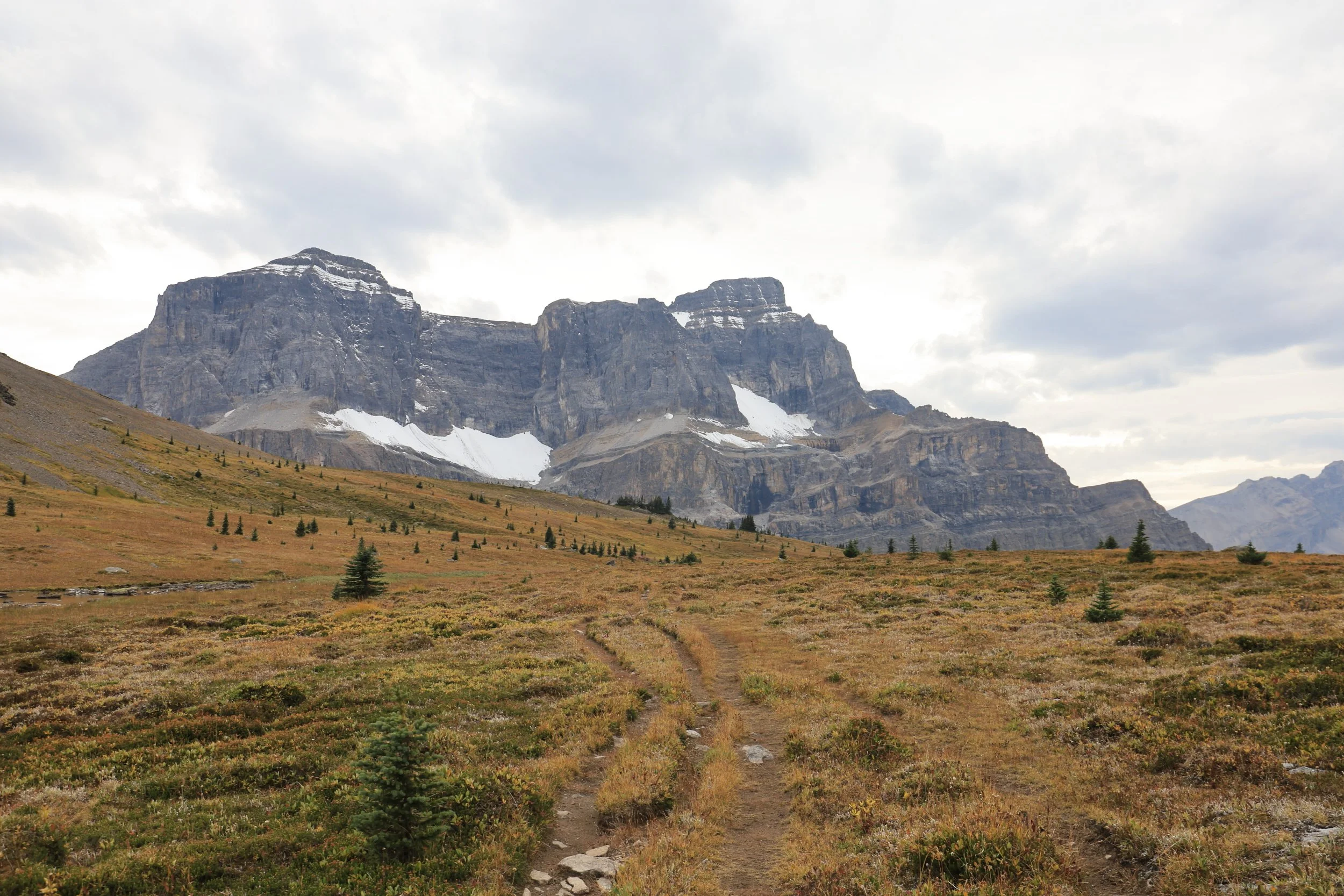
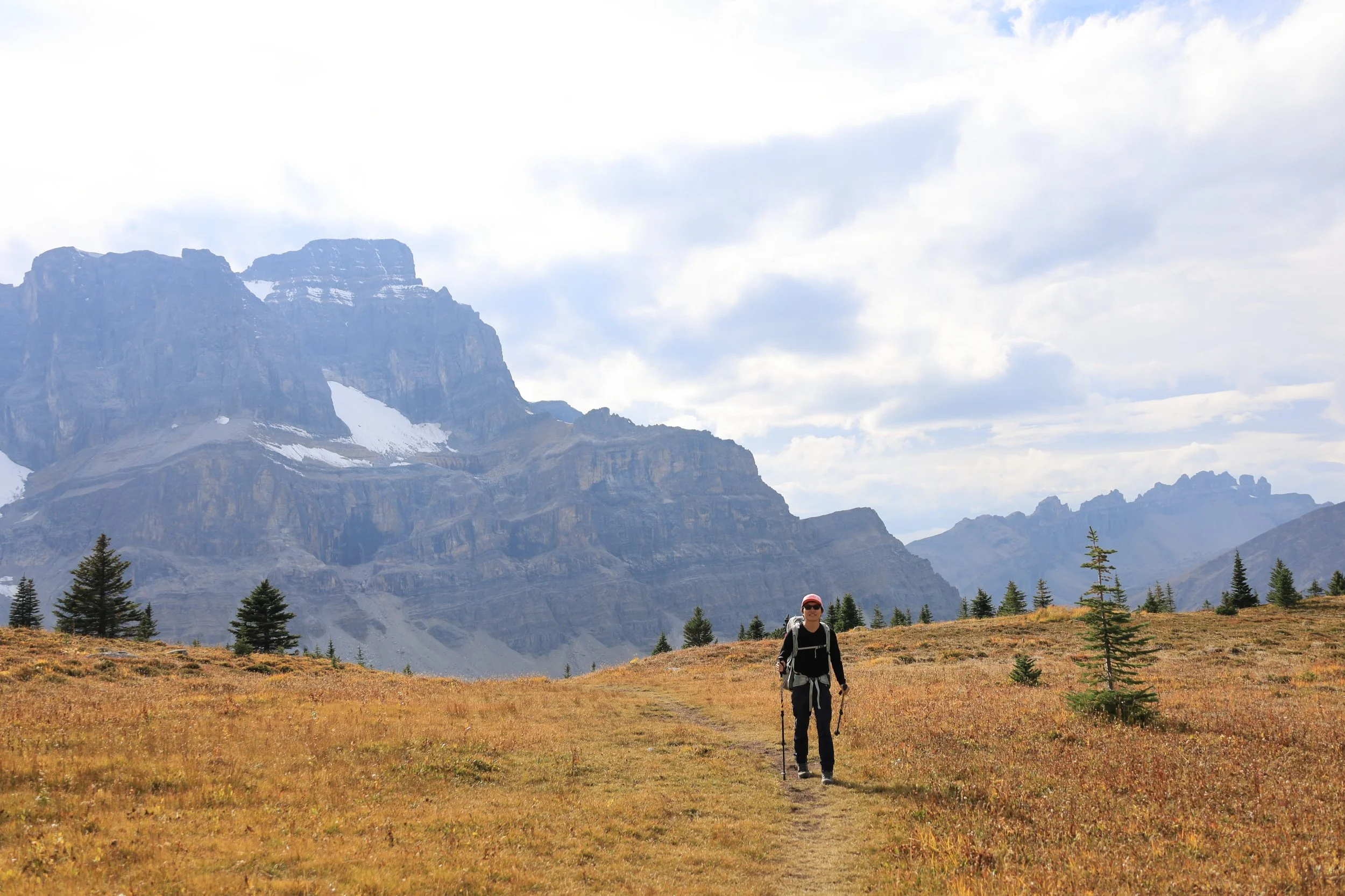
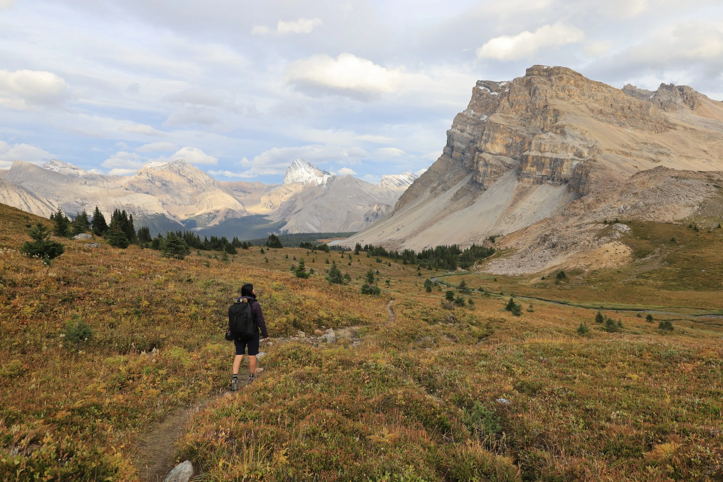
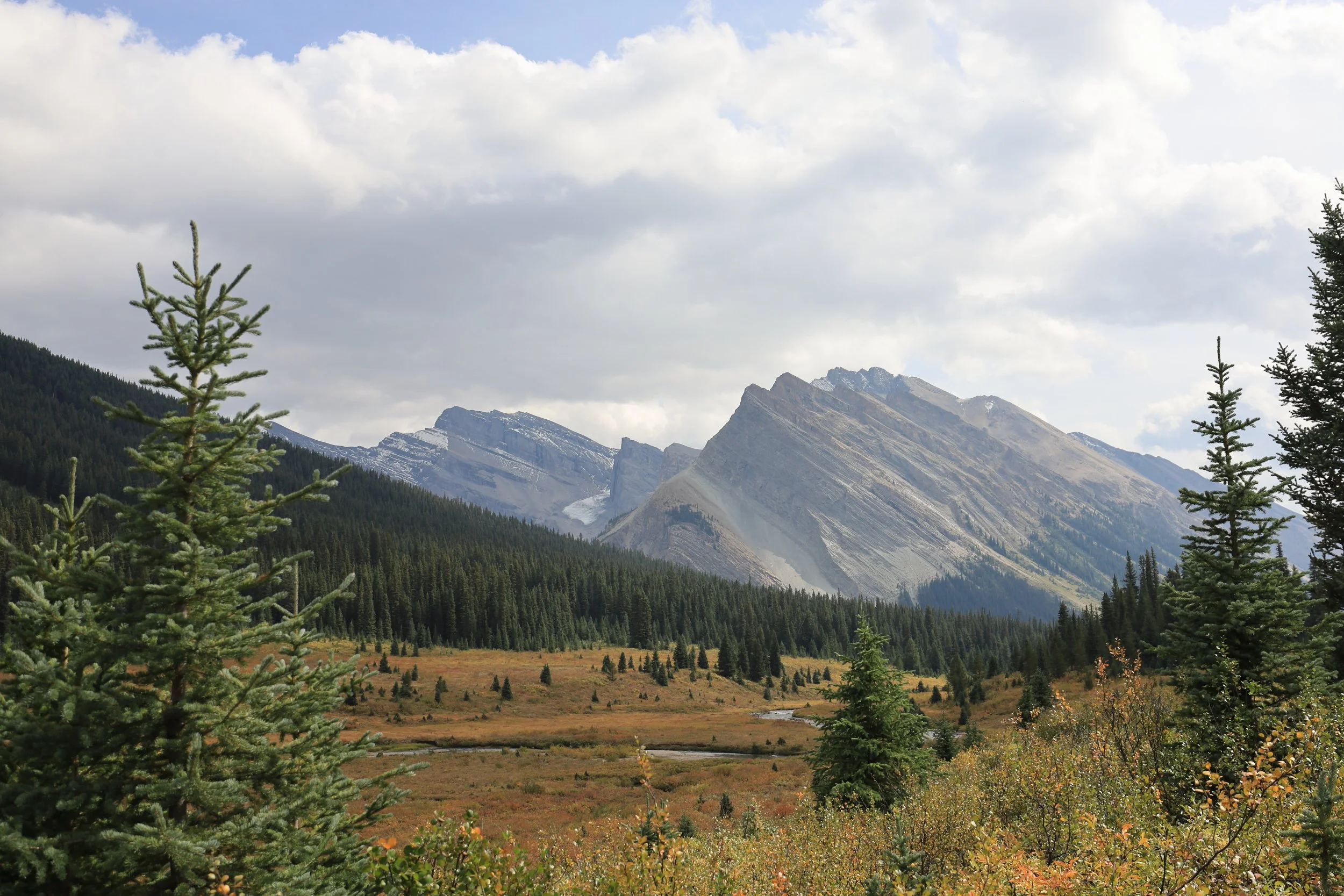
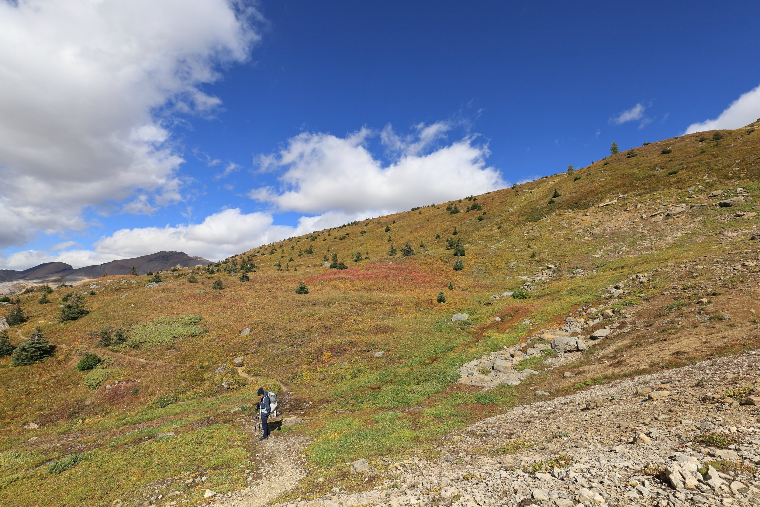
North Molar Pass was roughly visible for nearly the entire stretch of alpine meadow, but it never seemed to get any closer. The incline remained gradual with gentle rolling hills etched into the valley.
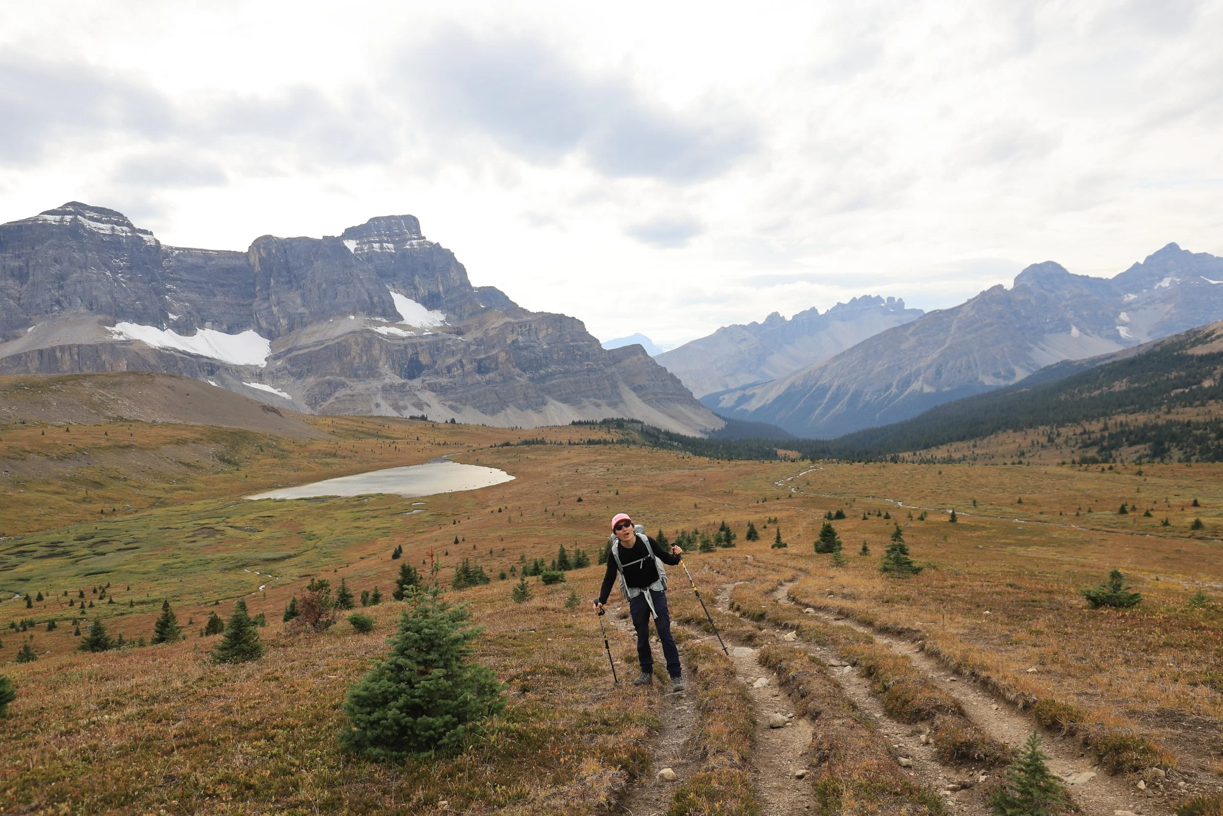
The grind to the top of North Molar Pass ramped up after passing the lake but we were already completely drained. Was I so tired because of the extra tripod weight? I pushed away any inkling of buyer’s remorse and focused on the trail.
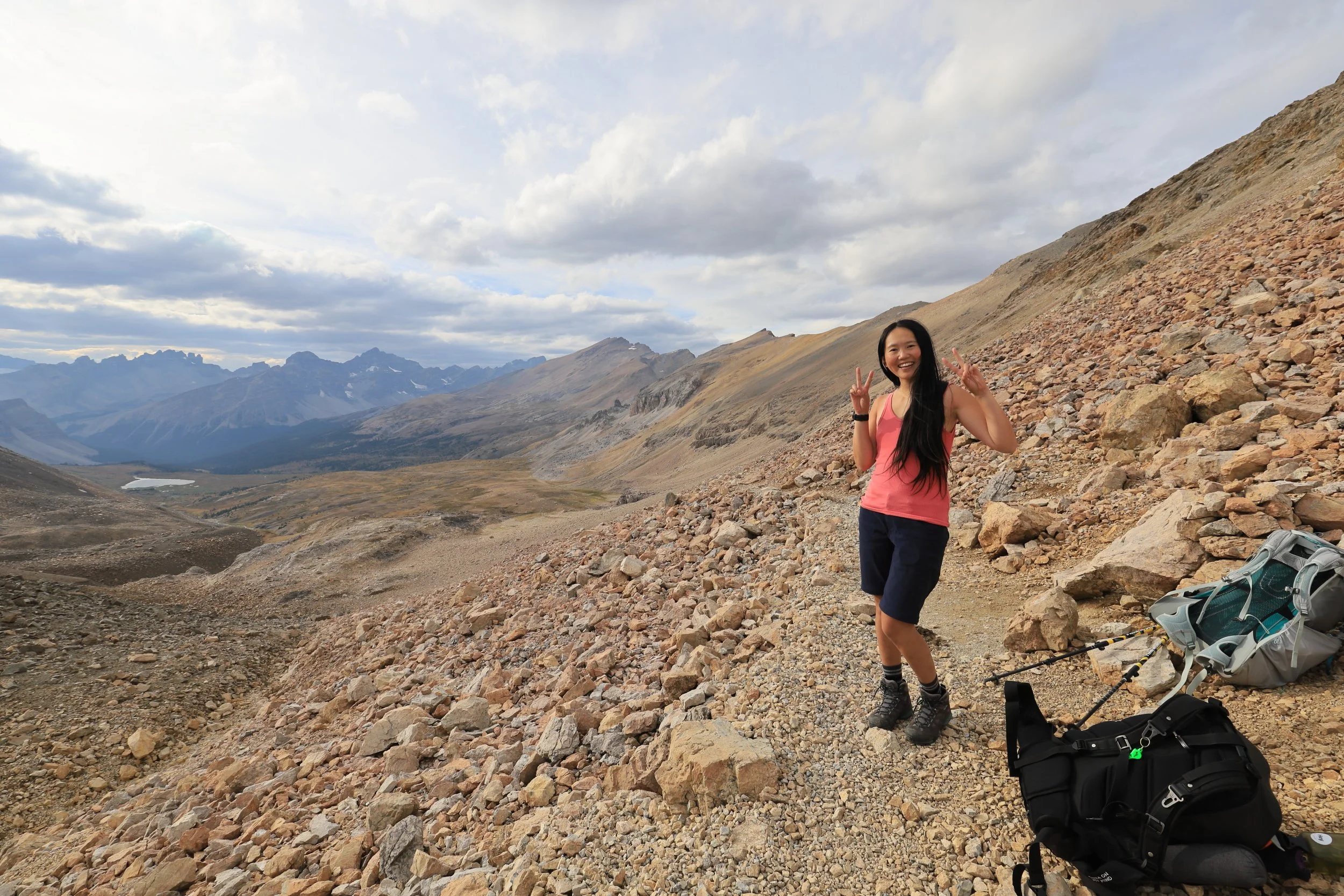

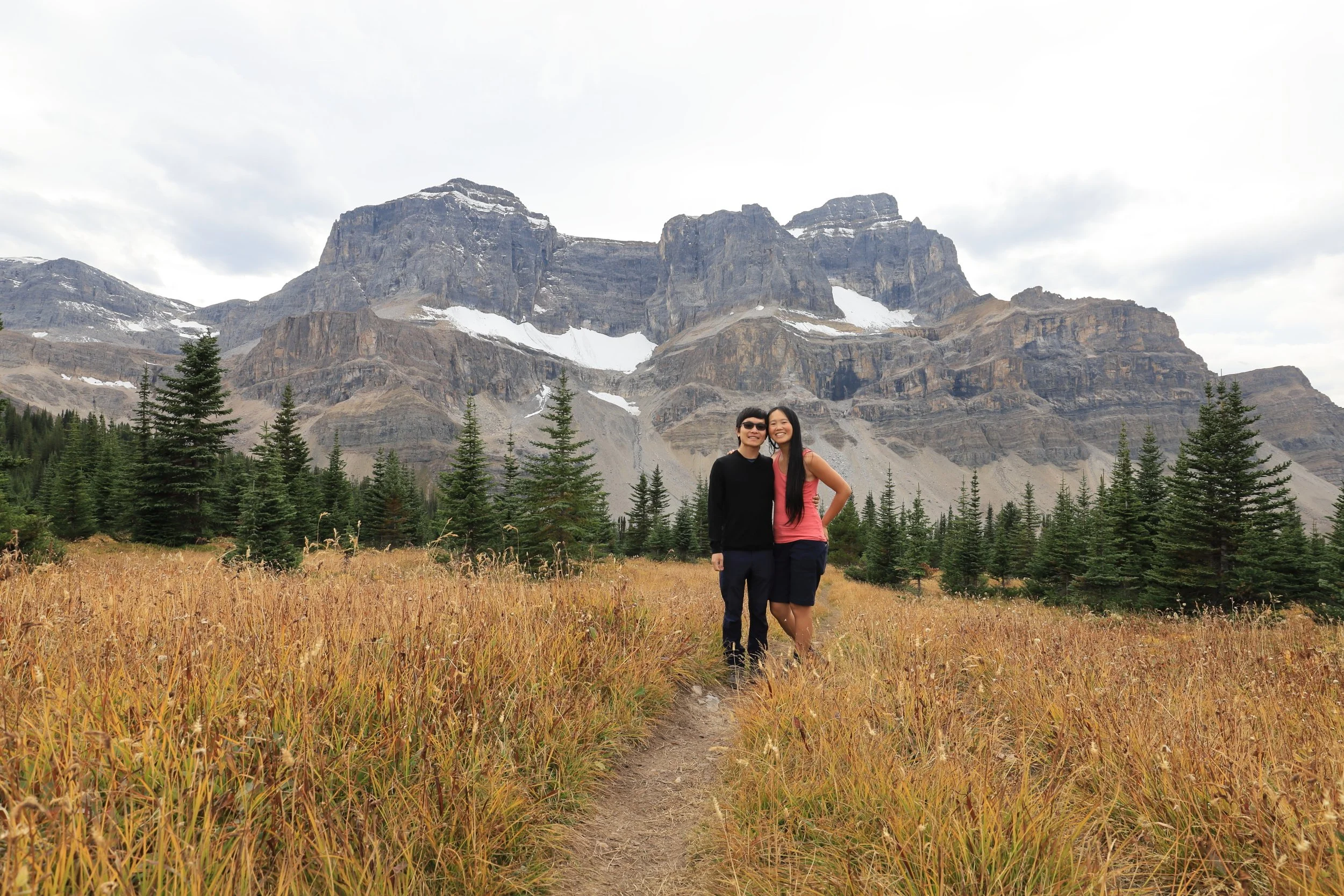
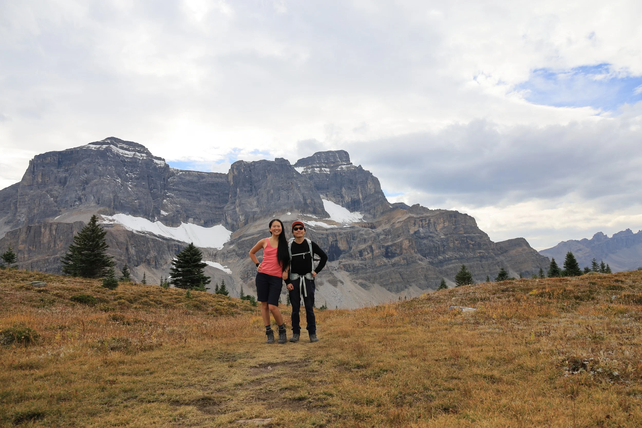
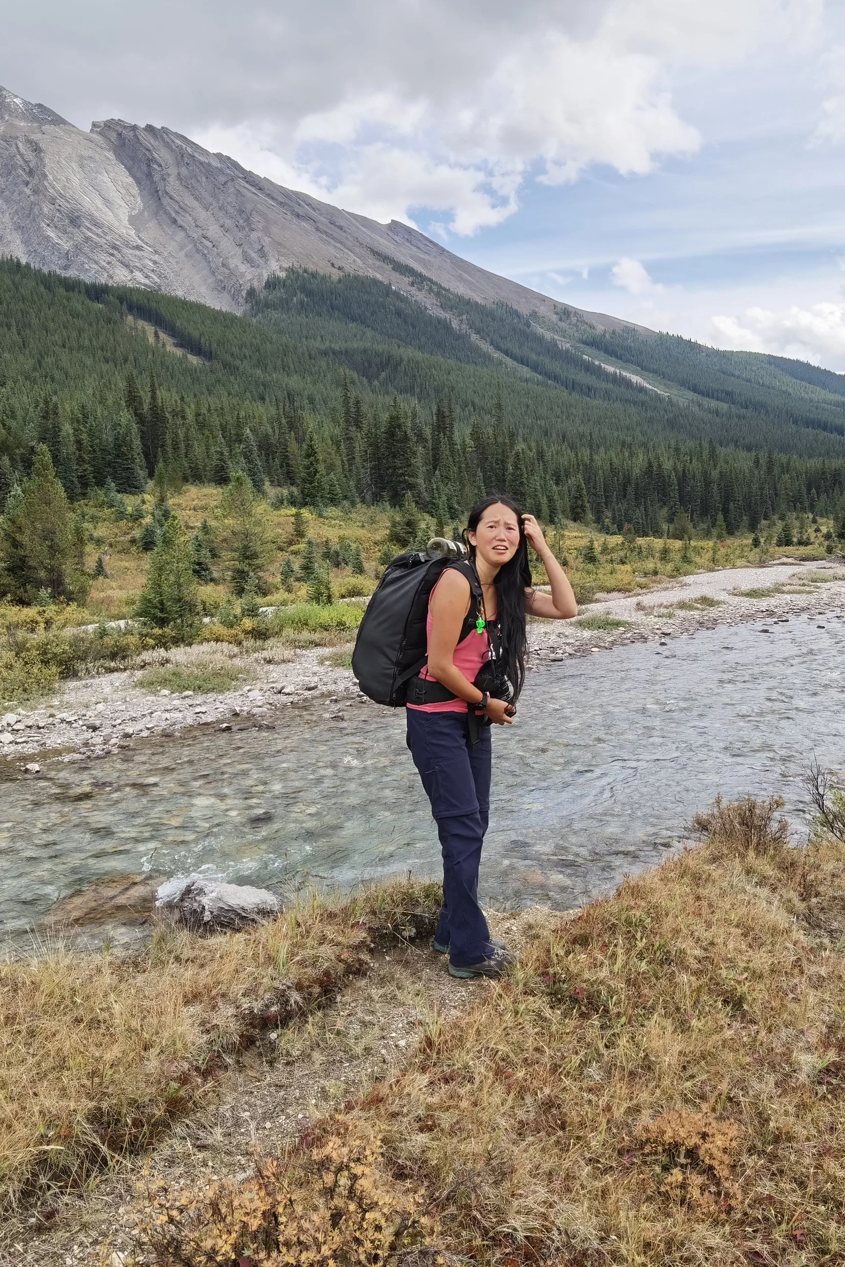
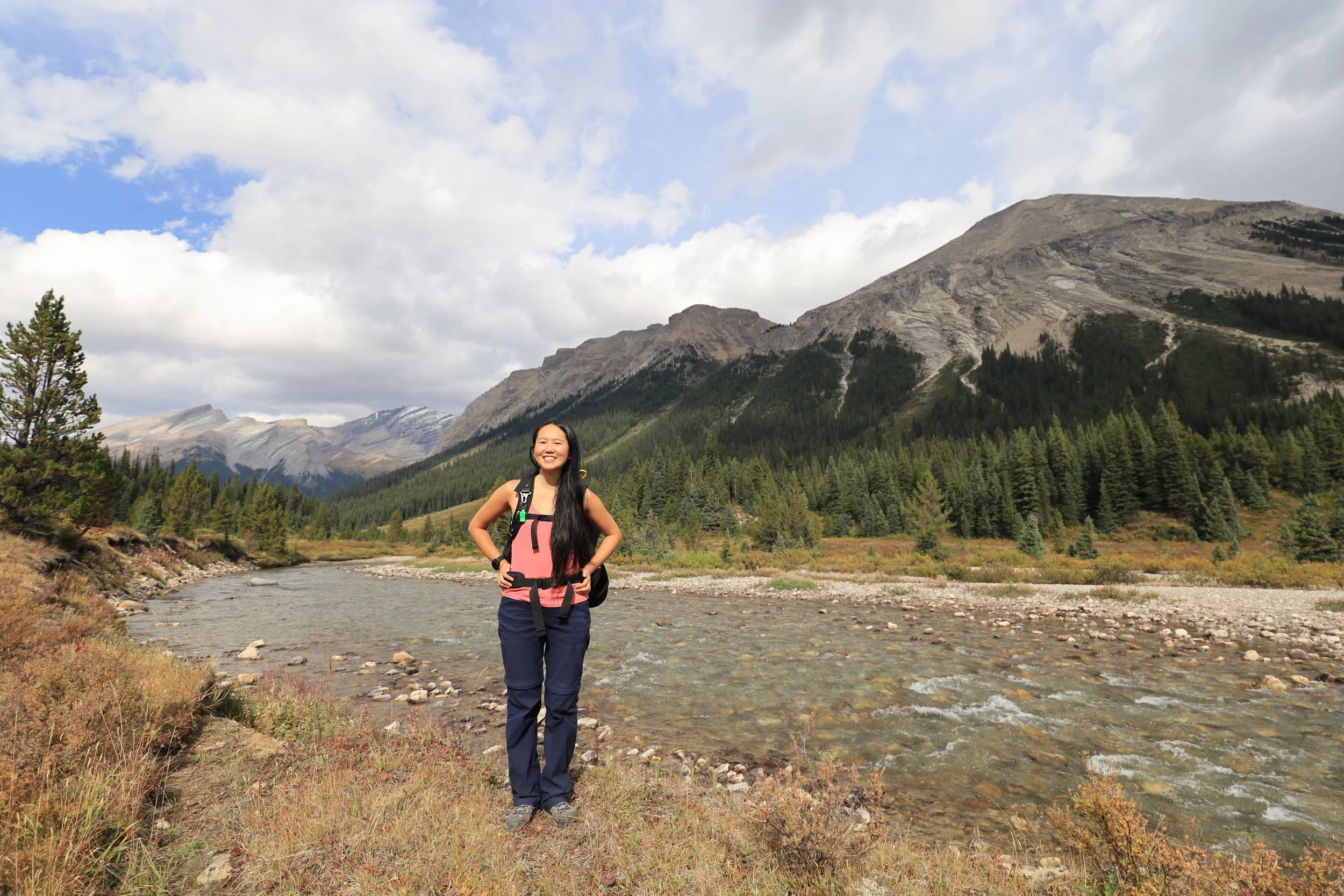
An elevation gain of 750m would normally count as a very respectable day hike for our fitness level. To do that while carrying big backpacks felt like punishment rather than an achievement. Of course we still need to smile big for the camera!

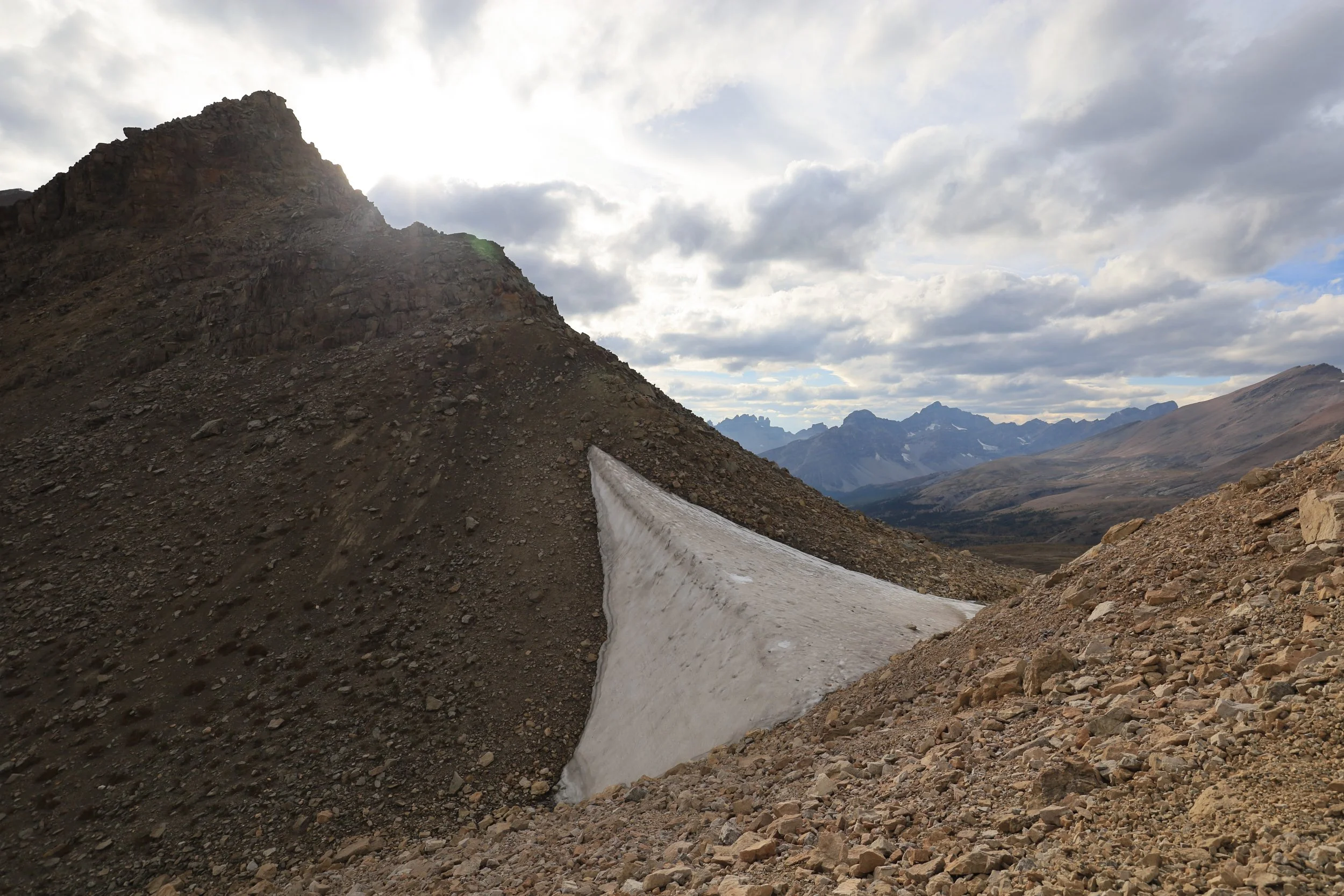
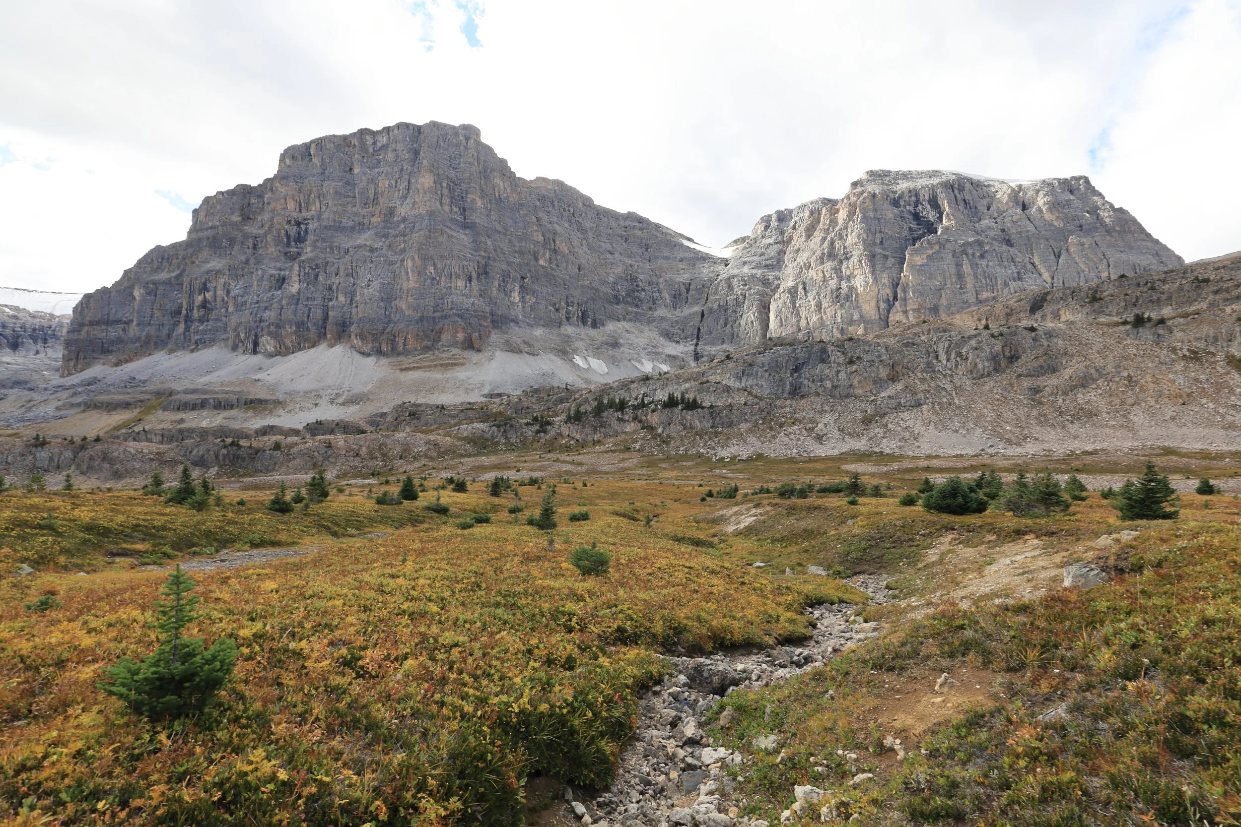
There was a wedge of old winter snow hiding in the dip of the pass. It seemed unlikely to melt as fresh snowfall was already filling cracks between ledges on the shadowy side of this grand rock wall. It also didn’t look like the remnants of an ancient glacier, but I wondered since accumulation outpaced the melting of snow here, would this little patch of hardened ice crystals be classified as a new glacier? Even if just for one year…
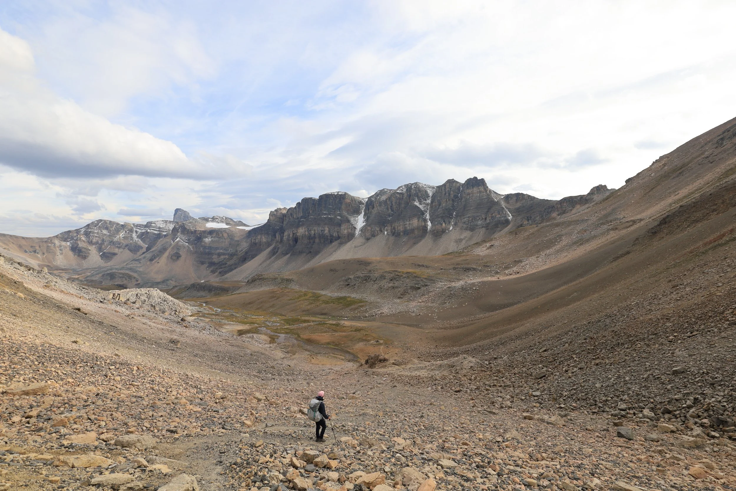
The descent of only 3.5km felt much longer than it should have been, probably due to our total mental and physical exhaustion. Down-hiking also carries a higher risk of injury than going up, so the temptation to turn off your brain and let gravity propel you down should be avoided especially when you’re tired.
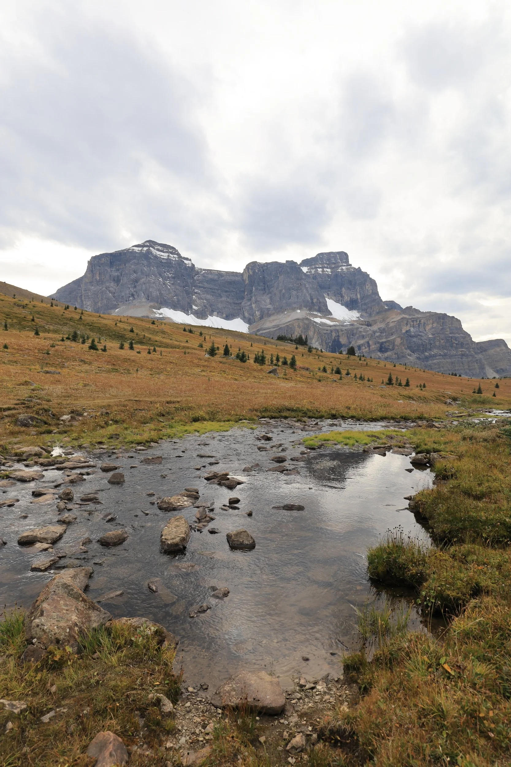
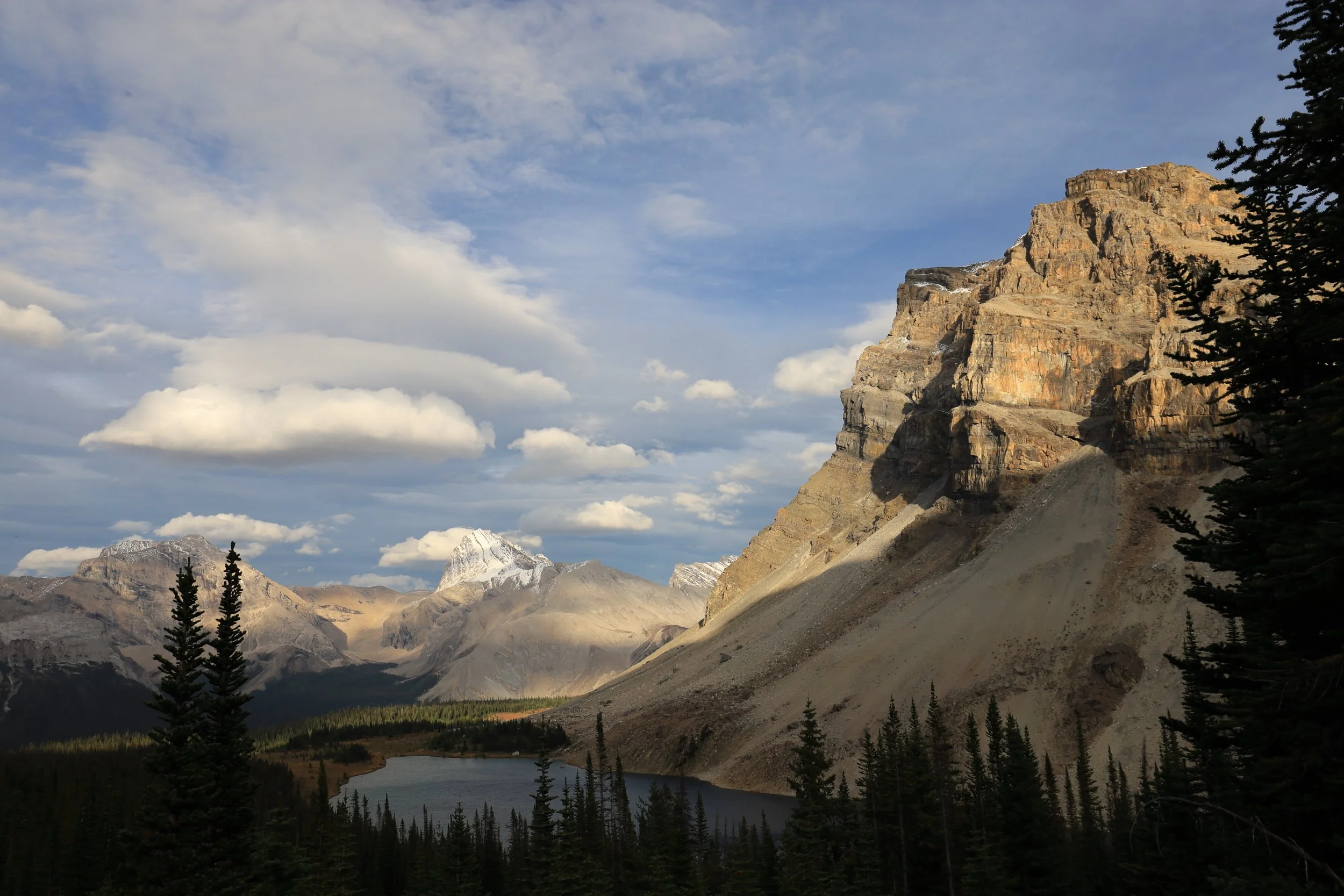
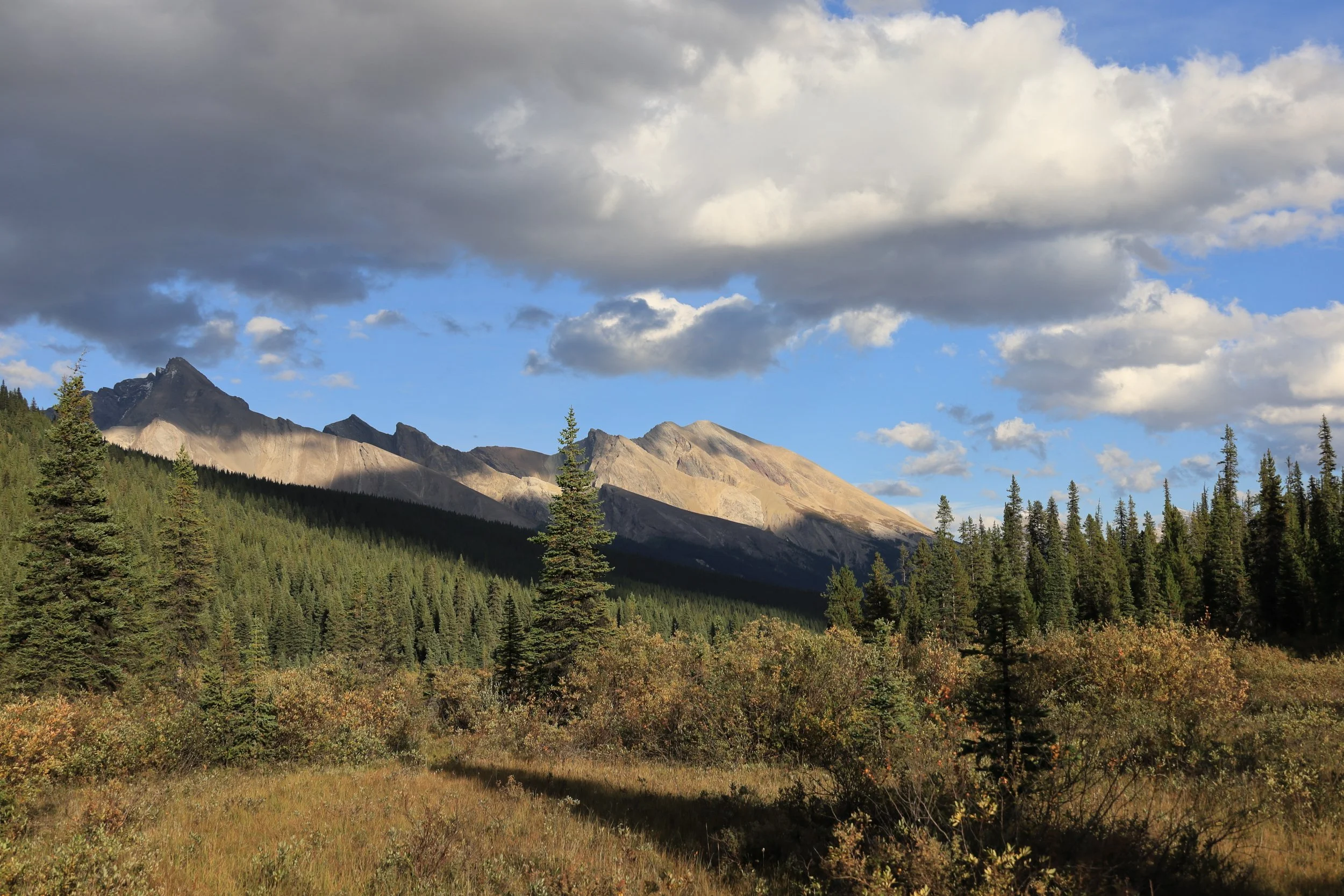
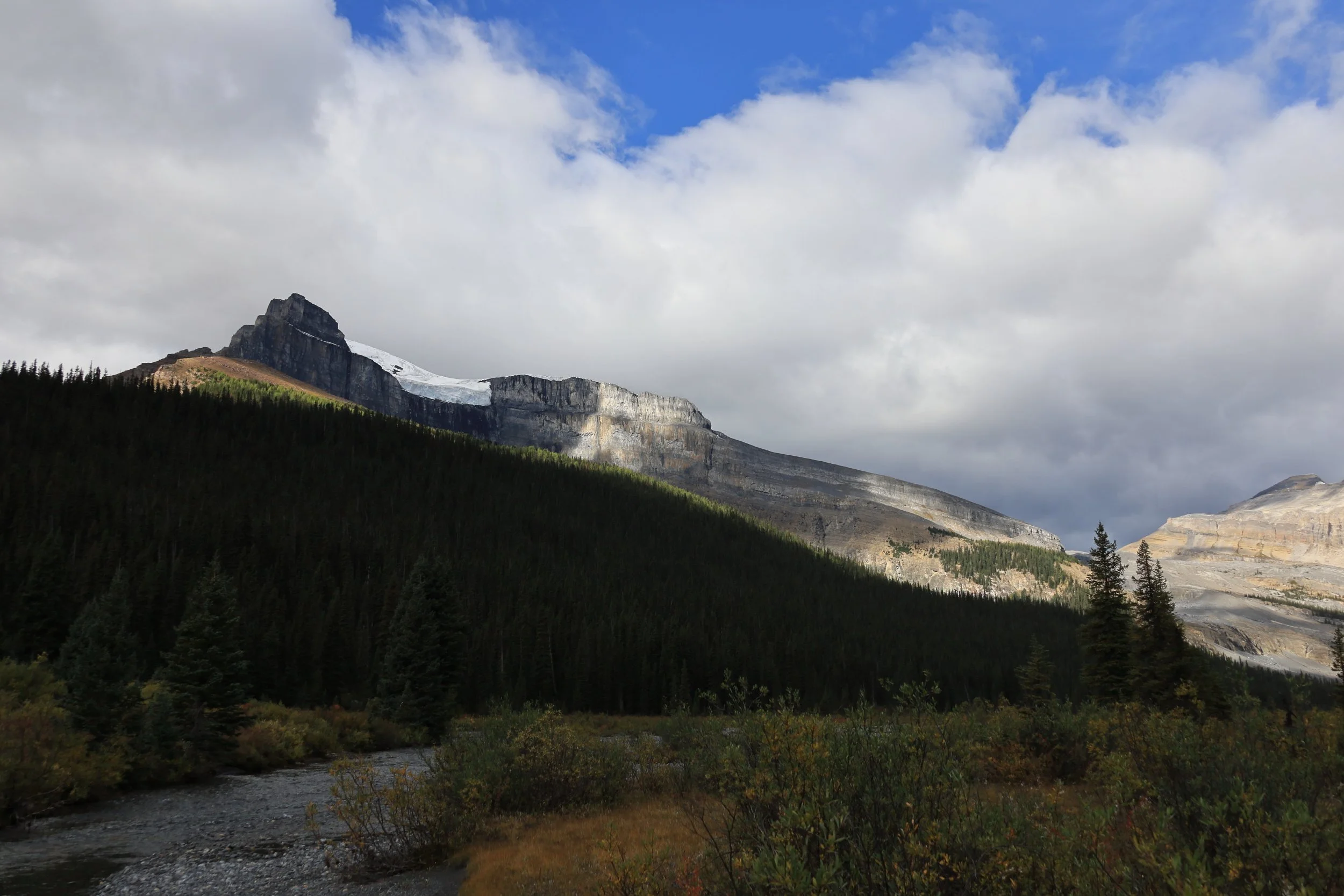
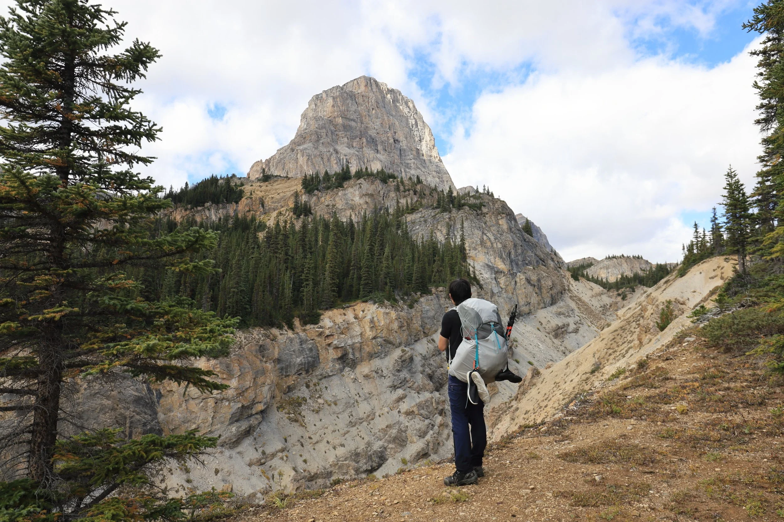
The sun was rapidly disappearing as we passed in and out of its last rays breaking over the peaks on our right.
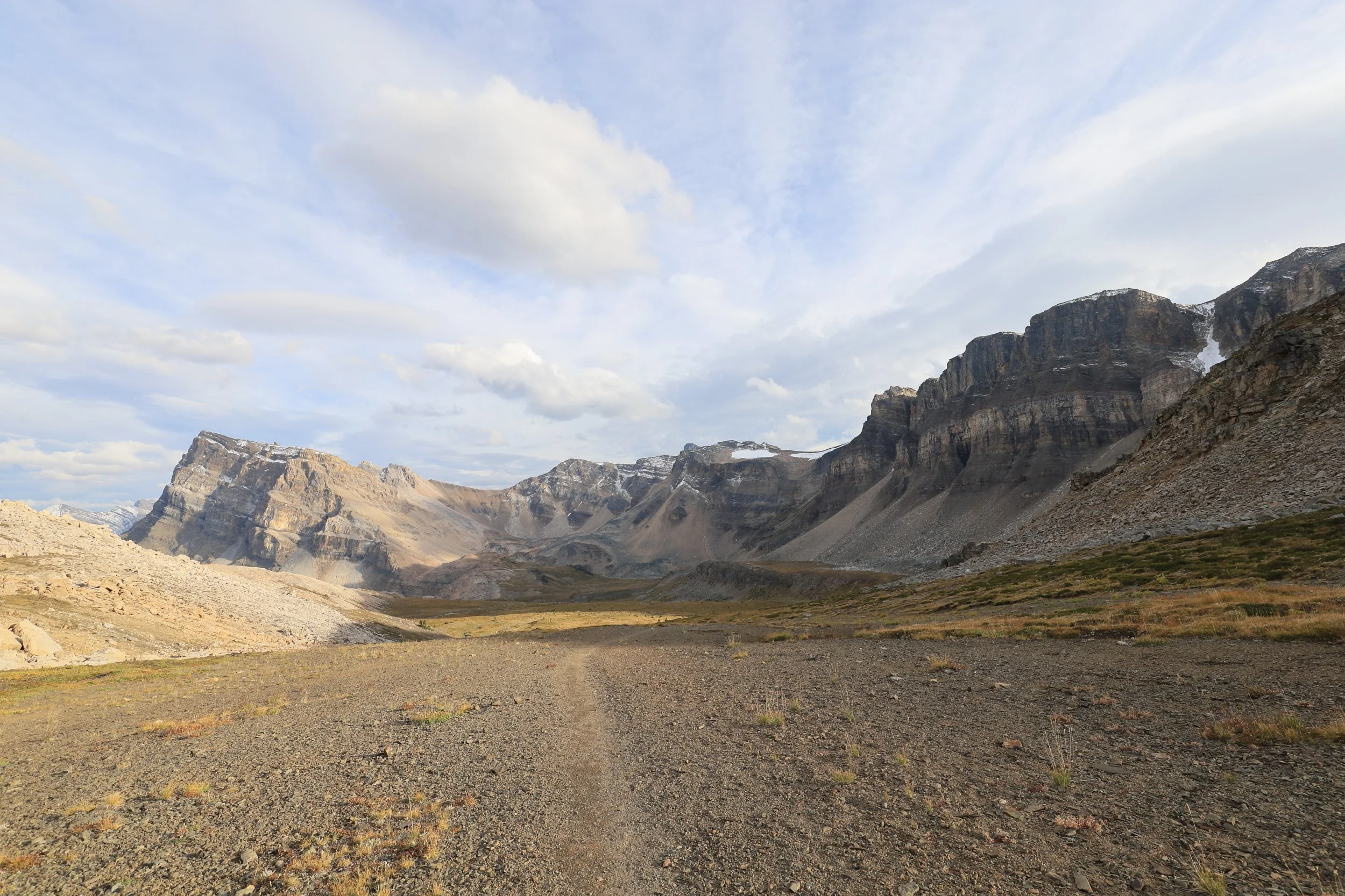
I loved the shape of the mountains on this side and wished we had the morning light shining instead. Do you see the giant pig’s head too?

Around the bend we spotted Cataract Peak with a prominent dusting of snow.
We finally arrived at Fish Lakes campground! While there’s only 5 campsites, we were surprised to find it full after not encountering a single hiker in this direction all day. I was curious where everyone was headed and learned that one group was venturing on to Devon Lakes tomorrow but no one matched our itinerary. We would soon find out why Molar Pass Loop was not so popular.
Day 2: Fish Lakes to Molar Creek (18.7km)
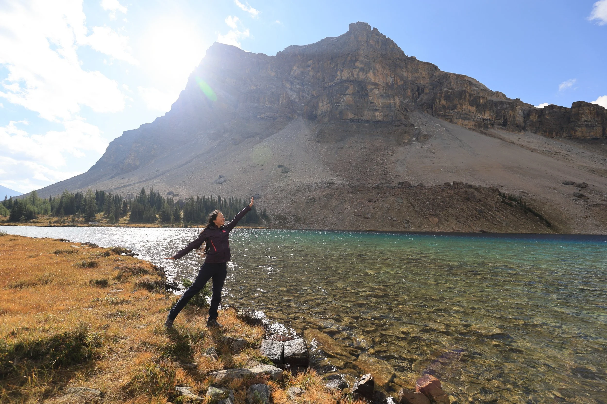
Fish Lakes was gorgeous with the morning light shimmering and dancing across clear alpine water. We took our sweet time enjoying breakfast and staging silly photos, savoring the reward for carrying a tripod to this remote location. These kinds of moments make the aches of a long hike melt away.
We were feeling rejuvenated and optimistic about the day ahead. I first read about Molar Pass Loop on a blog (which I can’t find it anymore so it probably went offline) and used AllTrails to gather data on recent conditions. There were only two reviews from this year. One with no comments and the second, which was very detailed and helpful, started off with a warning: “If you like trench foot this hike is for you!”.


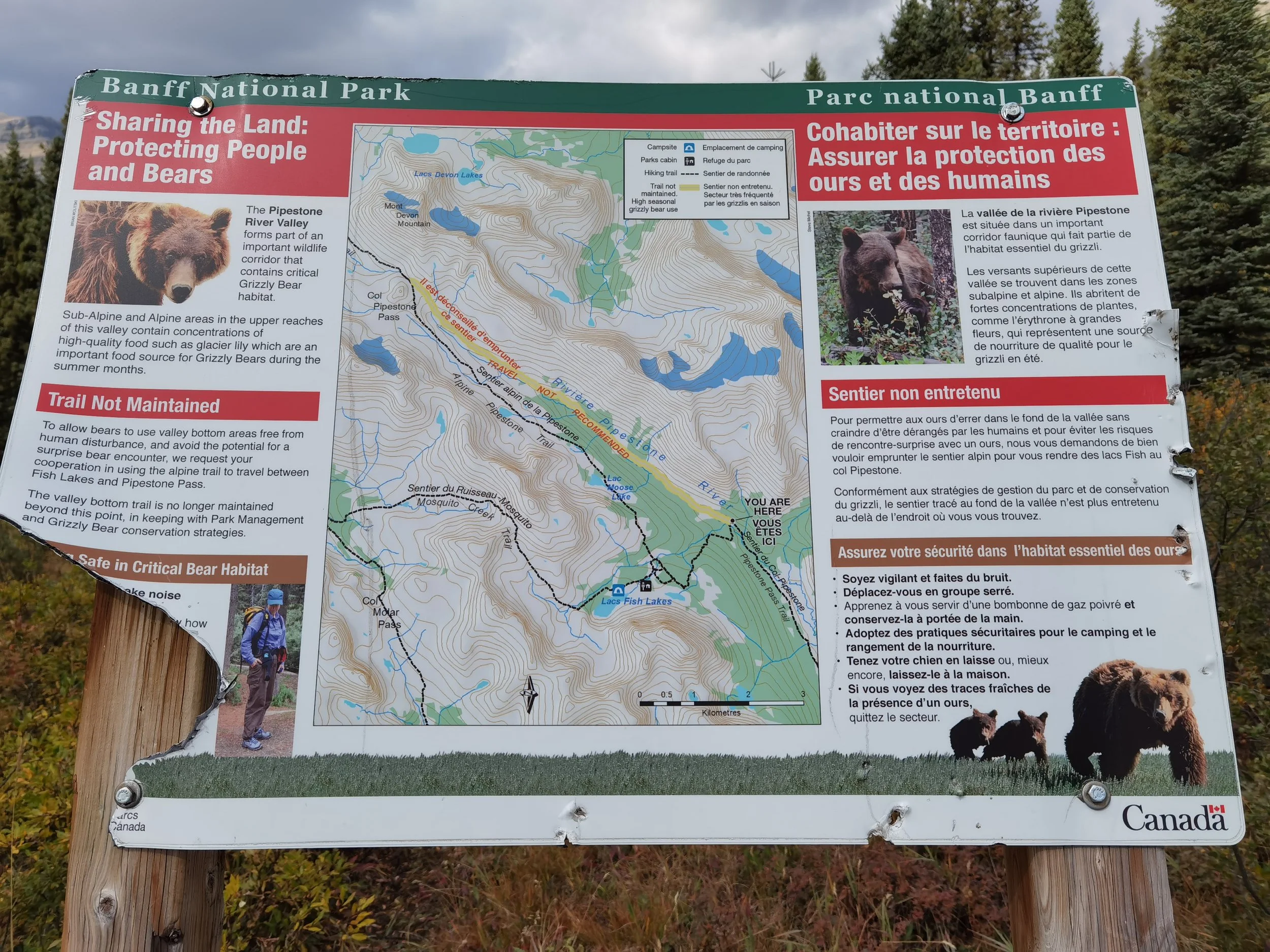
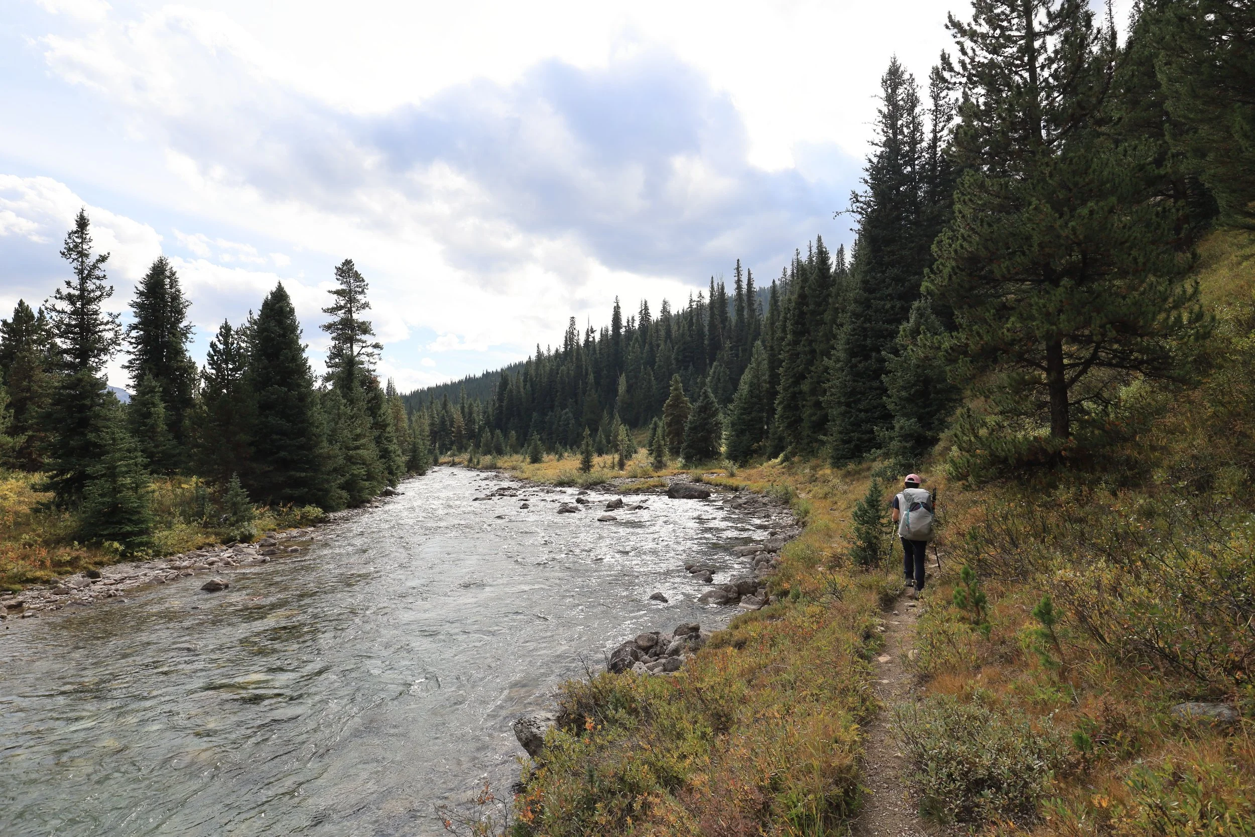
The blog and review both pinpointed their troubles to the section we were hiking today. At first the trail was easy to follow from the campground down to the Pipestone River. This corridor is supposedly well-traveled by grizzly bears but completely overgrown by human standards and the AllTrails GPS map is rendered useless.
From the photos it looks quite beautiful, an open field with a clear line of sight down the entire valley. What can be so confusing? As long as you keep the Pipestone River on your left and don’t start climbing up the mountain on your right, you can’t really get lost.
We followed the path for a few hundred meters until it suddenly terminated back at the river. Okay that must have been the wrong trail because we passed a split in the road just a bit back. We’d retrace our steps and try again, but end up at another dead end. And another. And another.
The bushes crowded over the trail often chest-high and forced us to move with our hands up and surrender. Branches clawed at our legs and instead of seeing the trail, we could only try to feel for breaks in resistance with our feet and legs through the dense brush.
The Pipestone river valley section is 10km but this method was starting to take too long. We decided to divide and conquer. At each fork we’d split up, staying within eyesight/shouting range and once somebody lost their trail, they’d carefully climb over the bushes to join the other person on the better trail.
The new strategy was better but still felt like a never-ending. mind-numbing slog. Frustrated at all the useless backtracking and zigzagging between the river and the mountain, we came up with a new motto:
Crush Every Bush!

Forget “leave no trace”, this was full-on wilderness bushwhacking. We raised our knees and stomped down, marching forward in the shortest straight line distance by crushing every bush in our way.
Finally making some real progress, the trail we blazed eventually met back up with the official trail. Until the river ate it up again.
But this time it was different! The river carved up against the slope of the mountain so there was only a small stretch where the trail could be found.
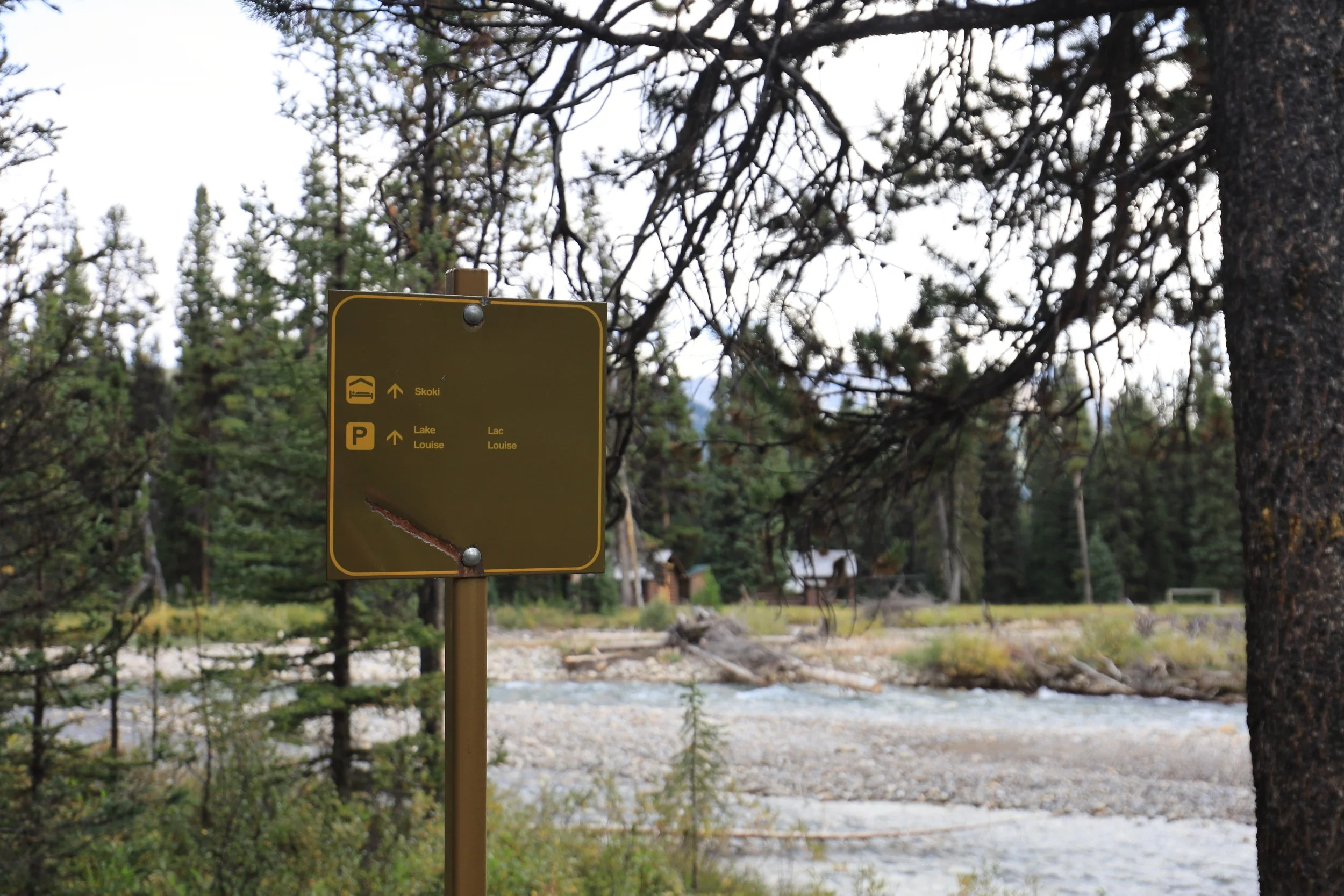
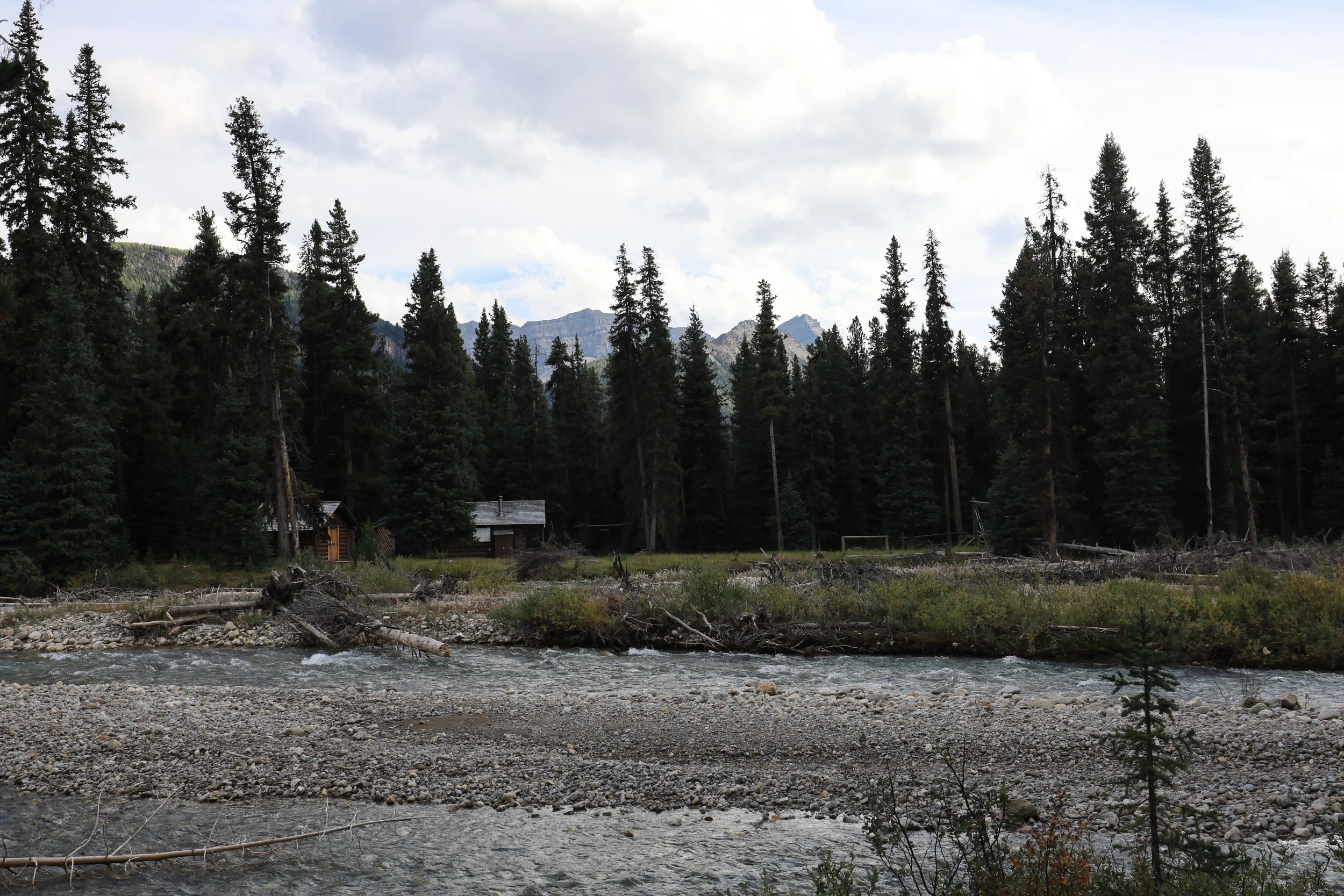
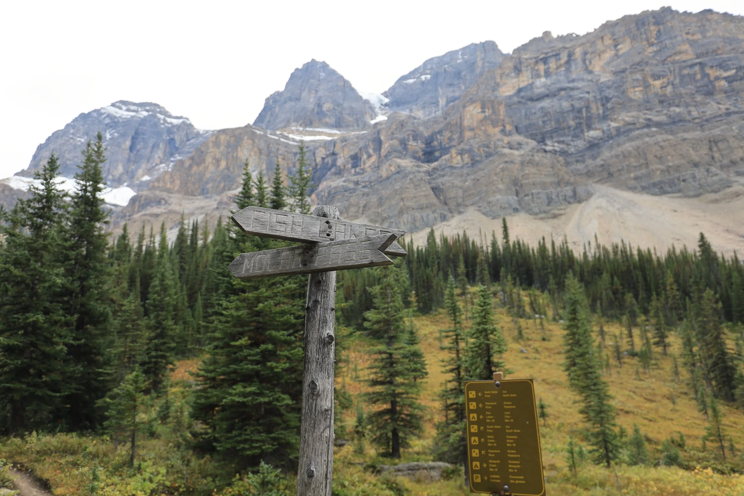
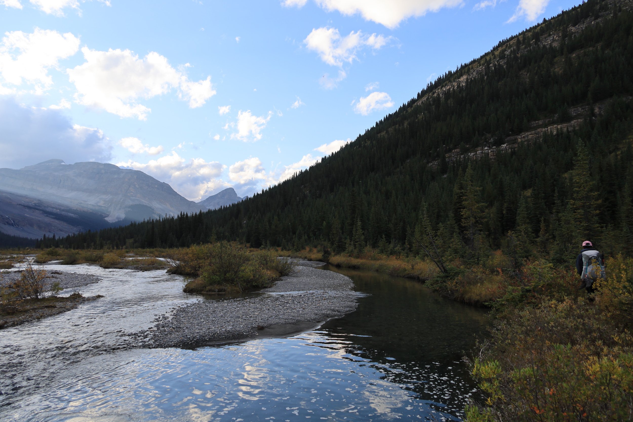
Soon we reached the junction with Molar Creek. We were surprised to see what looked like a ranger station across the Pipestone River. This is where you would ford across the river if you planned to continue to Lake Louise or meet up with the Skoki Loop. The river was fast and at least knee-deep, so we were very thankful not to have to worry about that.
We would be facing its cousin: the numerous crossings of Molar Creek. The AllTrails reviewer claims there are at least 20, concentrated around 5km before the campground where the GPS goes completely whack, hence the trench foot joke.
Switching between water shoes and hiking boots was so annoying. Jimmy’s water shoes have harder soles and can handle a bit of light hiking, but I needed to switch back every time.
We were going to arrive at sunset at best. The final rays bid us farewell and good luck ahead.
The creek twisted and branched out all over the place. Maybe there was no definite trail because slow-moving creeks tend to flood and shift every season. We wanted to minimize the water crossings but also not get trapped on the wrong side. It was getting dark, we were hungry and starting to worry.
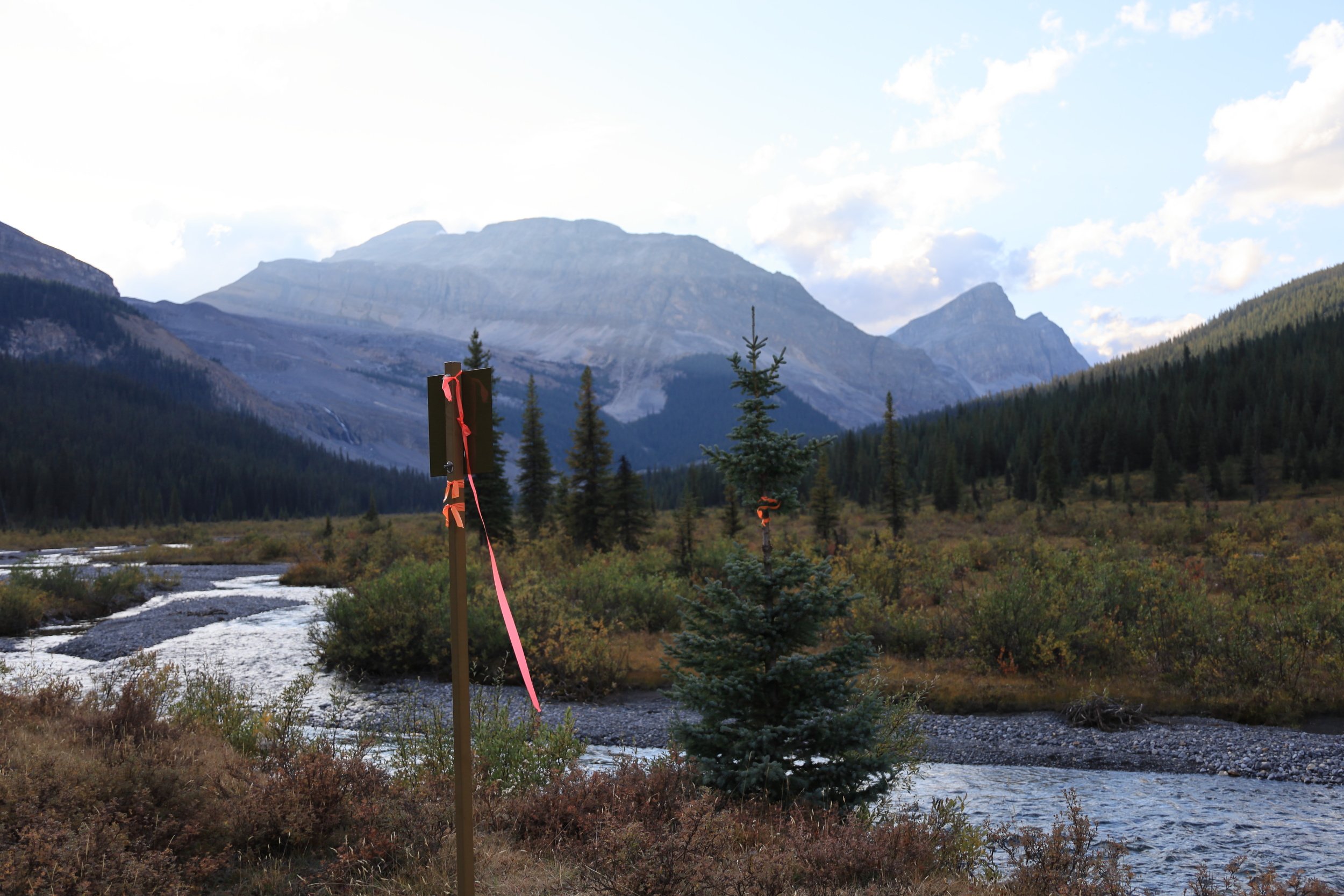
I recalled the hikers in that blog post facing a similar predicament at this moment. Right as they were about to give up on finding Molar Creek campground, they spotted bright reflective flagging through the darkness and fog. There it is!
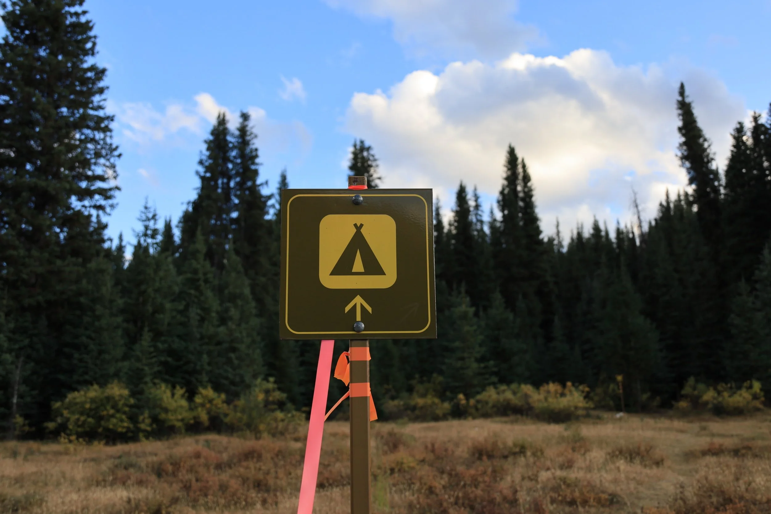
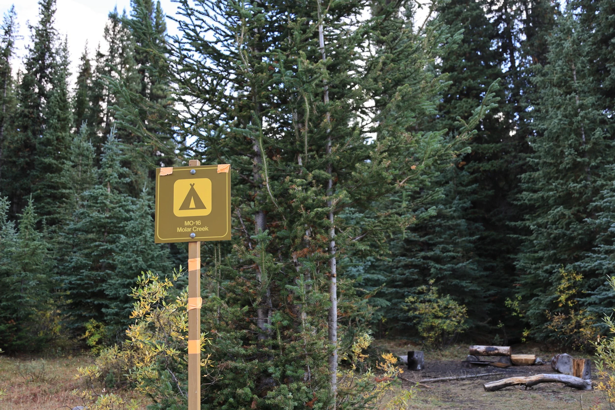
The campground was really well tucked away in the trees off the trail. We probably would have missed it too if the signs weren’t wrapped with reflective orange and pink flagging tape, and I didn’t specifically know to look for that.
A huge wave of relief washed over us for surviving the hardest day!
Day 3: Molar Creek to Trailhead (17.8km)
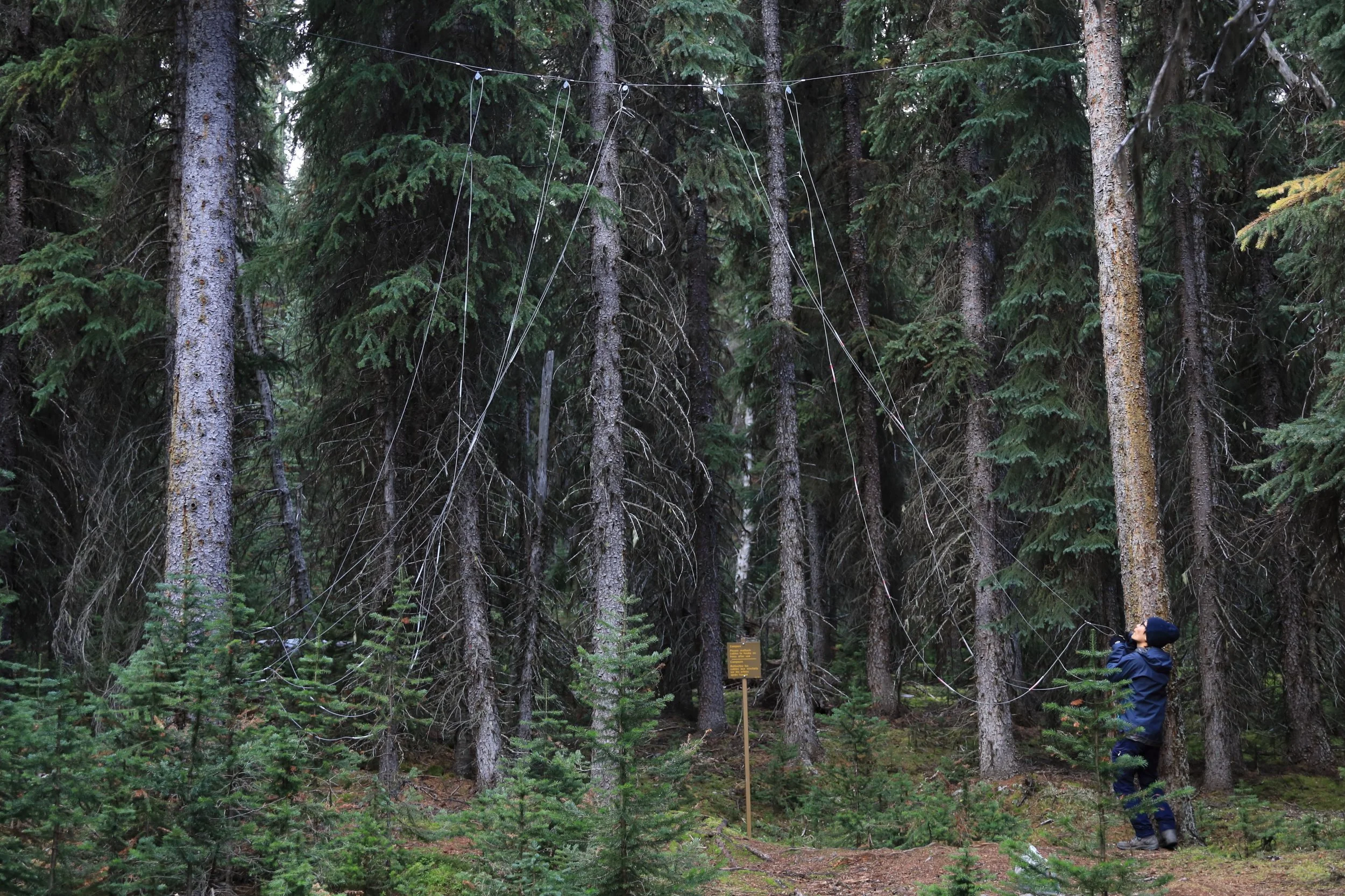
You know a campground is old school when they use bear hangs instead of lockers. Even more so when they are strung across two trees to be played like a giant musical instrument.

Firepits are also rare in the backcountry, but even if they were more common it would be difficult to collect enough firewood to be worth utilizing.
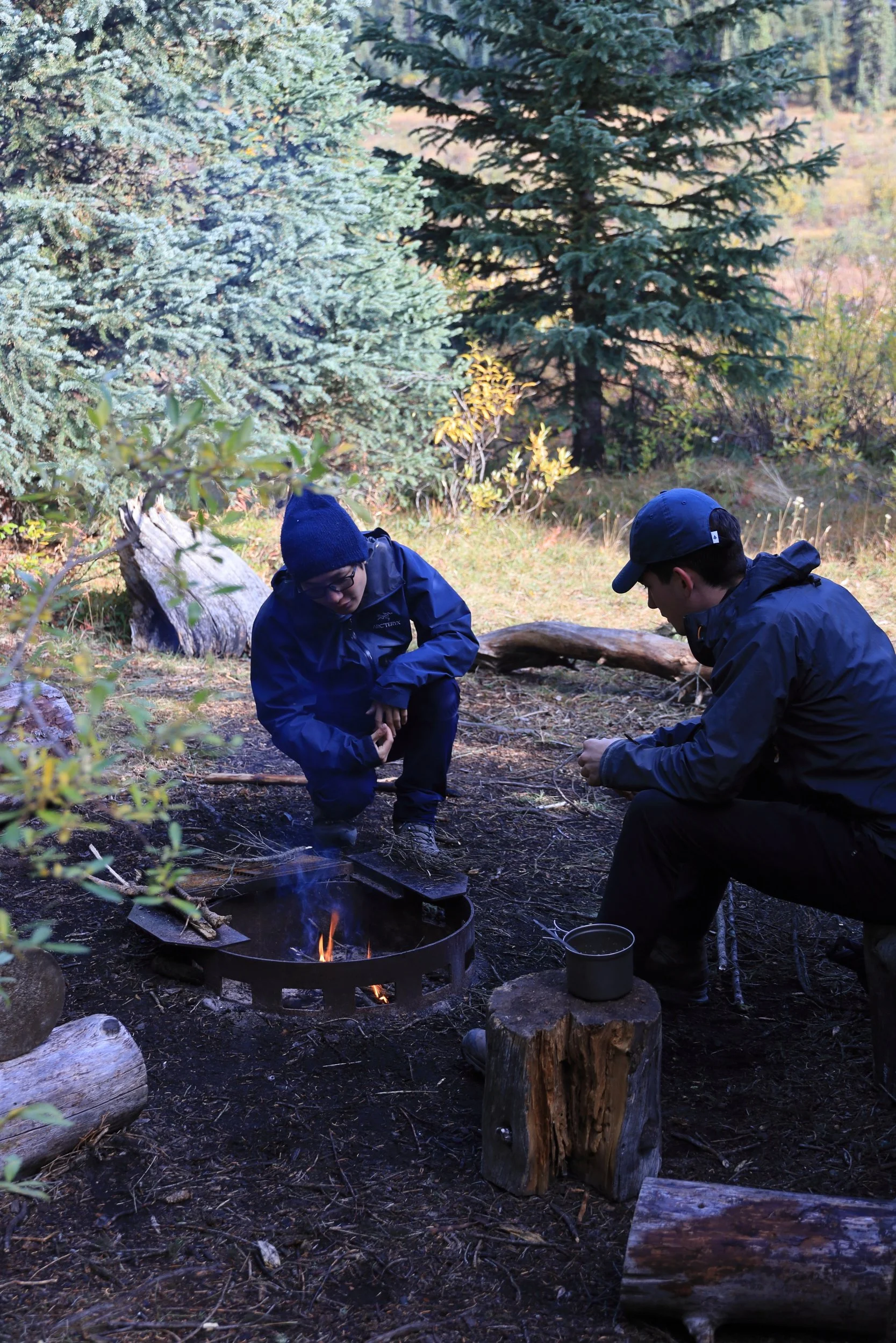
Luckily there was one other person at this campground, and he was really determined to make this campfire work. He was an international student who had landed in Canada a few days ago to study at the University of Calgary (class starts tomorrow!). We were absolutely mind blown that he found his way to this random, remote backcountry campsite by himself in a new country on his second day.
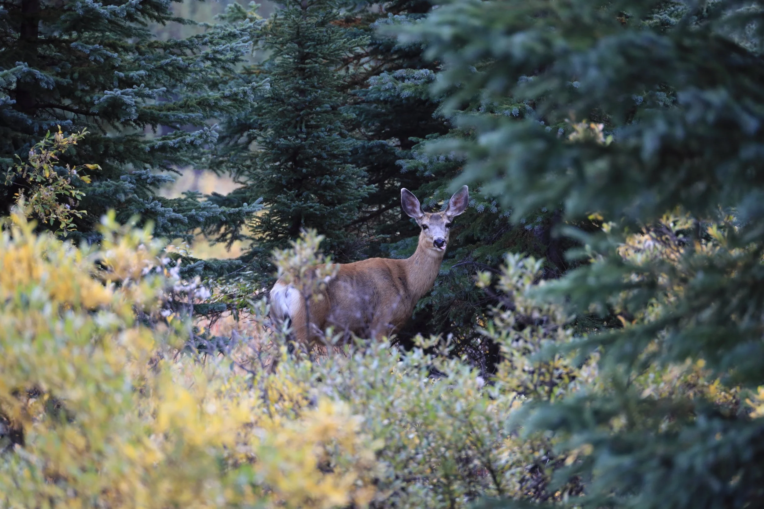

A cute deer joined us for breakfast at camp before we set off crossing the creek again.
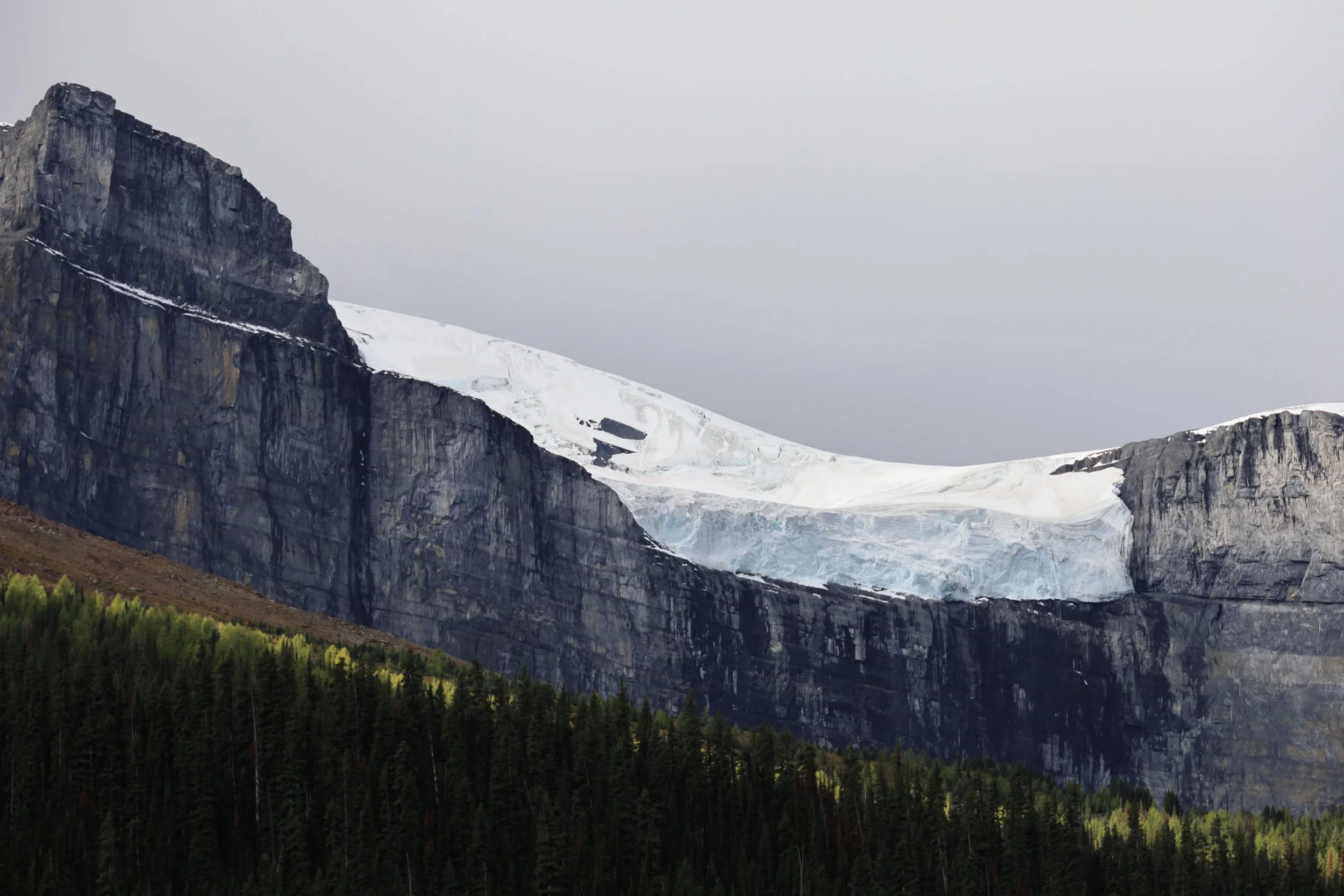
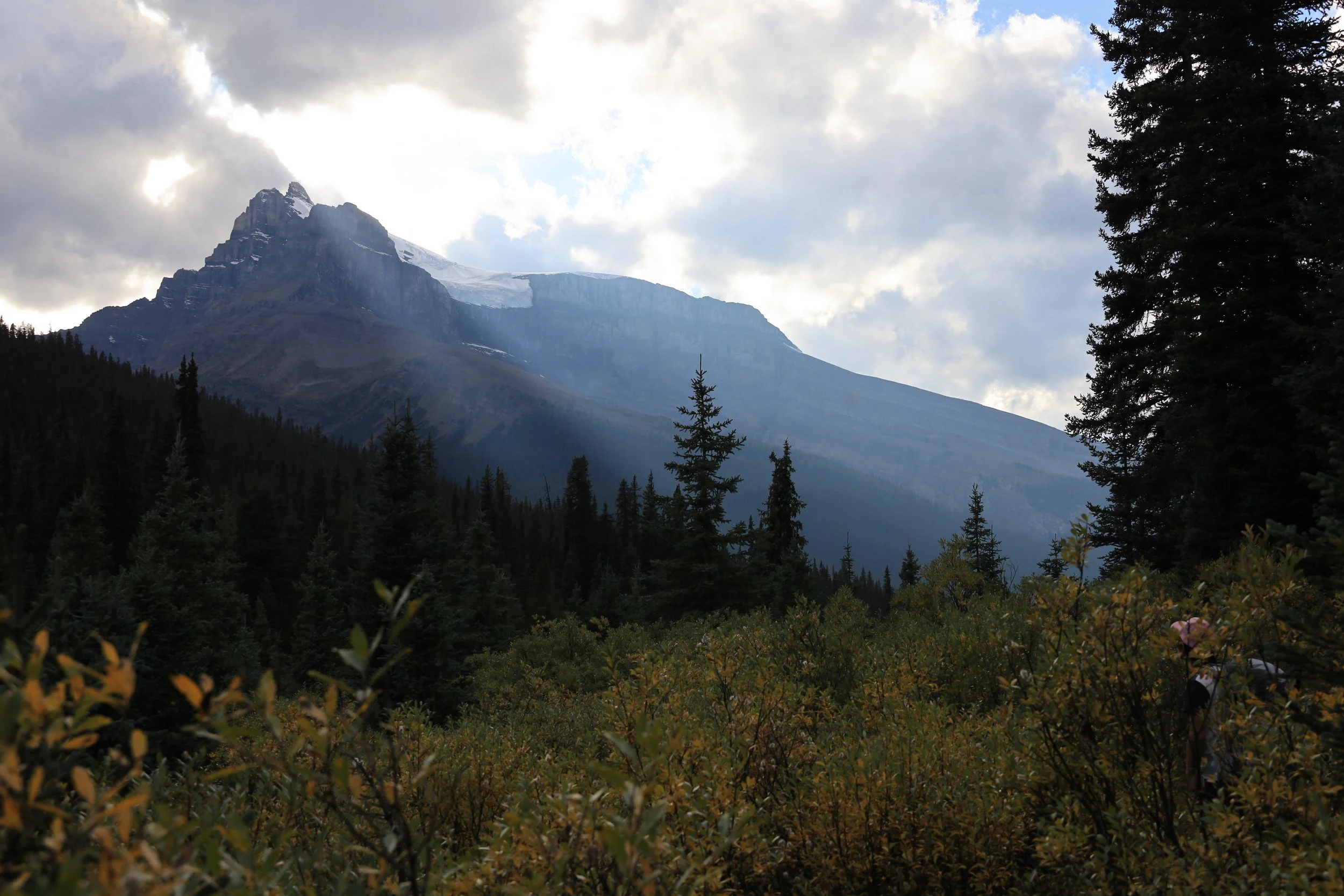
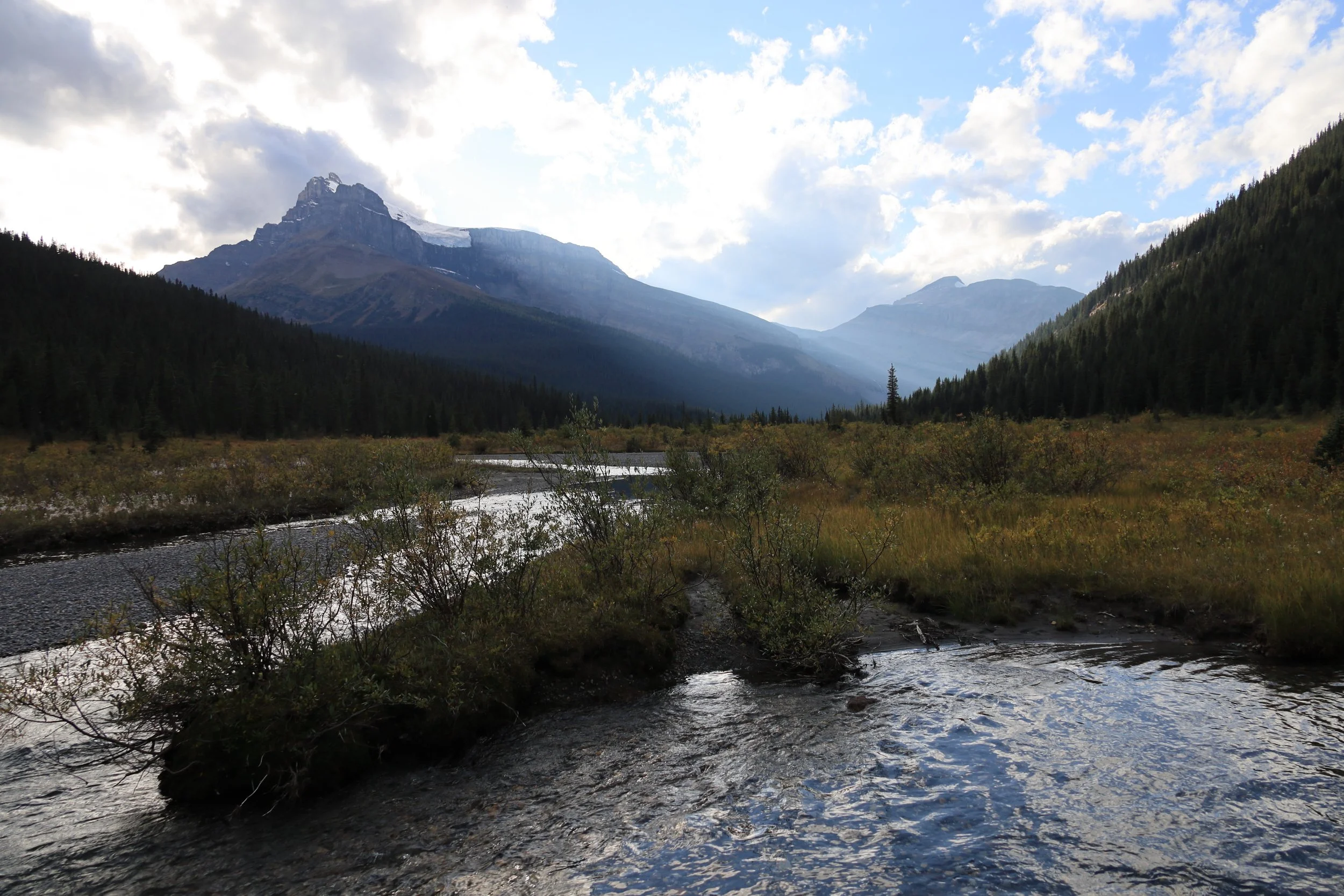
Back on the trail we could see Mount Hector and get a closer view of the Hector Glacier. That didn’t seem right at first so I even verified the names because Hector Lake is on the opposite side of the Icefields Parkway.
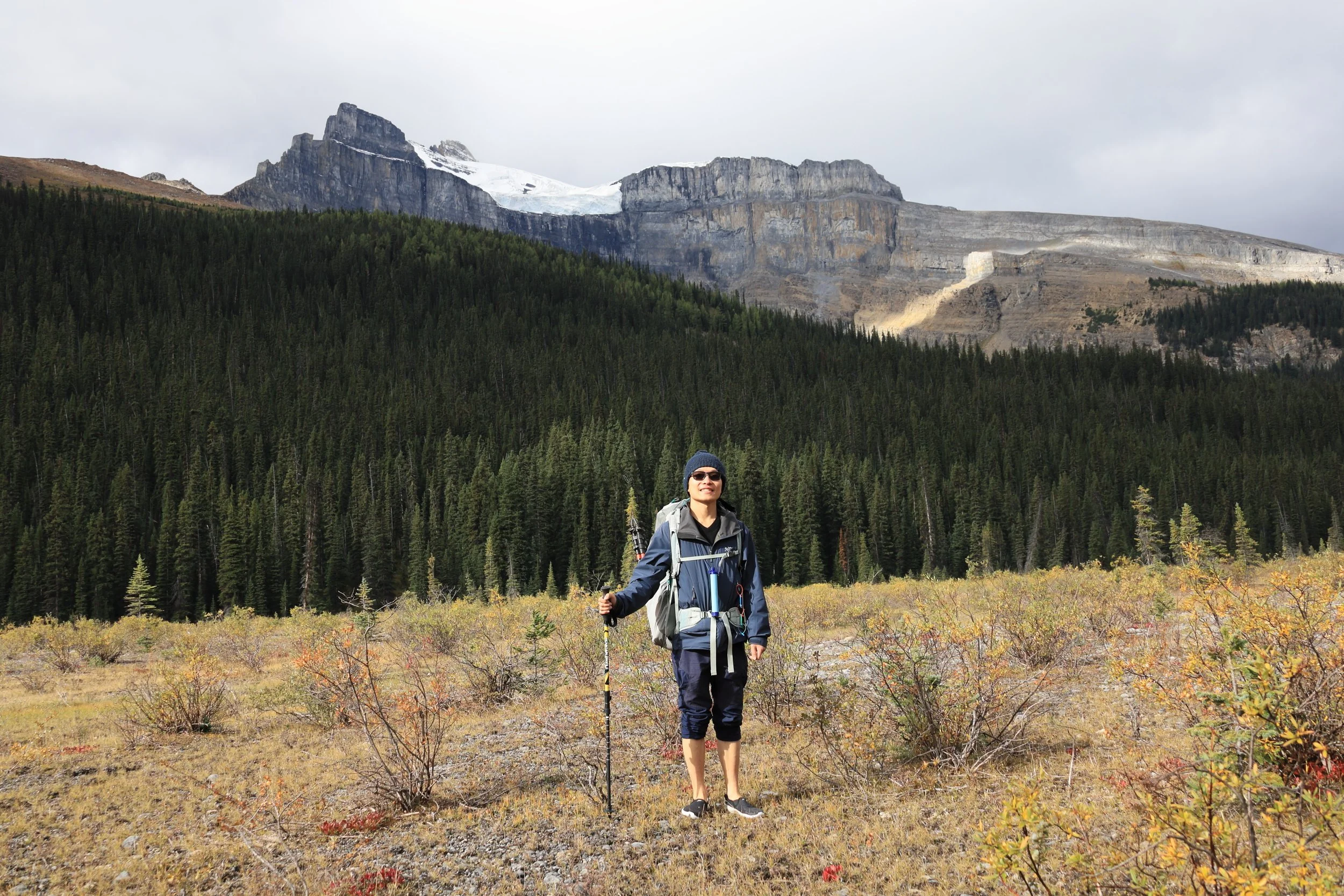
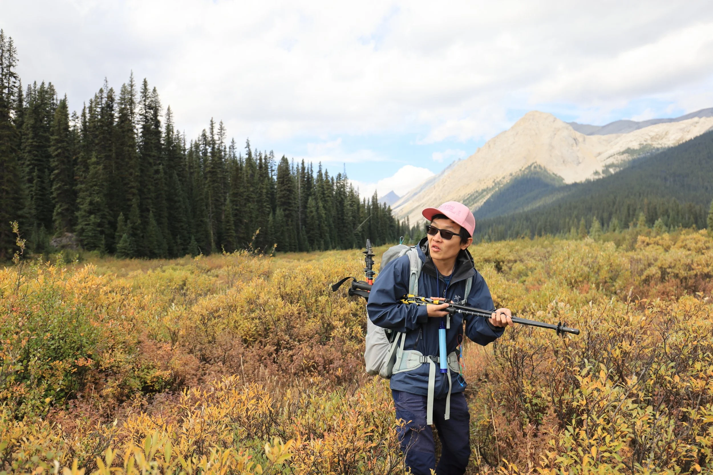
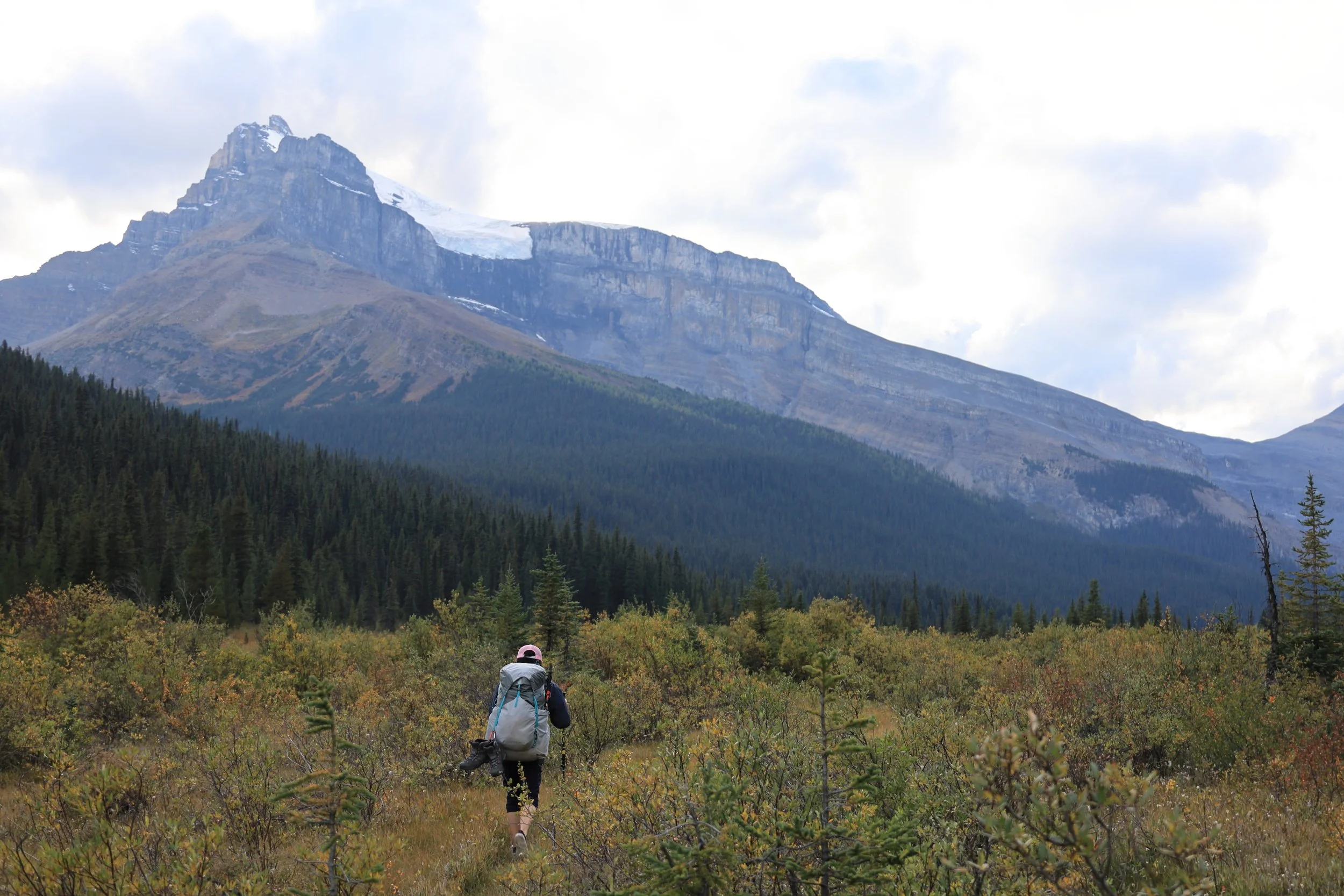
Armed with experience from yesterday’s 20 creek crossings (I think we did less, so maybe we took a more efficient route than the AllTrails reviewer), I didn’t bother switching shoes anymore until we finished the creek section. I couldn’t just go with my pant legs removed due to all the scratchy bushes to be crushed, hence the one leg exposed fashion statement.
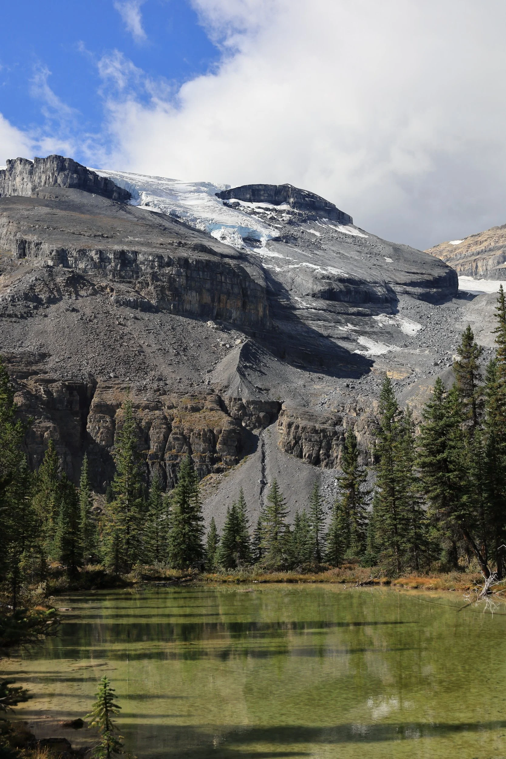
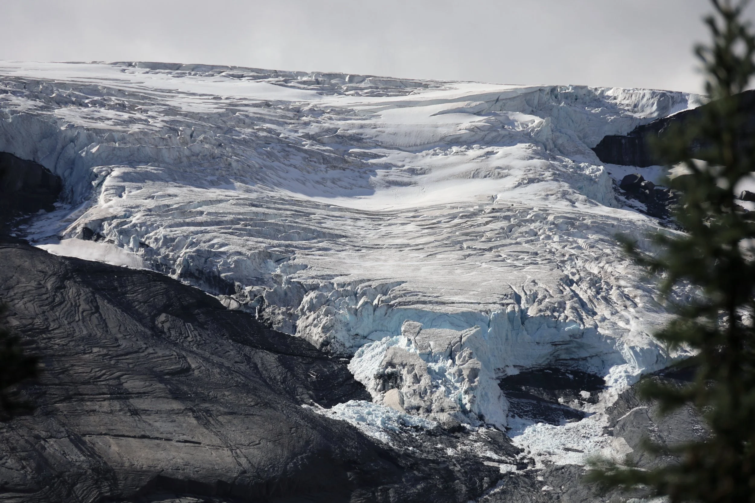
Another section of Hector Glacier appeared showcasing deep crevasses.
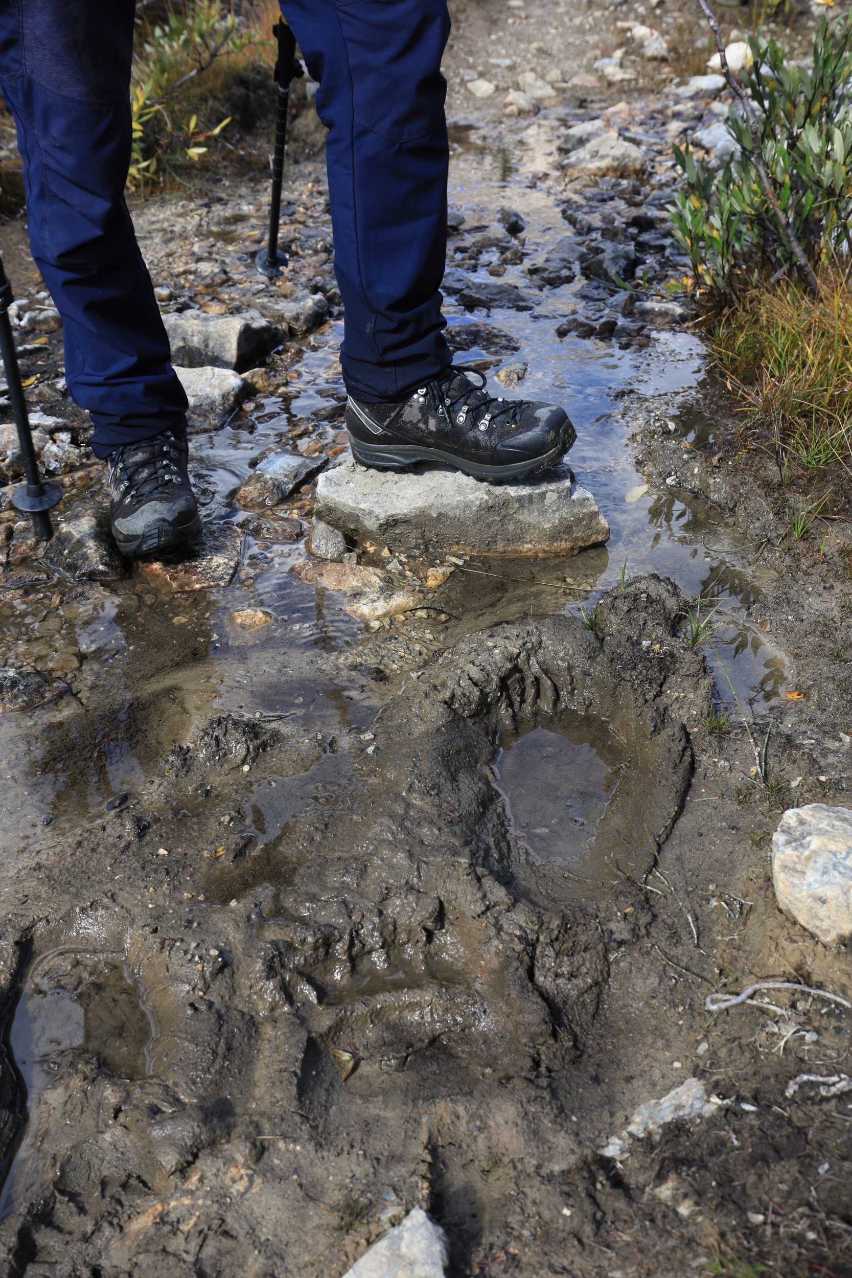
Don’t forget to look down as well! We spotted clear claw marks in the mud indicating fresh bear tracks.
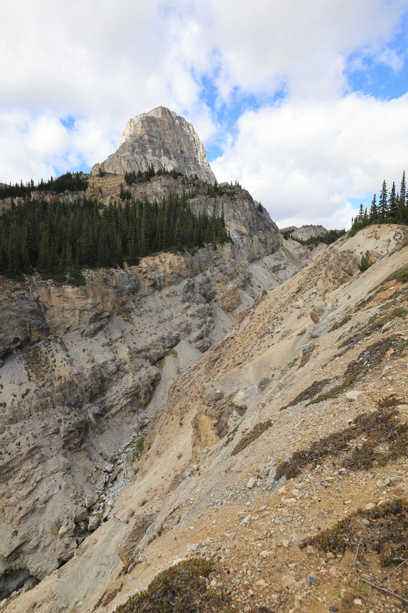
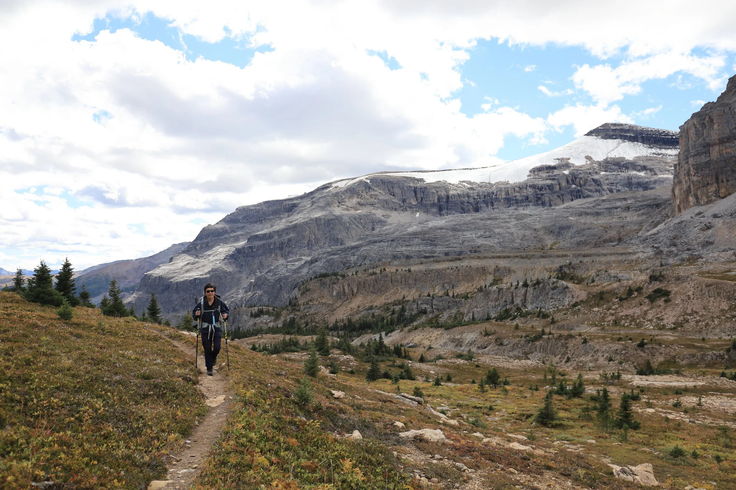
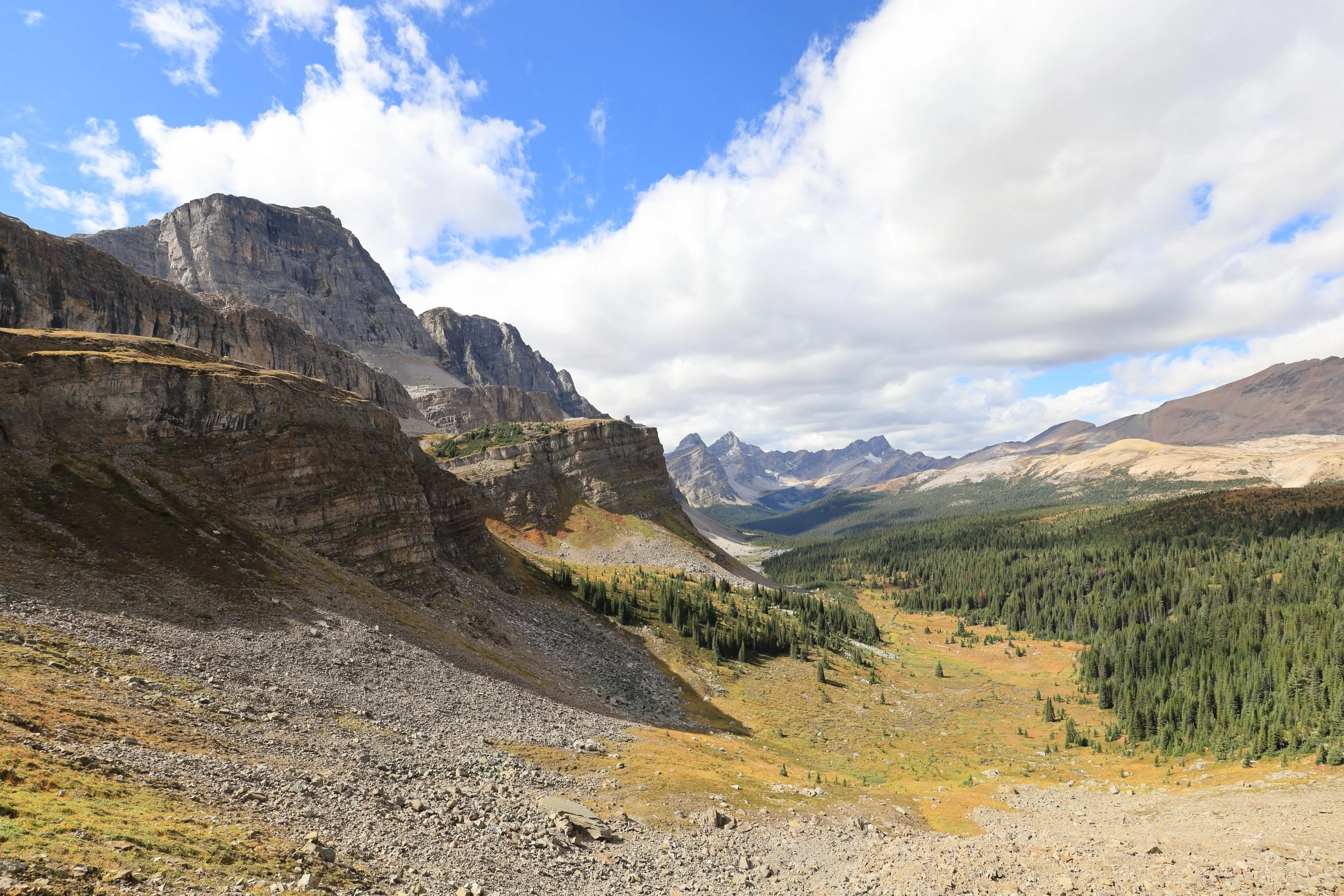
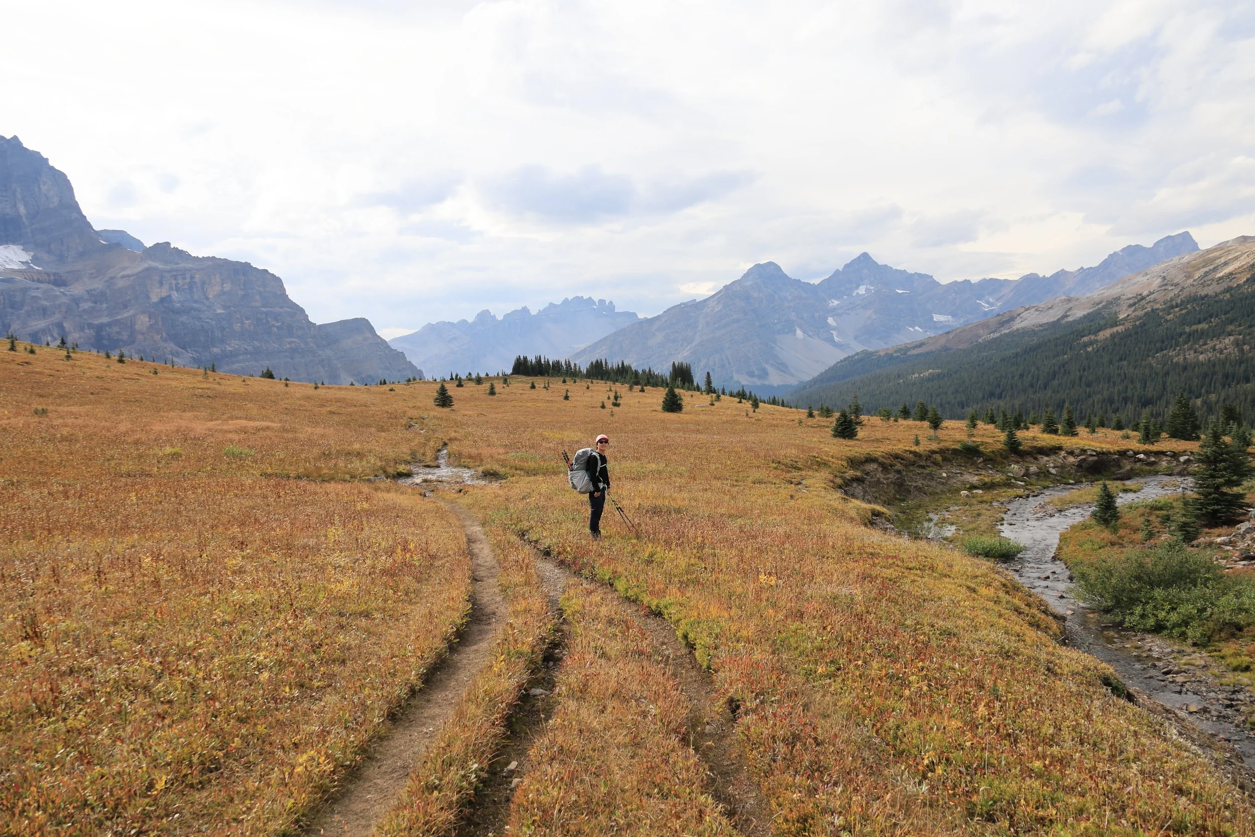
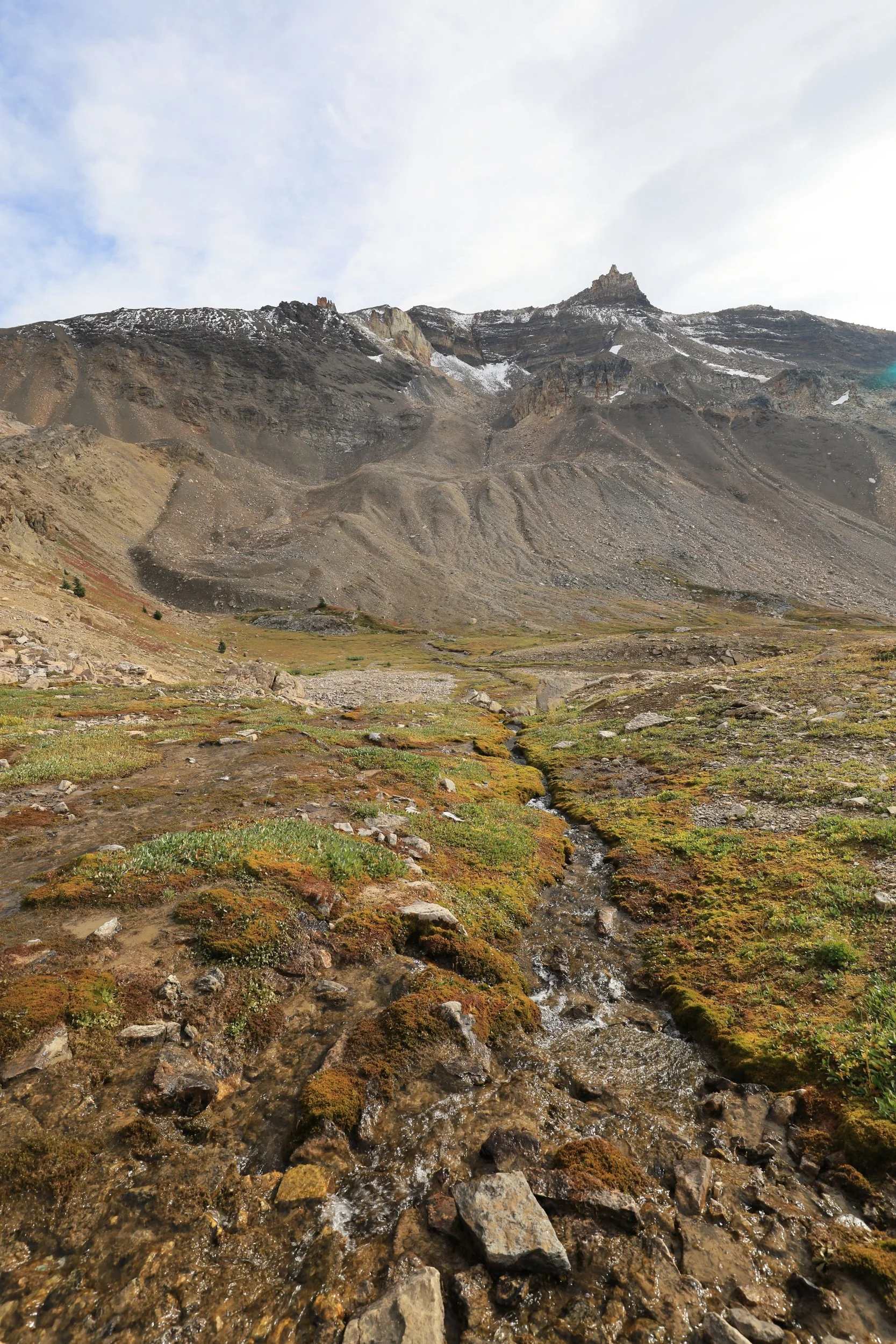
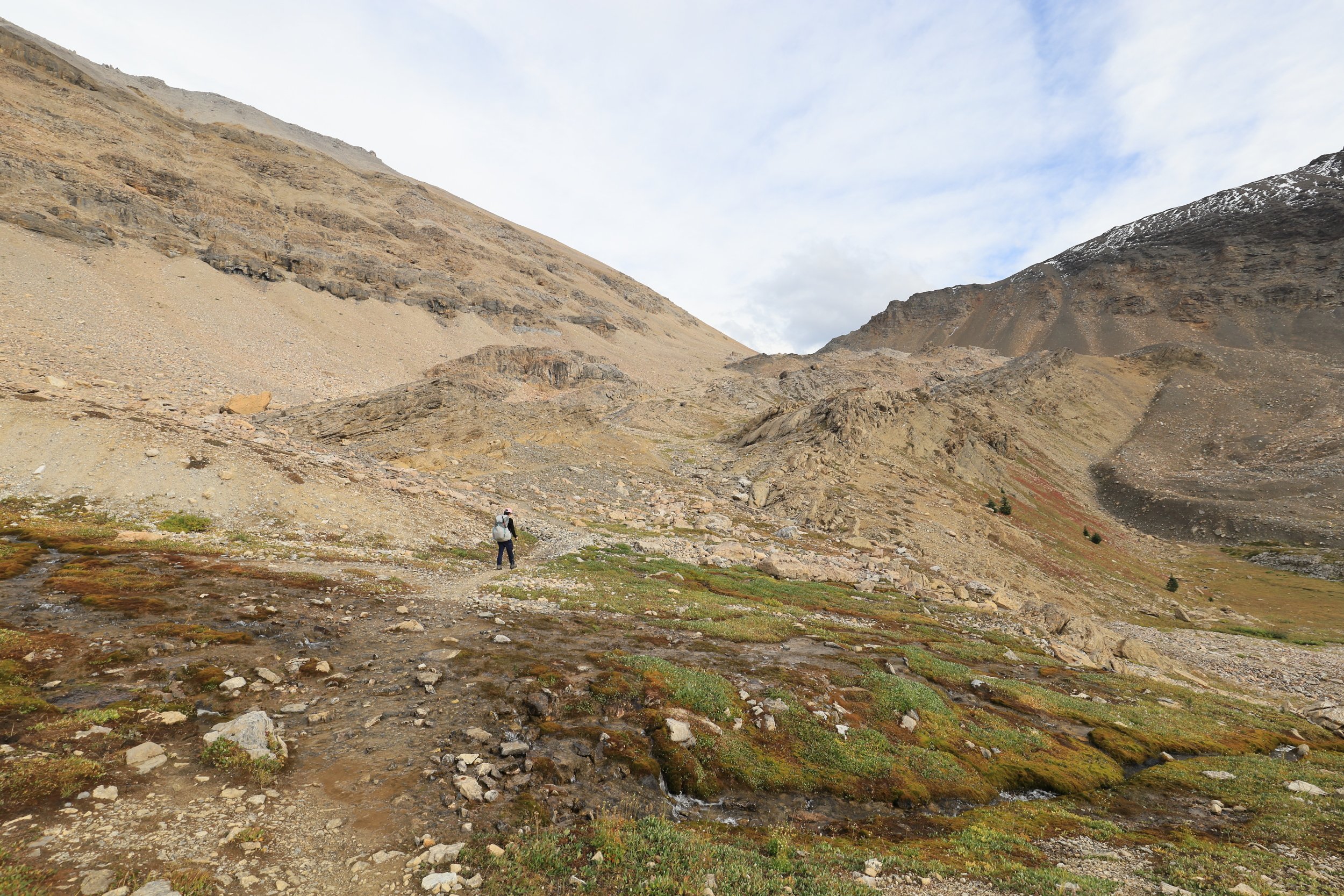
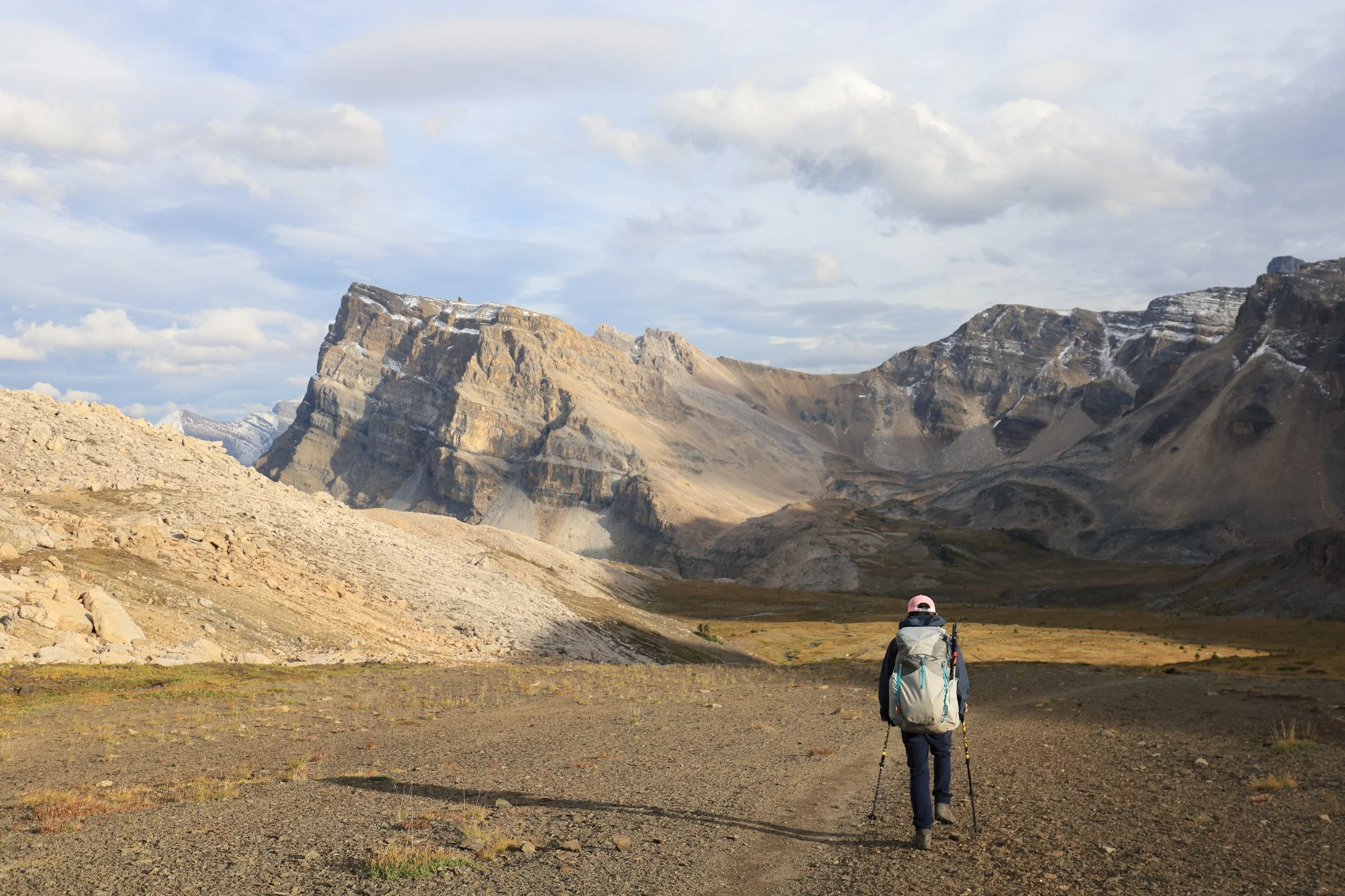
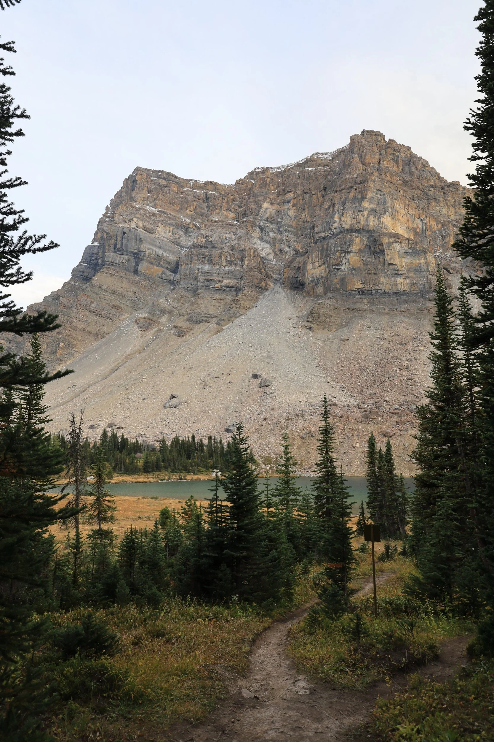
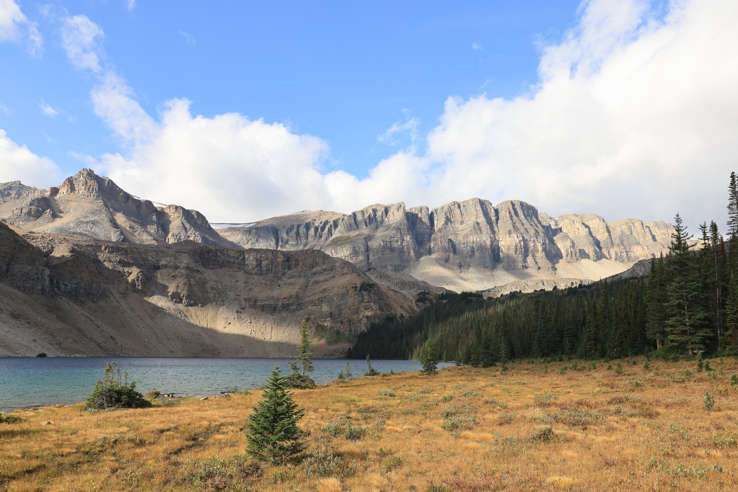
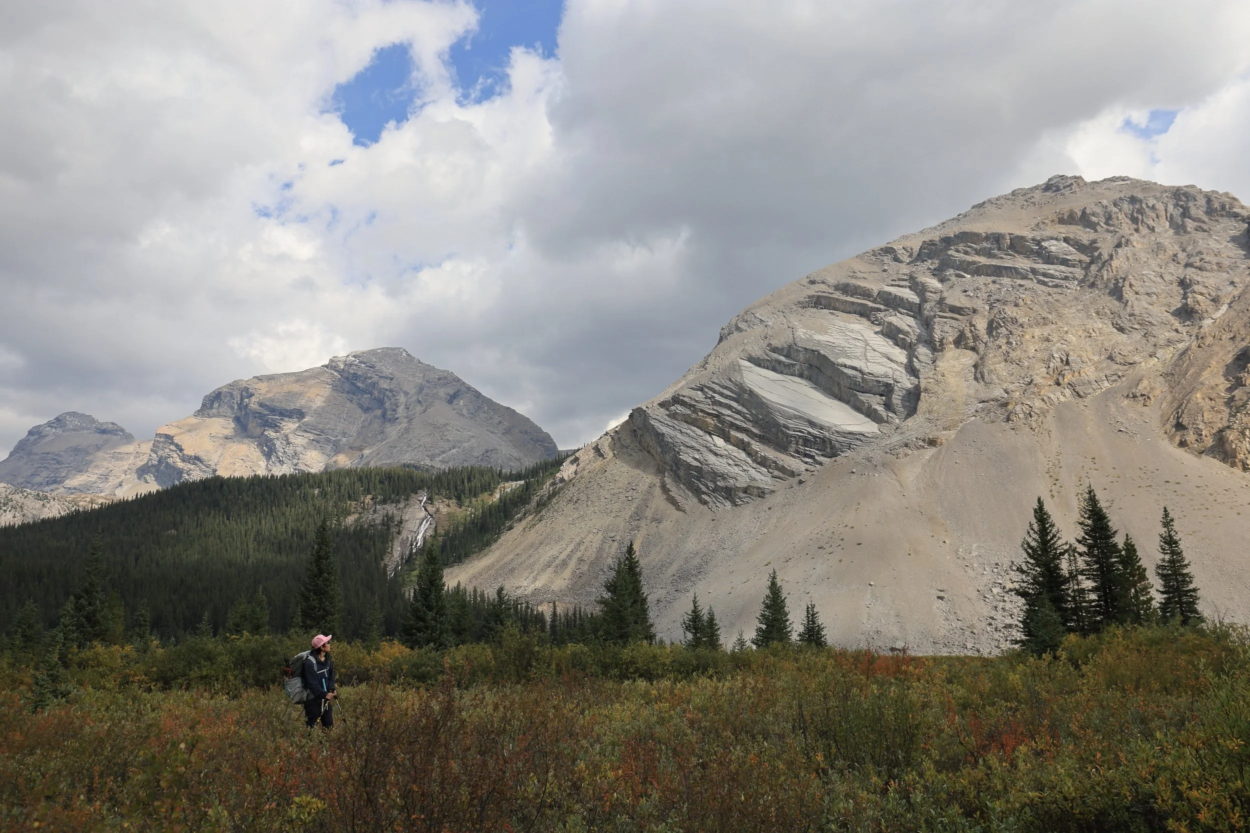
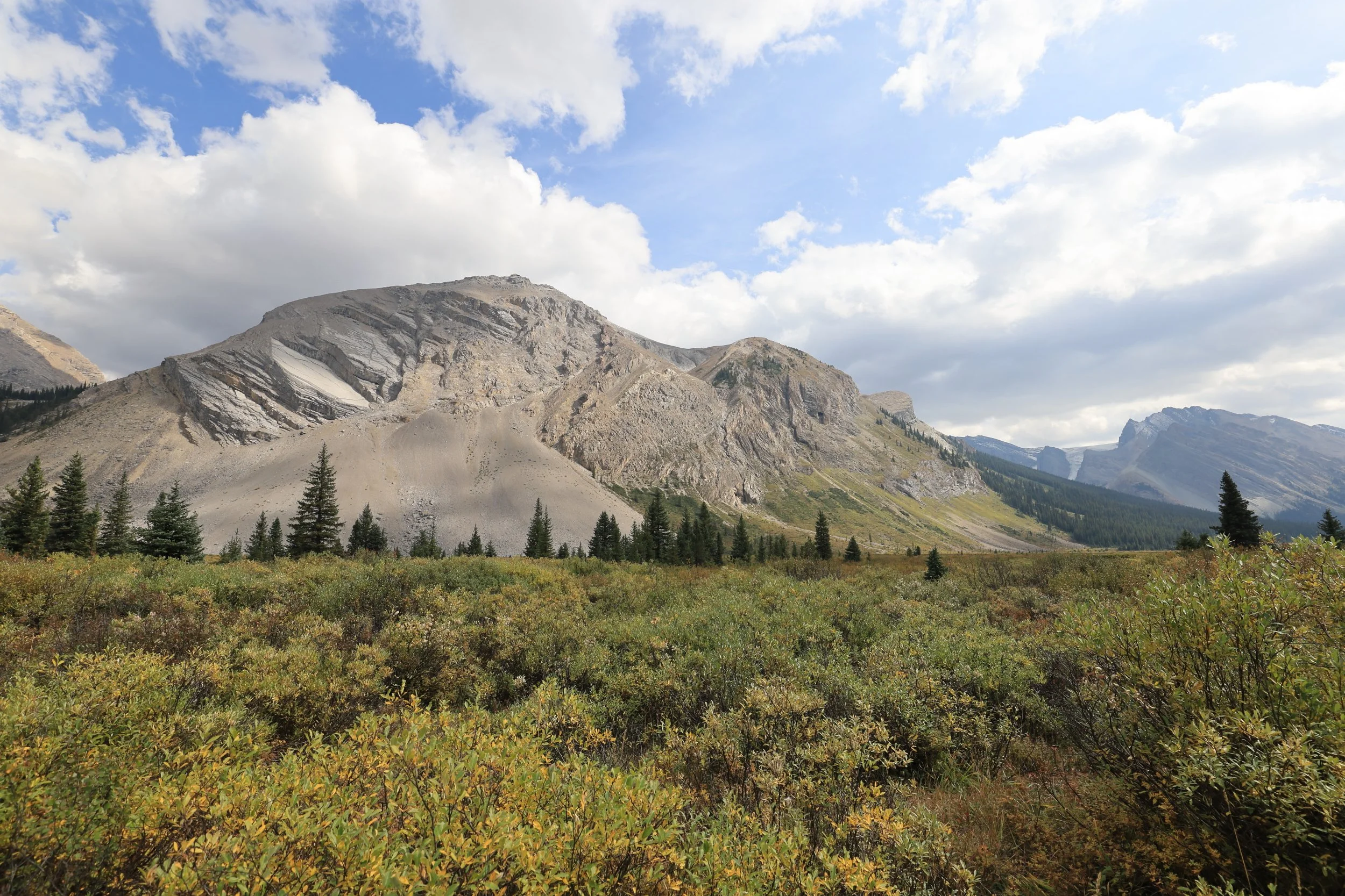
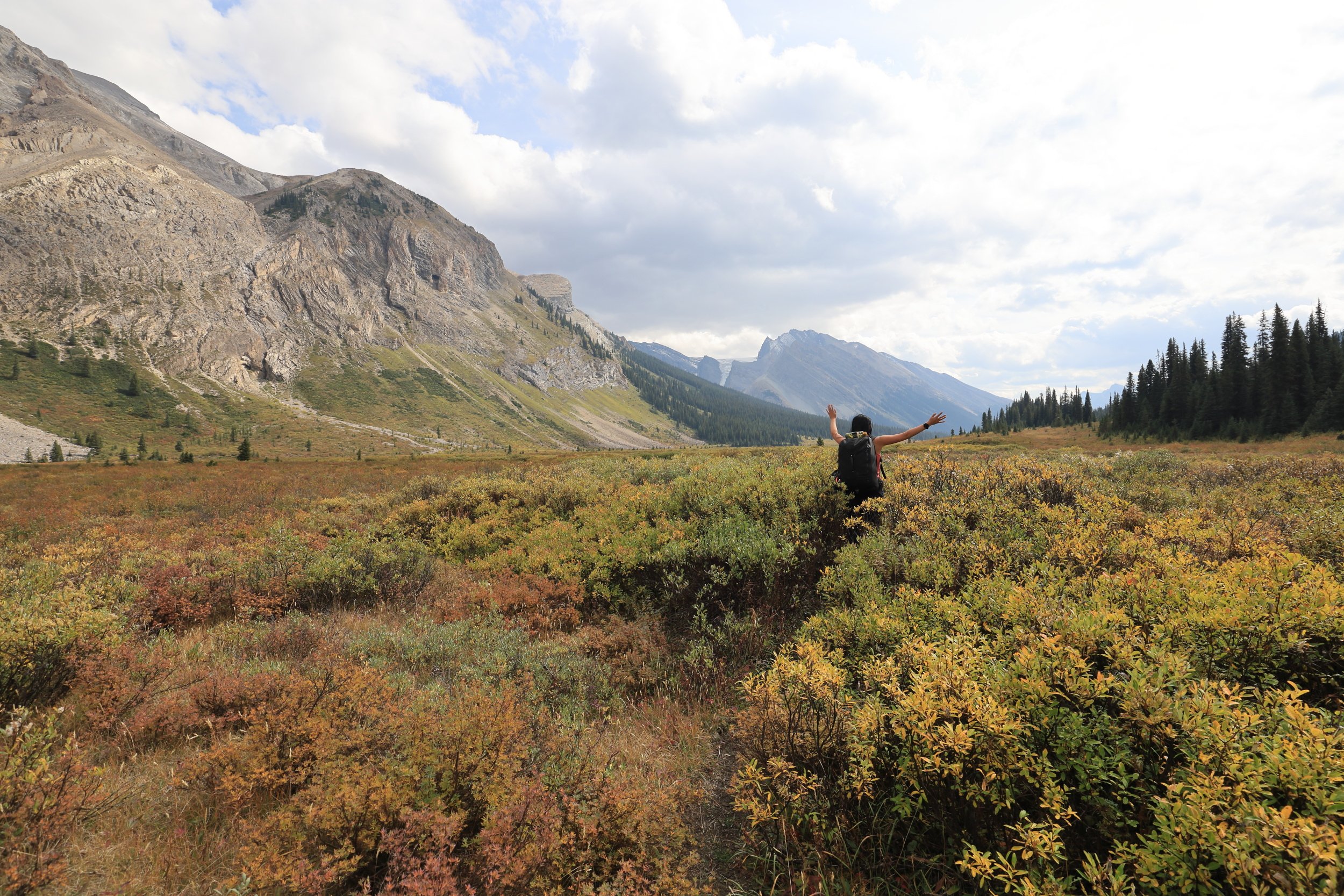
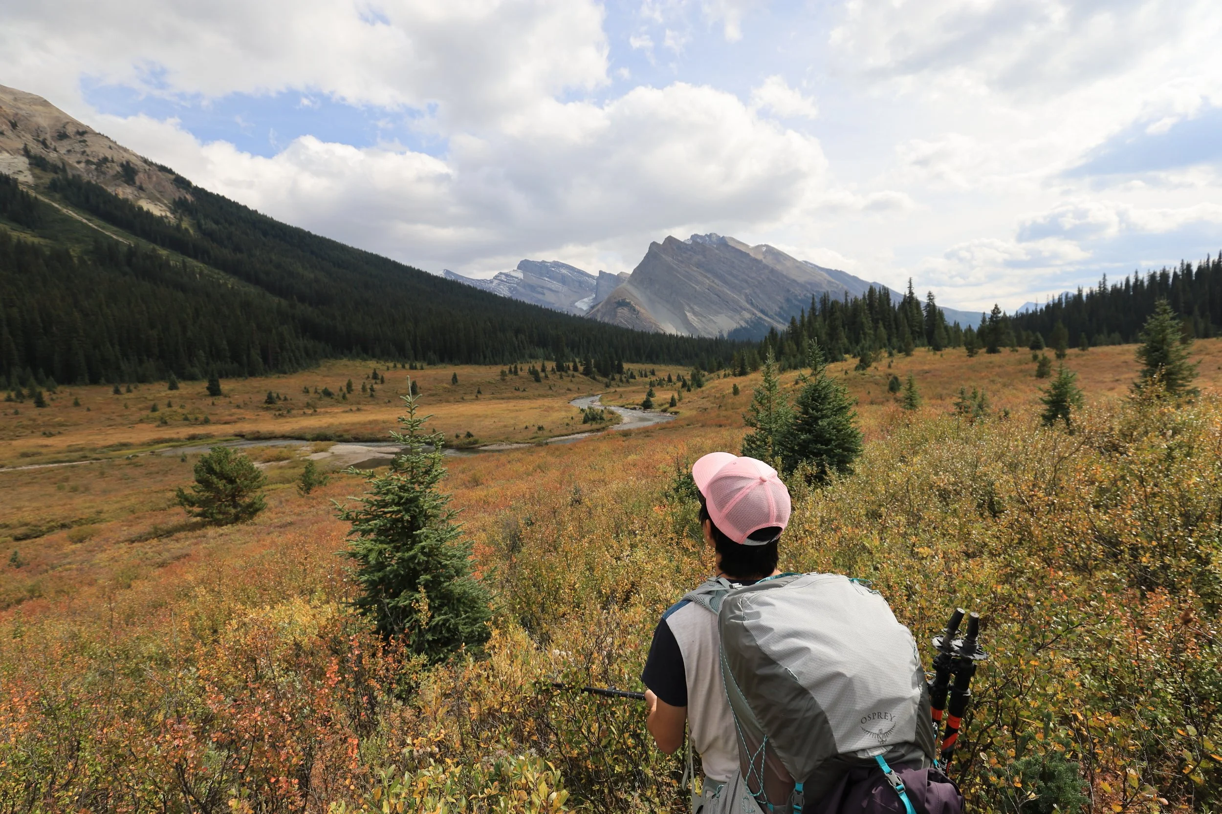
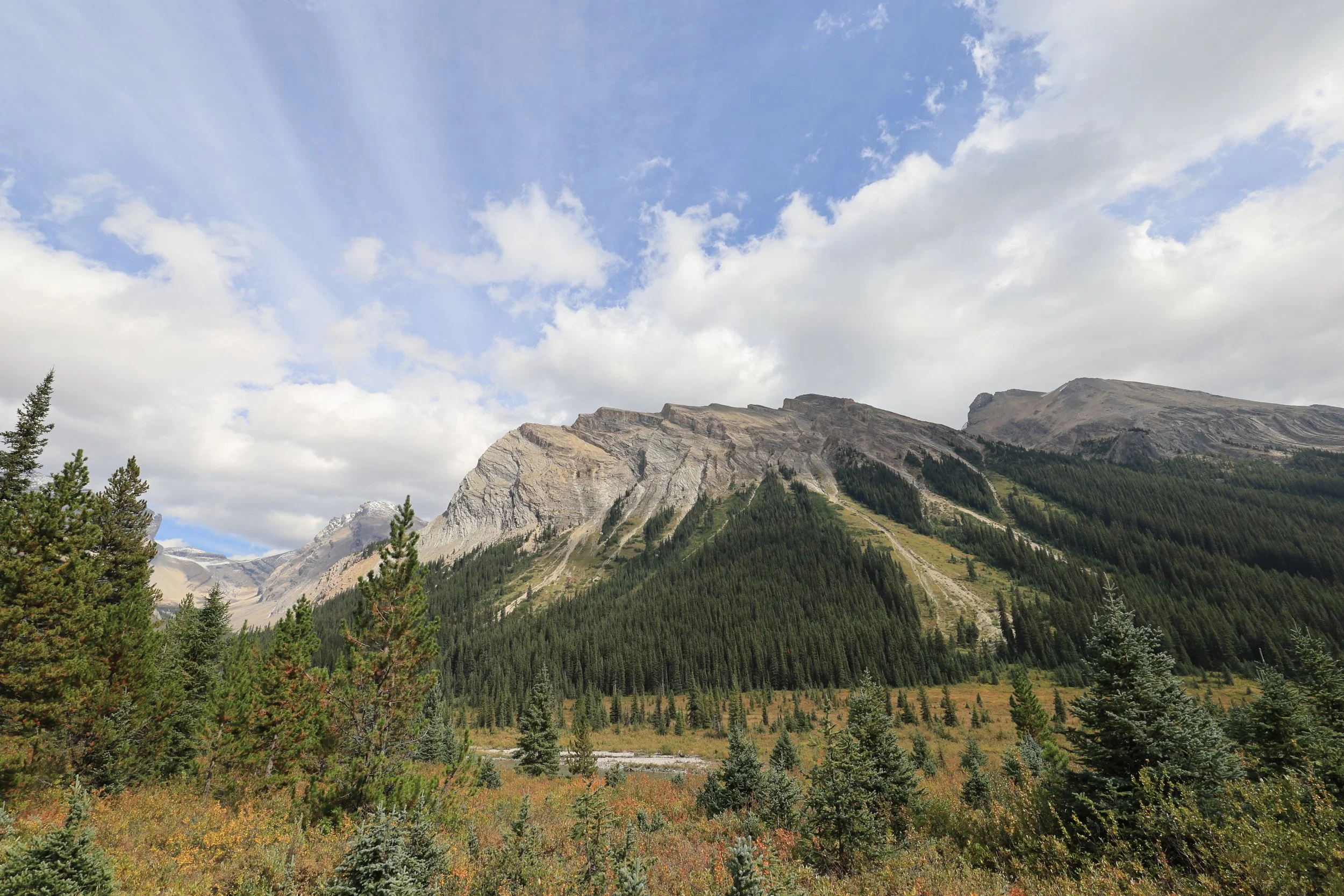
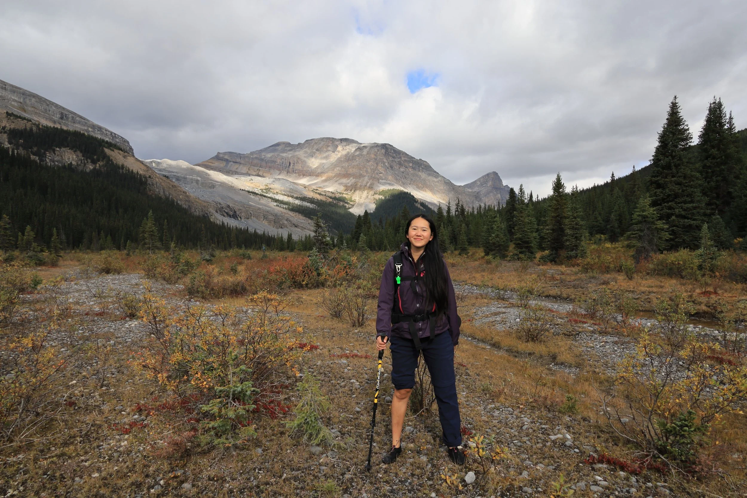
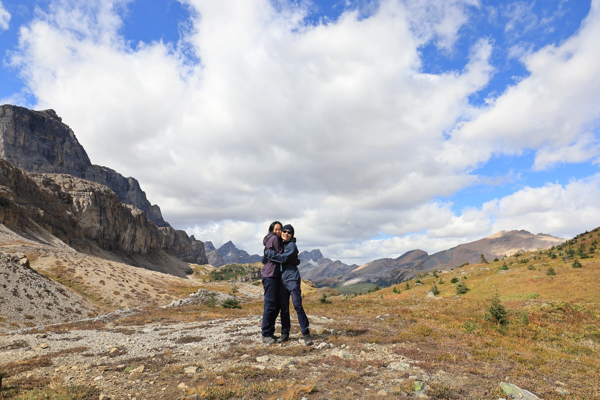
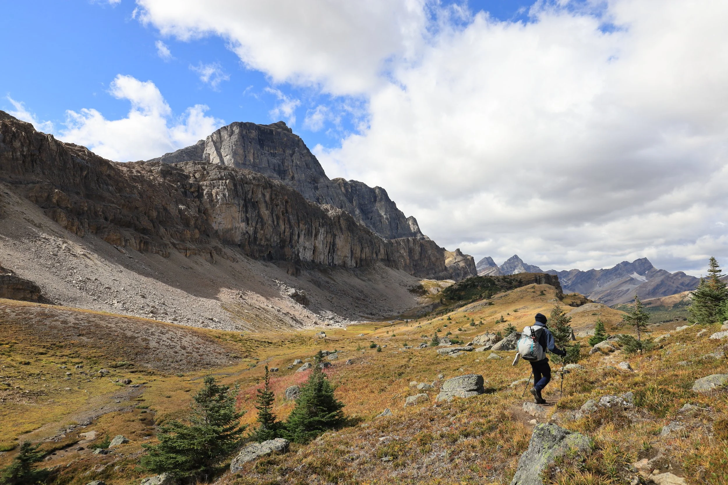
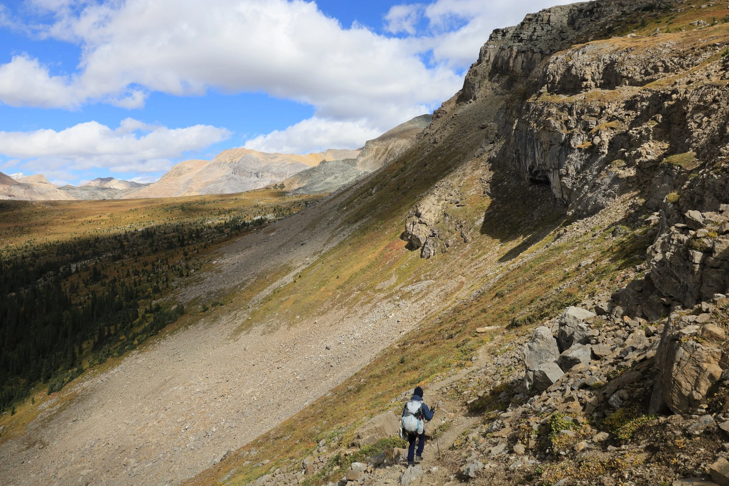
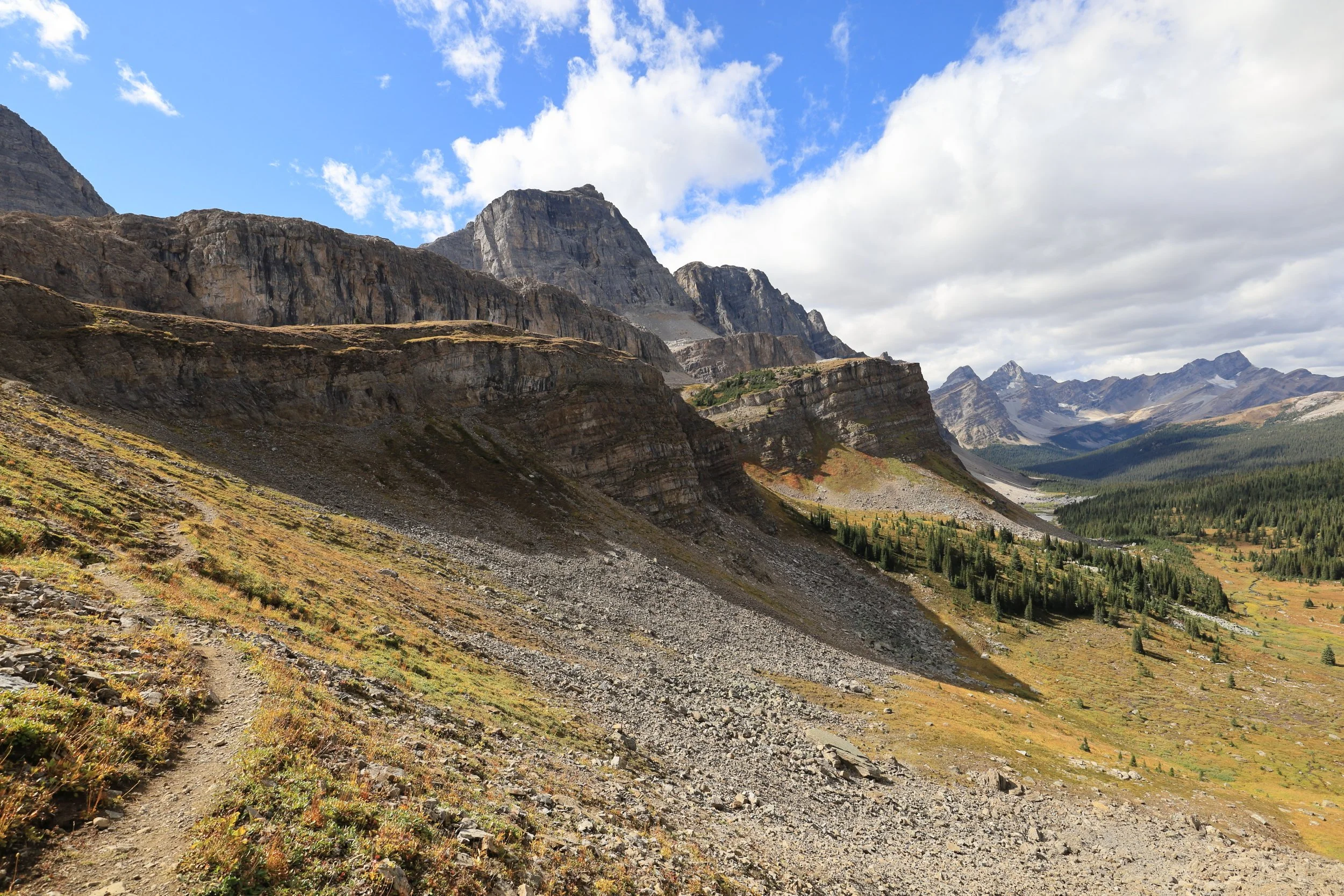
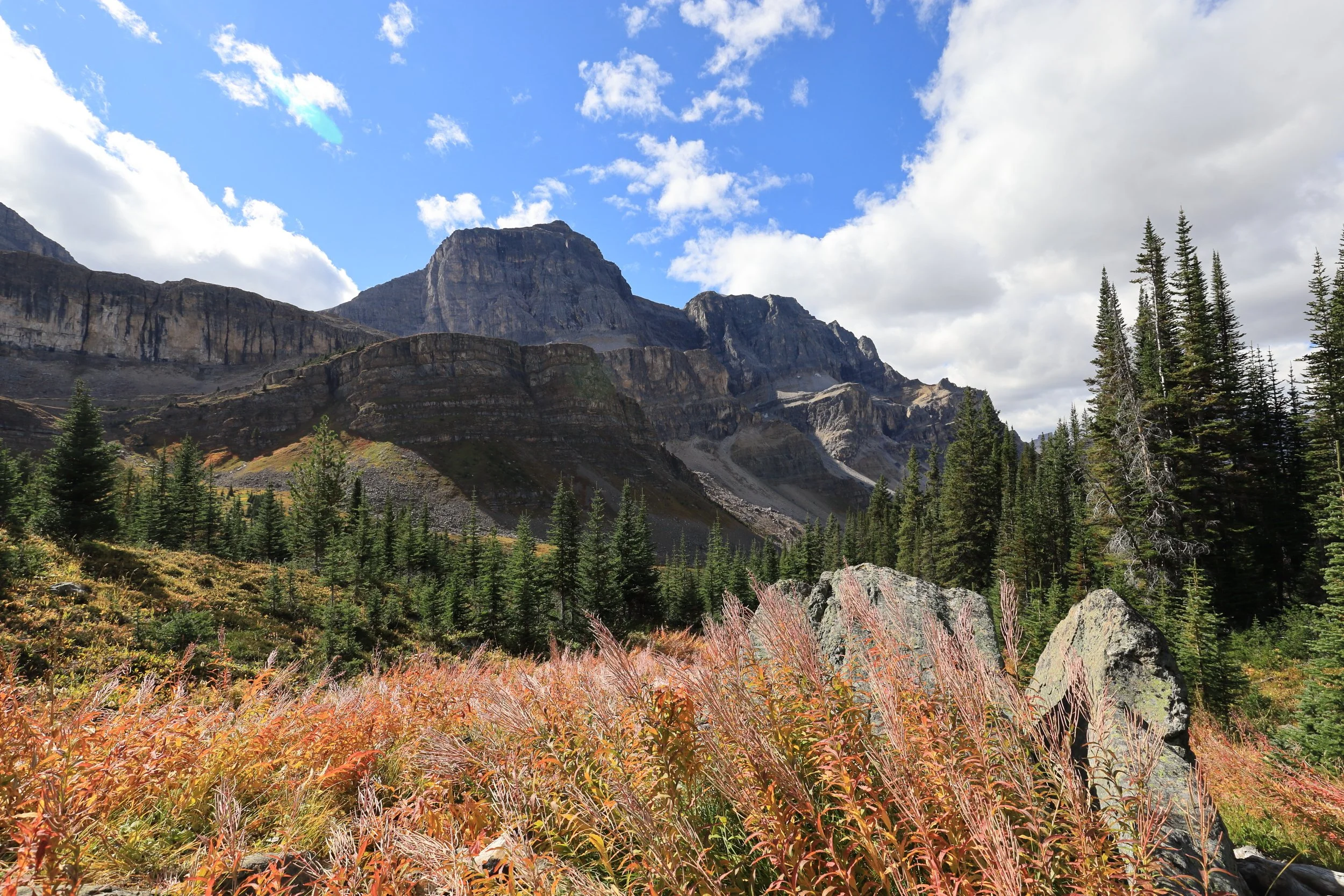
We emerged from the woods at the edge of a steep gully and traced it up to an alpine meadow with spectacular views.
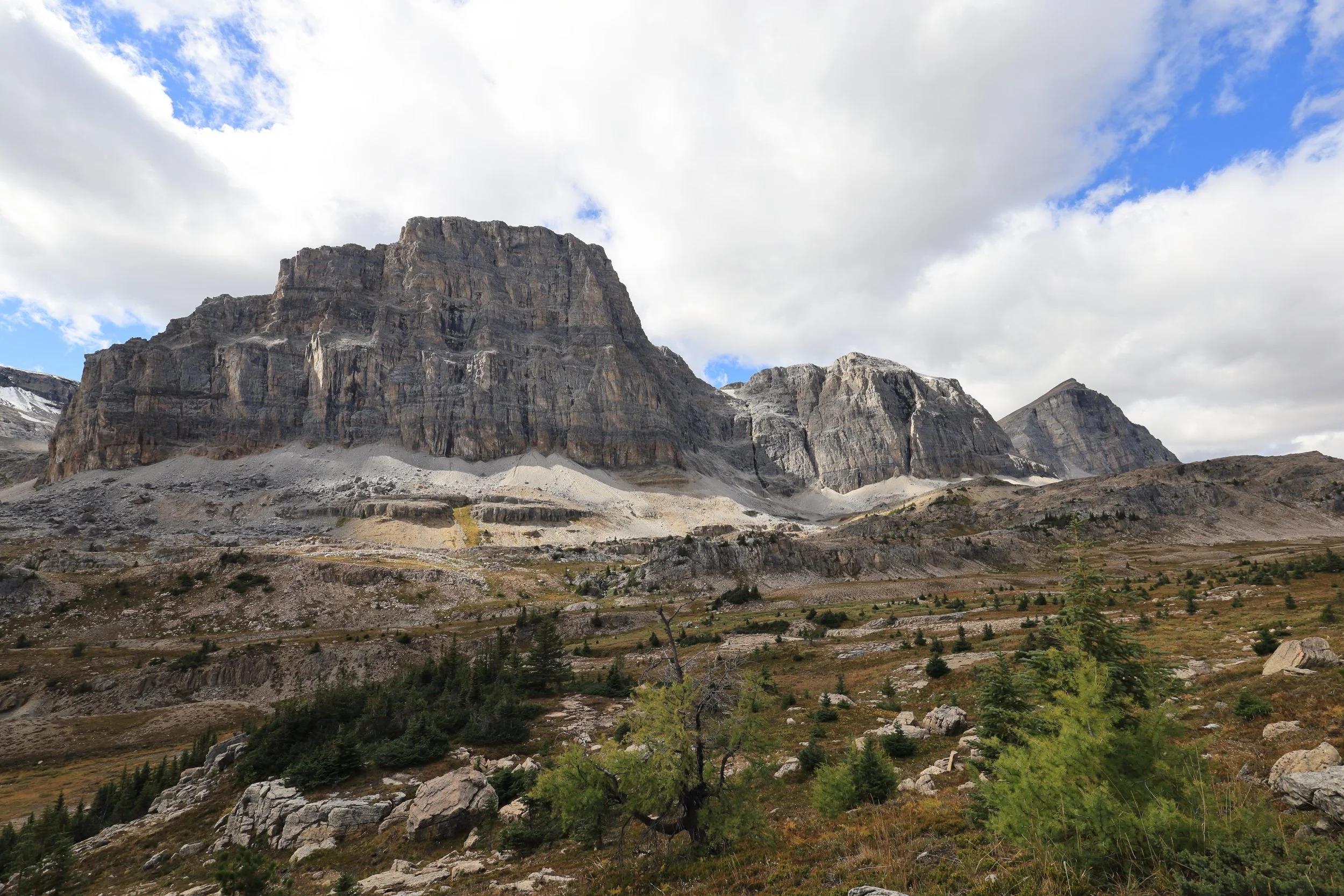
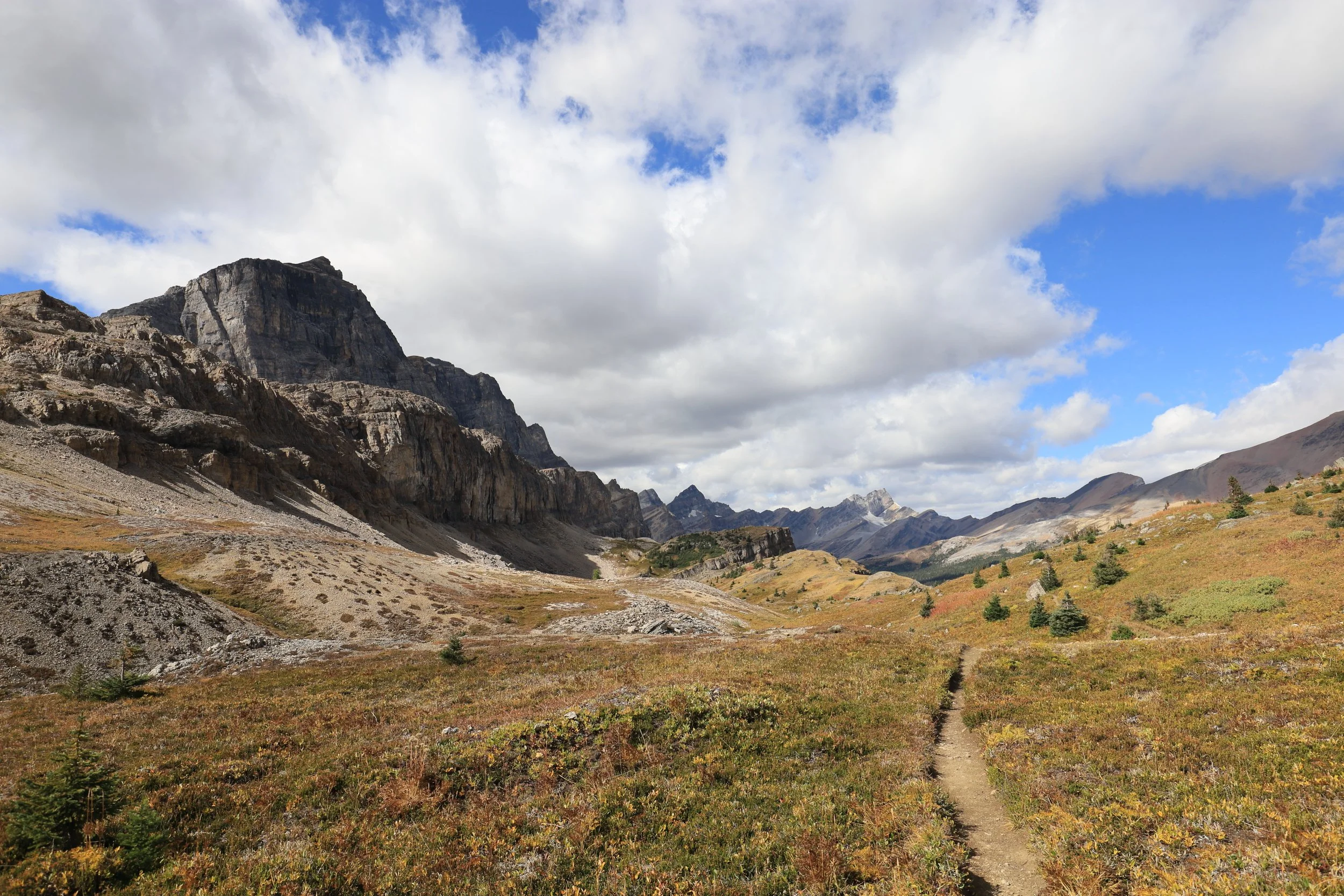
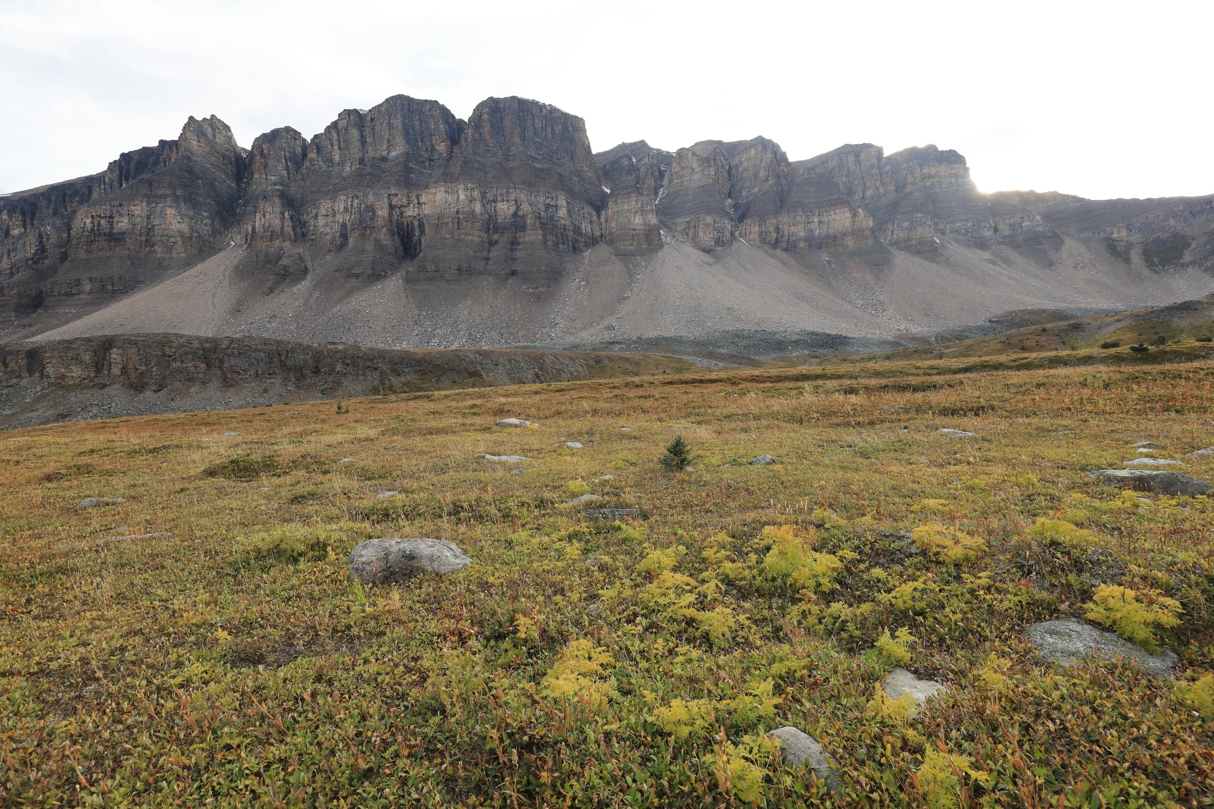
South Molar Pass was even better than North Molar Pass. We stopped noticing any elevation gain because we were too fixated on the stunning golden meadow stretching 360 degrees around us bordered by a long, imposing castellated rock formation.
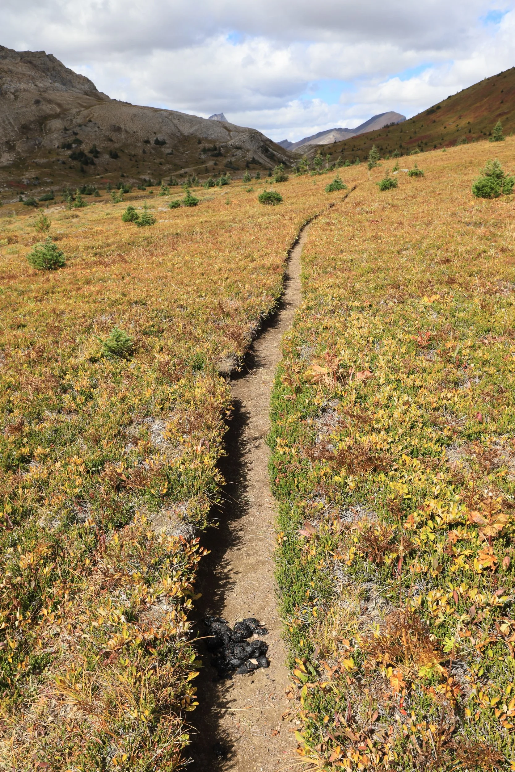
Almost stepped on bear scat! I really hope we catch up to our furry friend, but the chances are low because bears move really fast and there wasn’t much food for them up here.
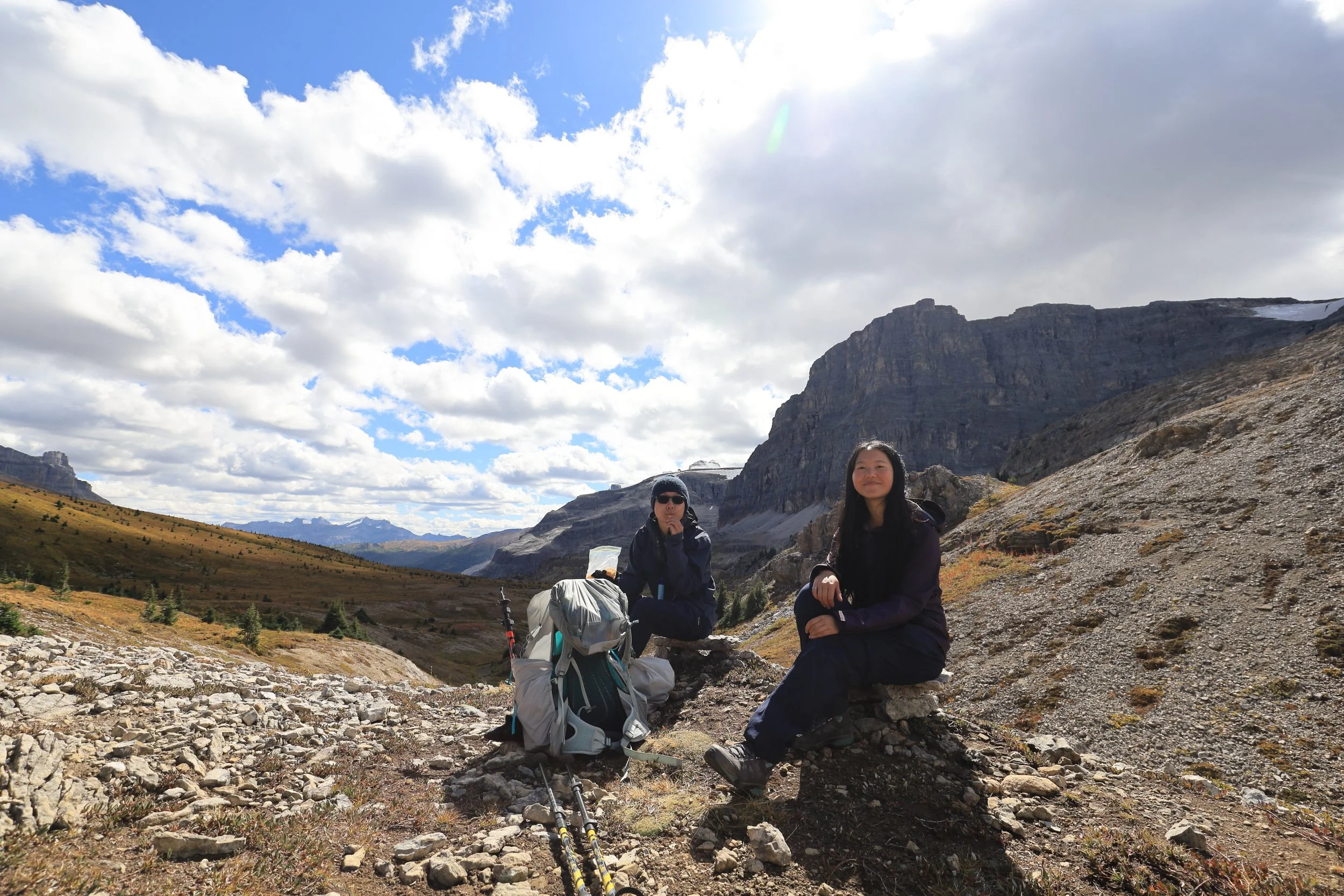
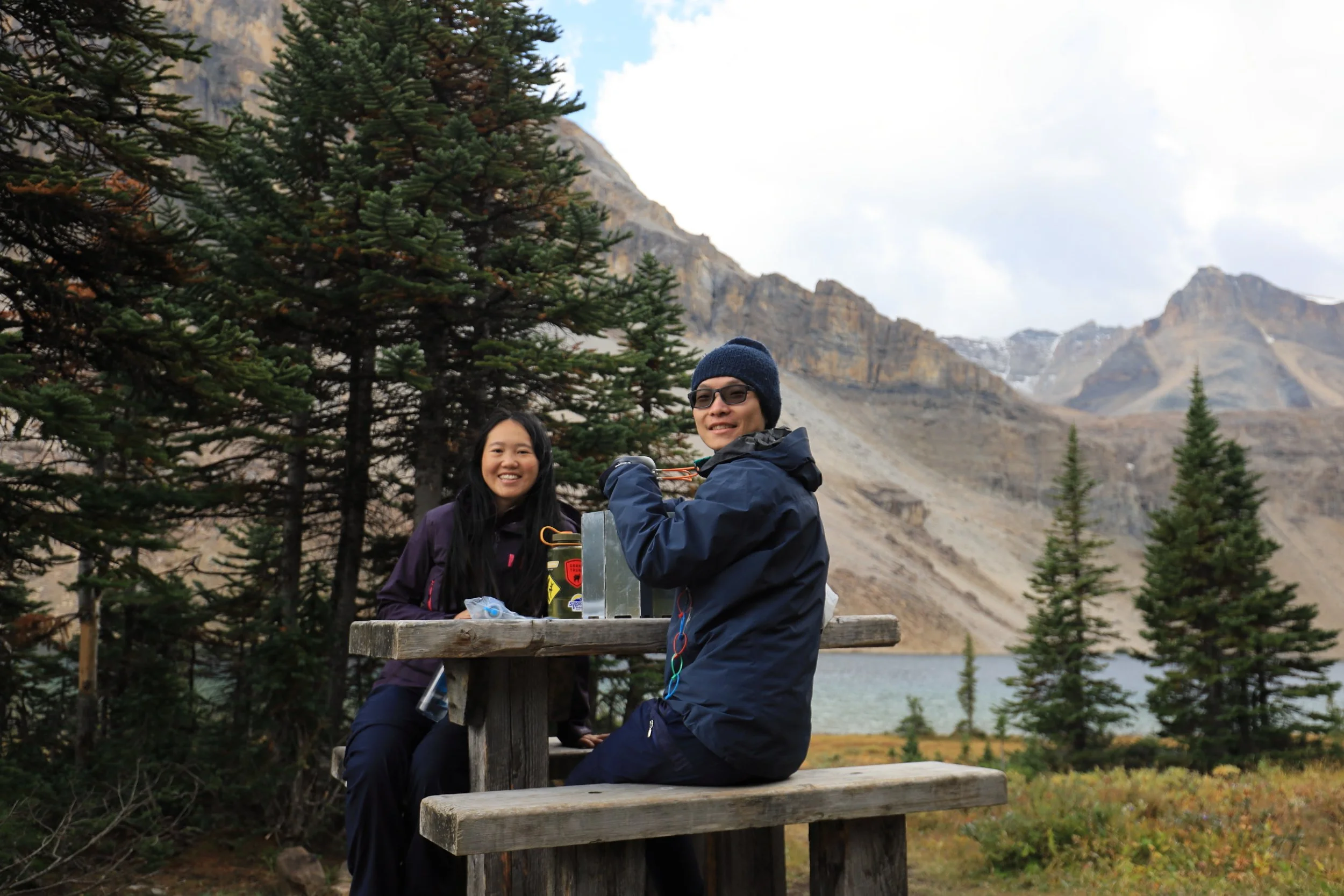
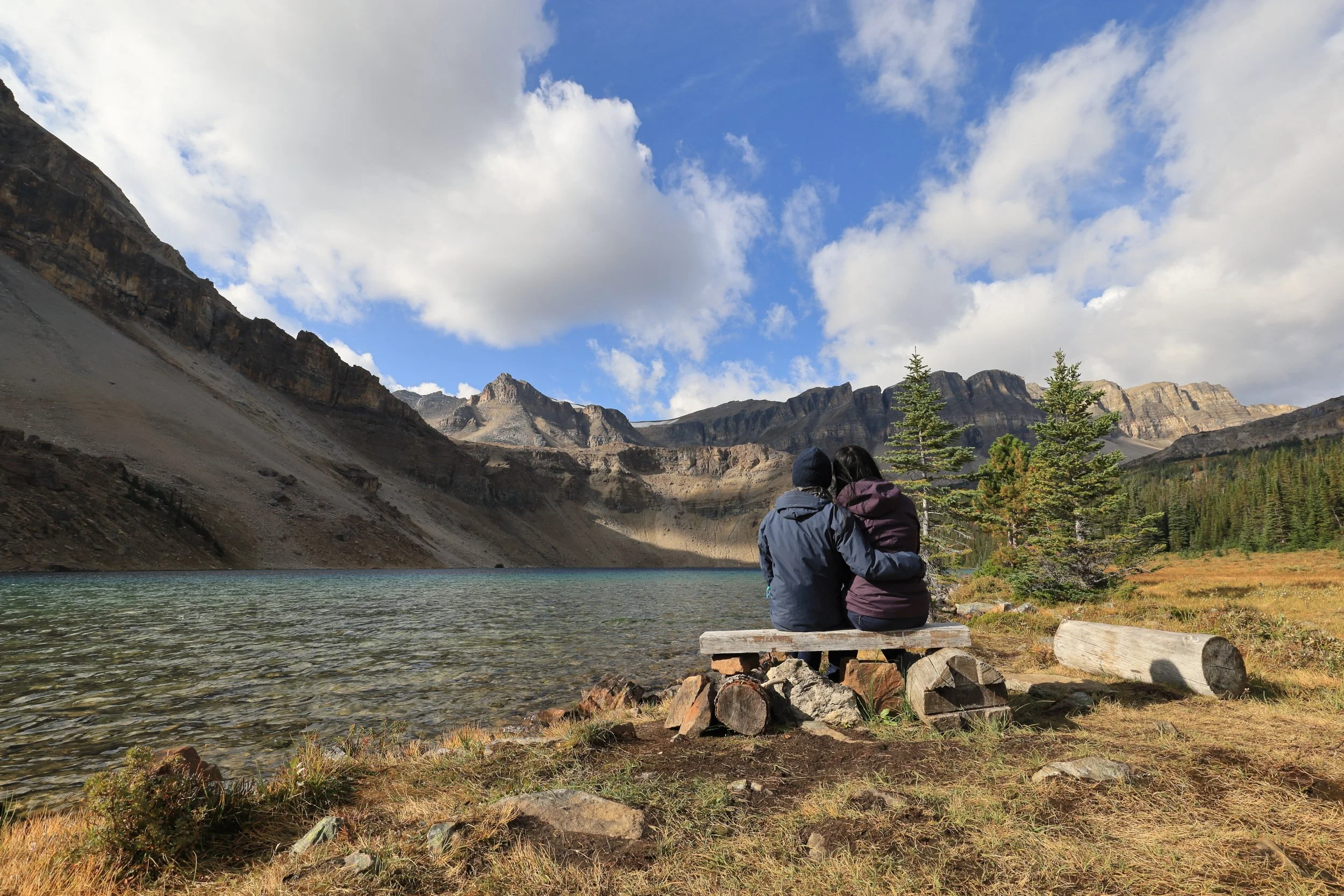
On the other hand, we found a perfect spot for lunch. Somebody stacked two little rock benches at a crest in the road.
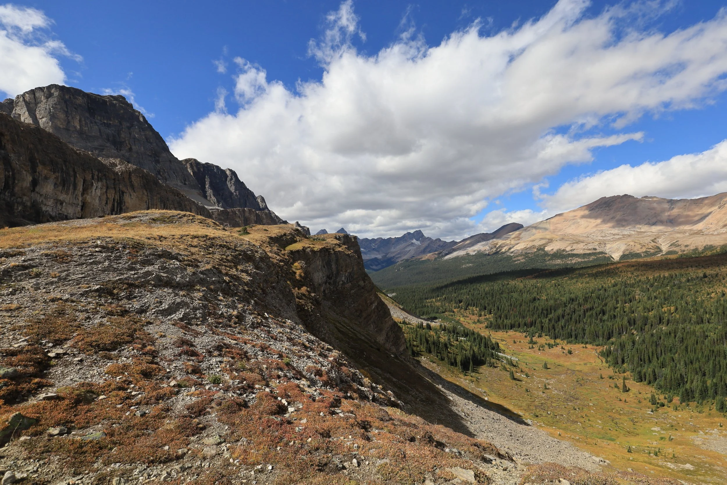
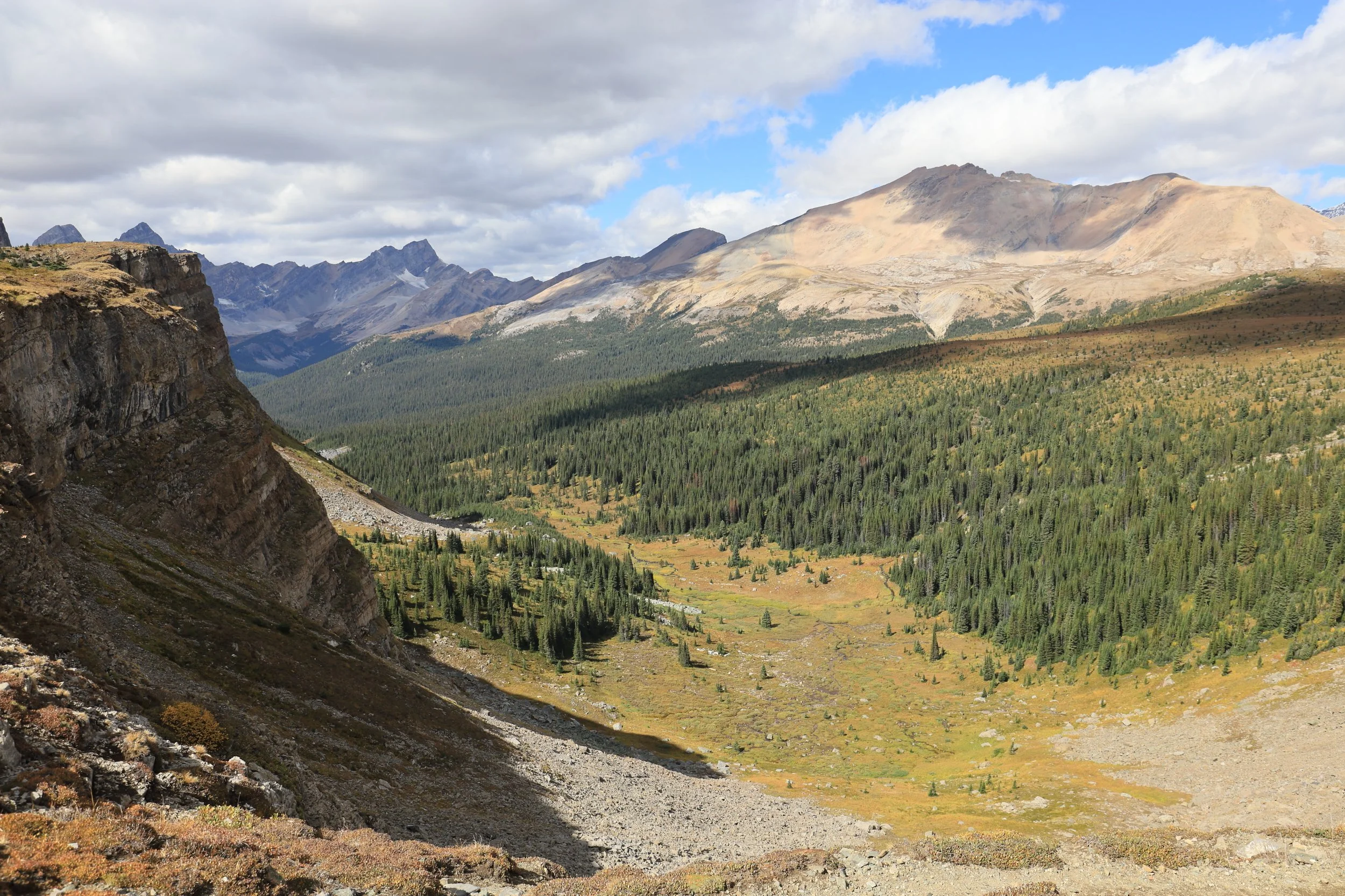
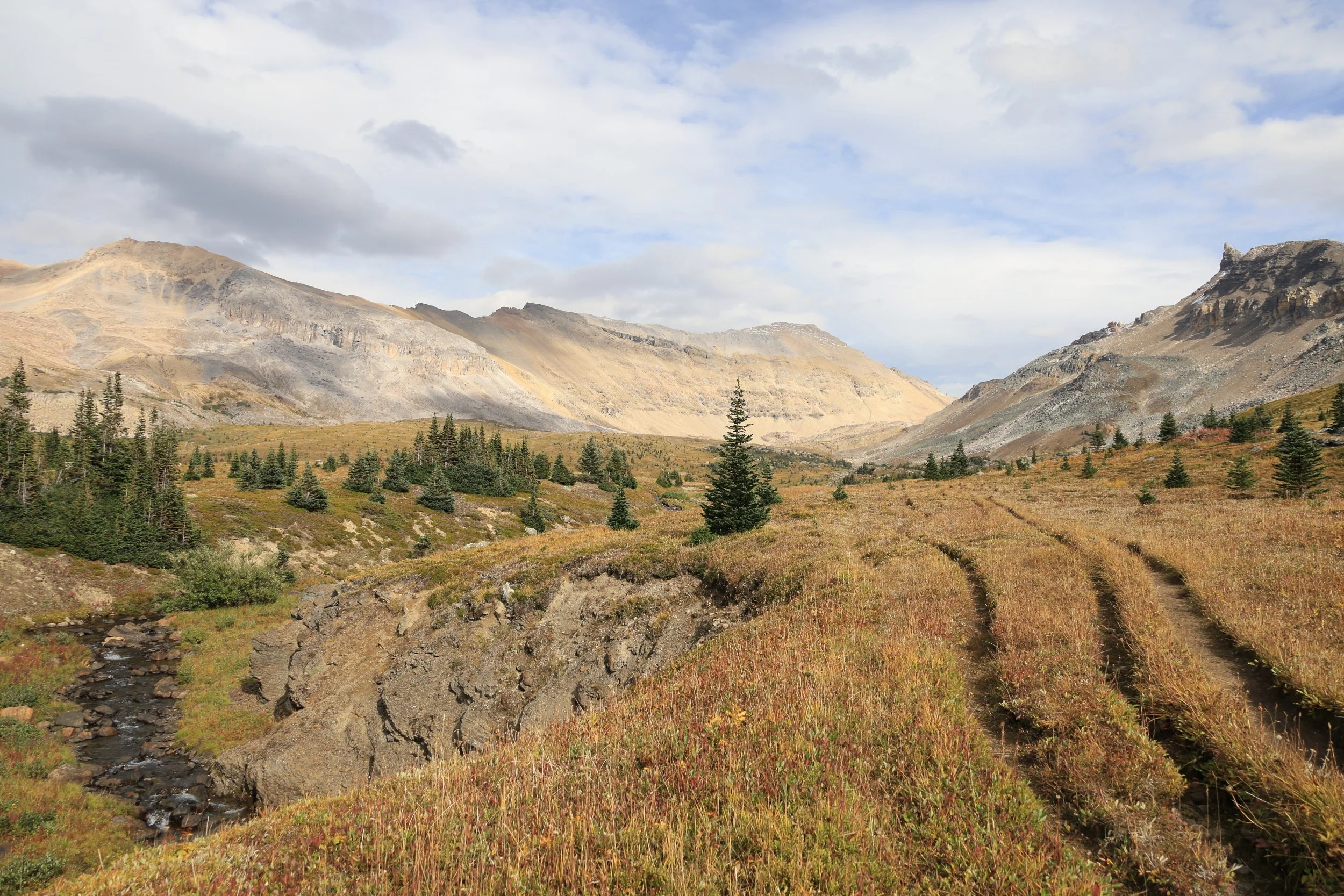
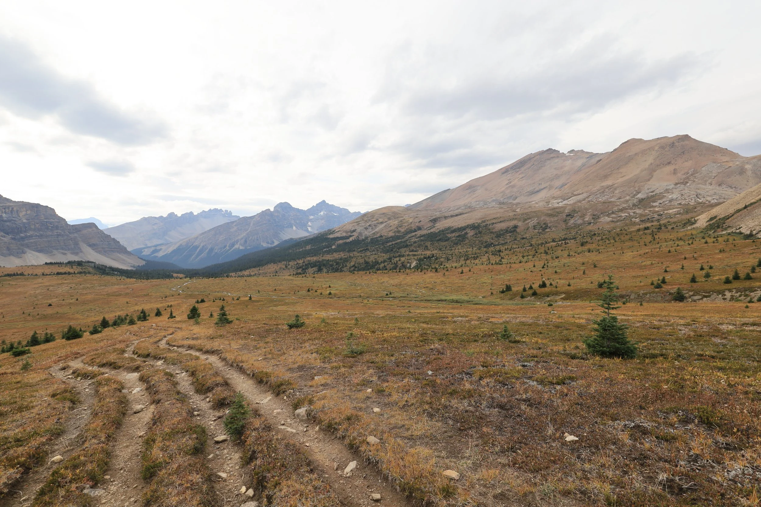
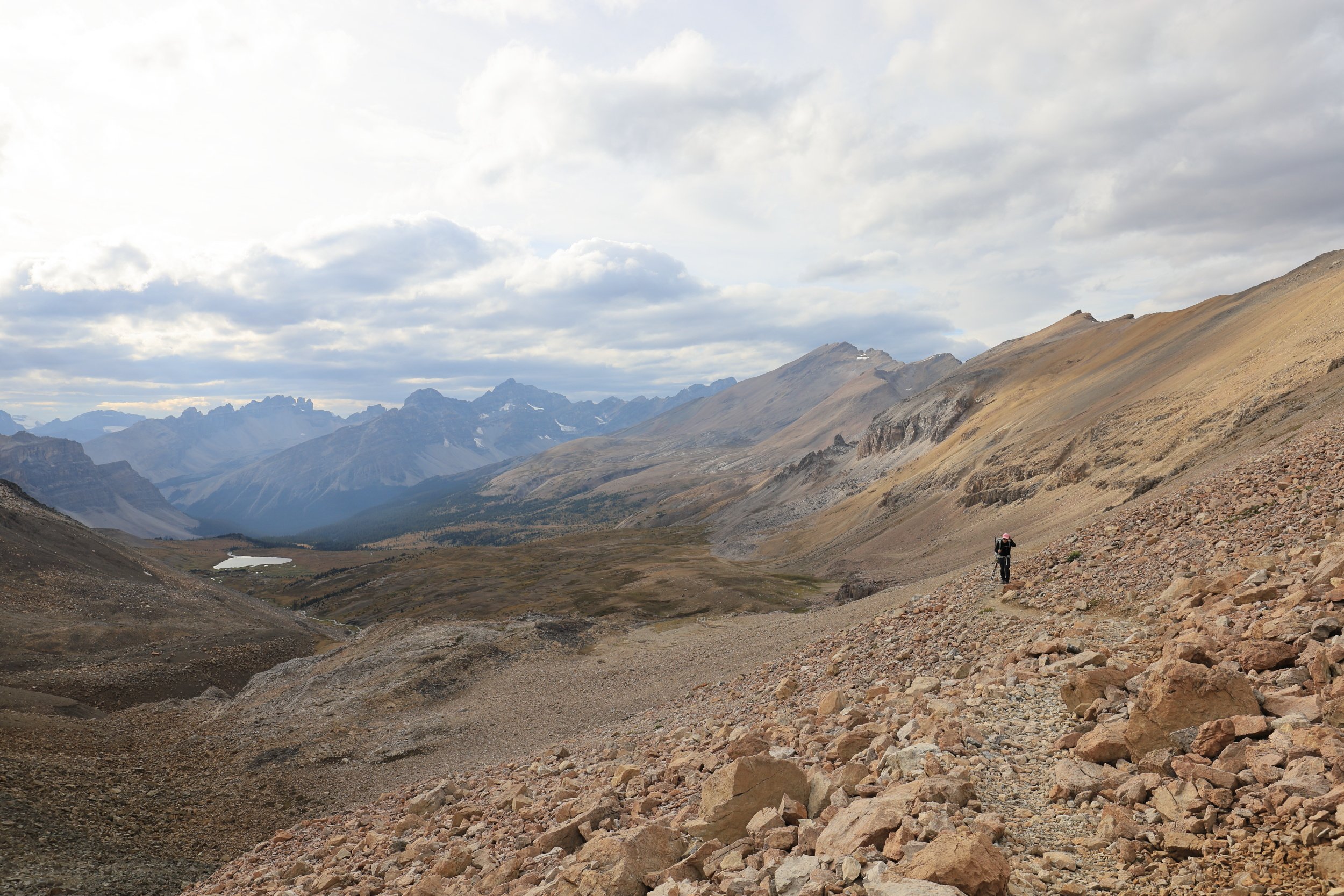
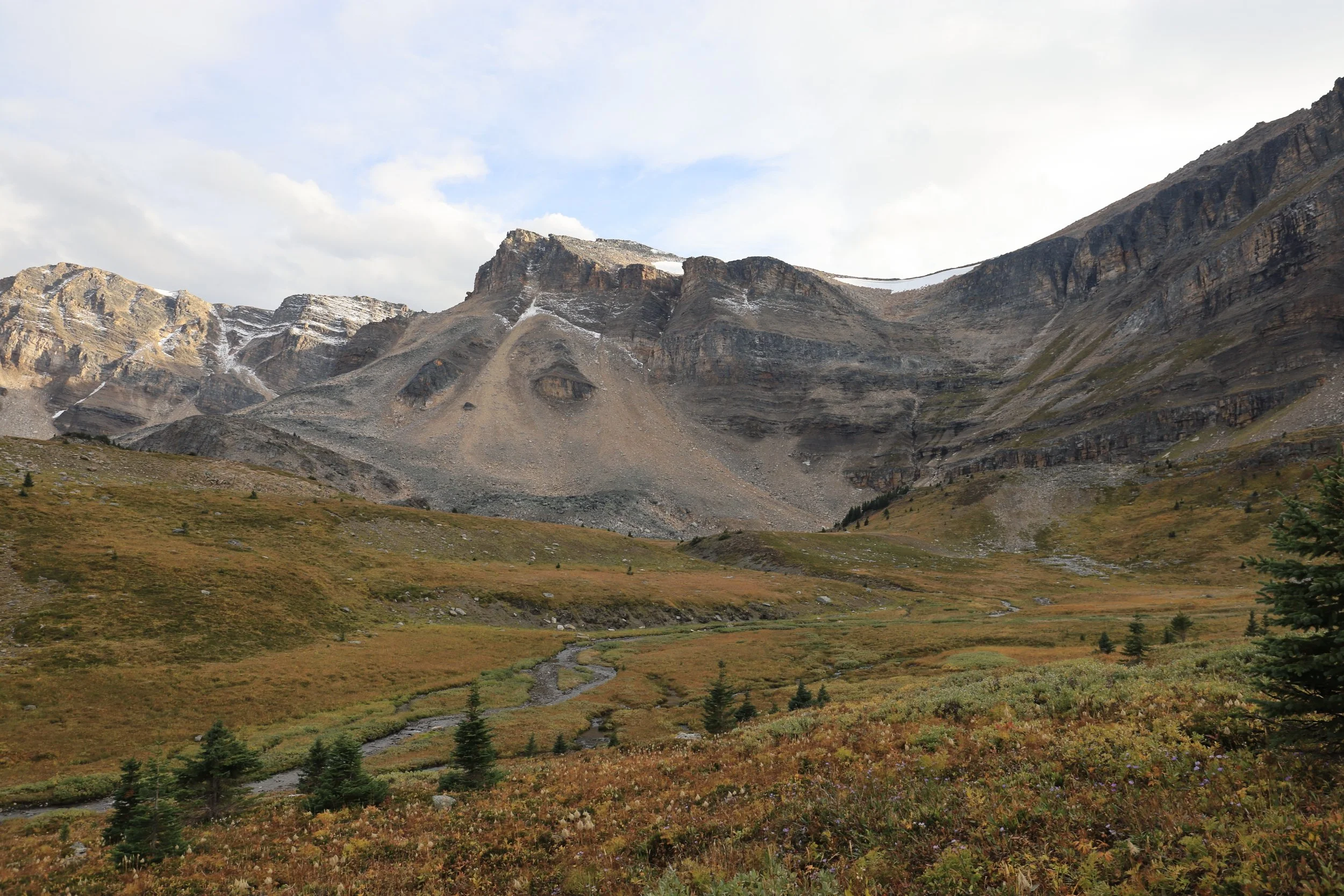
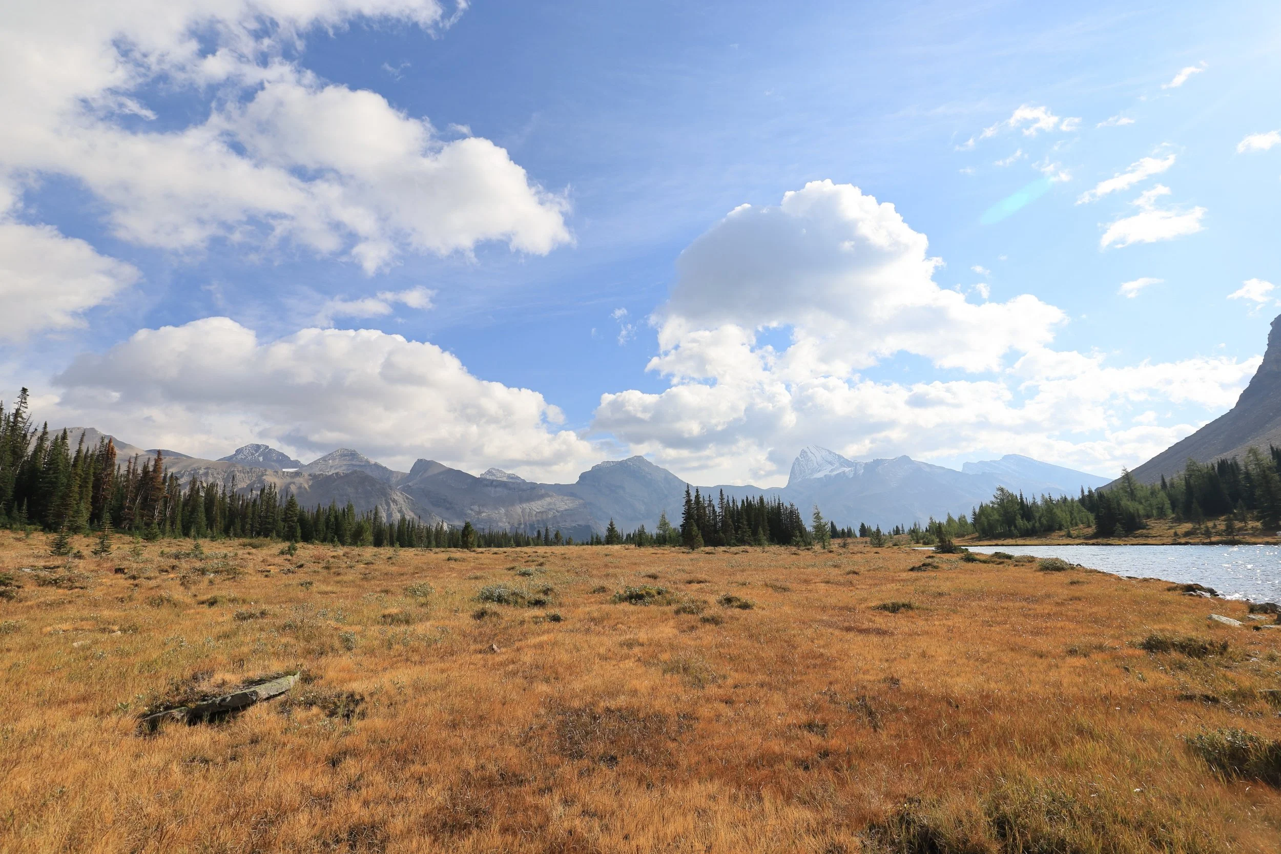
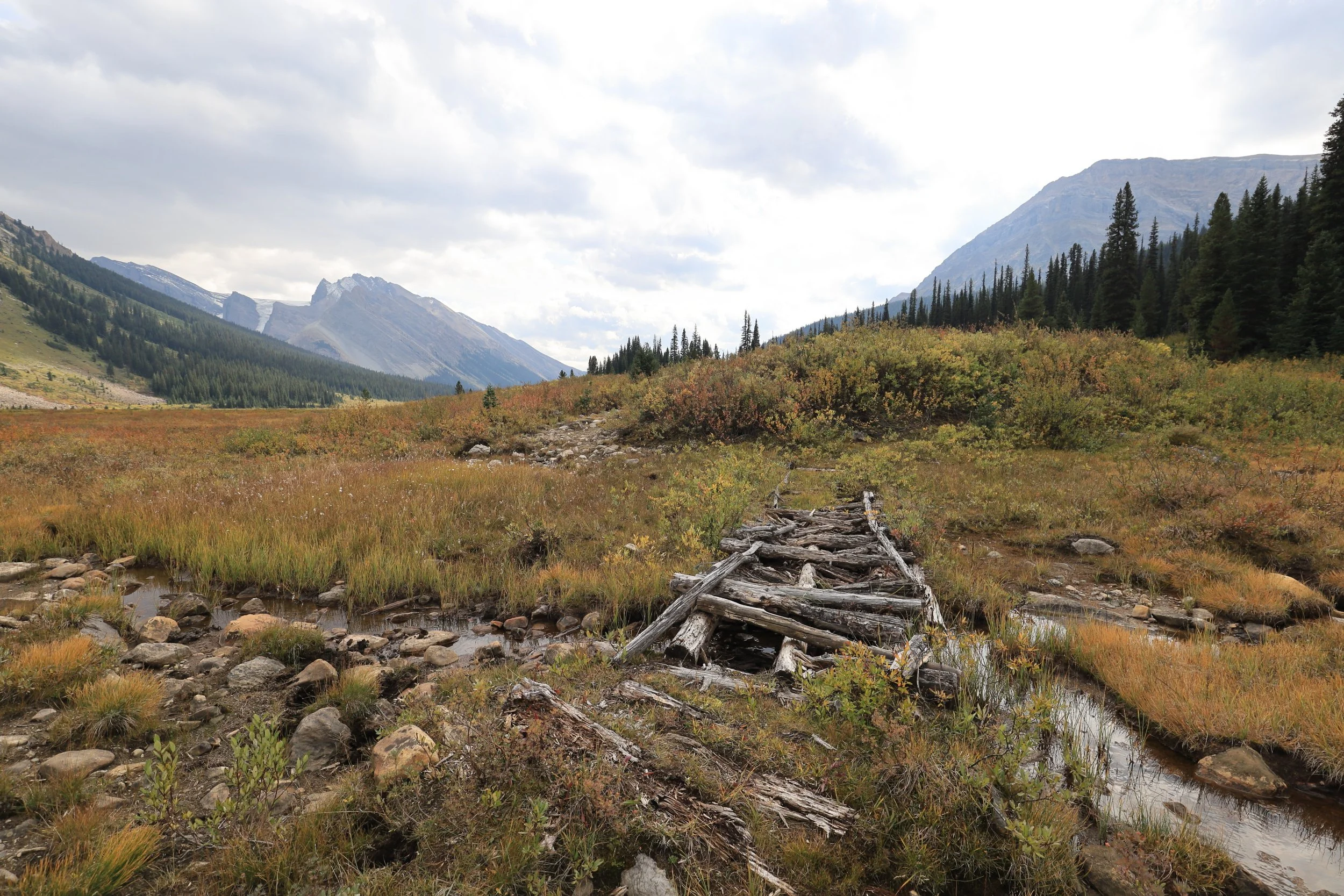
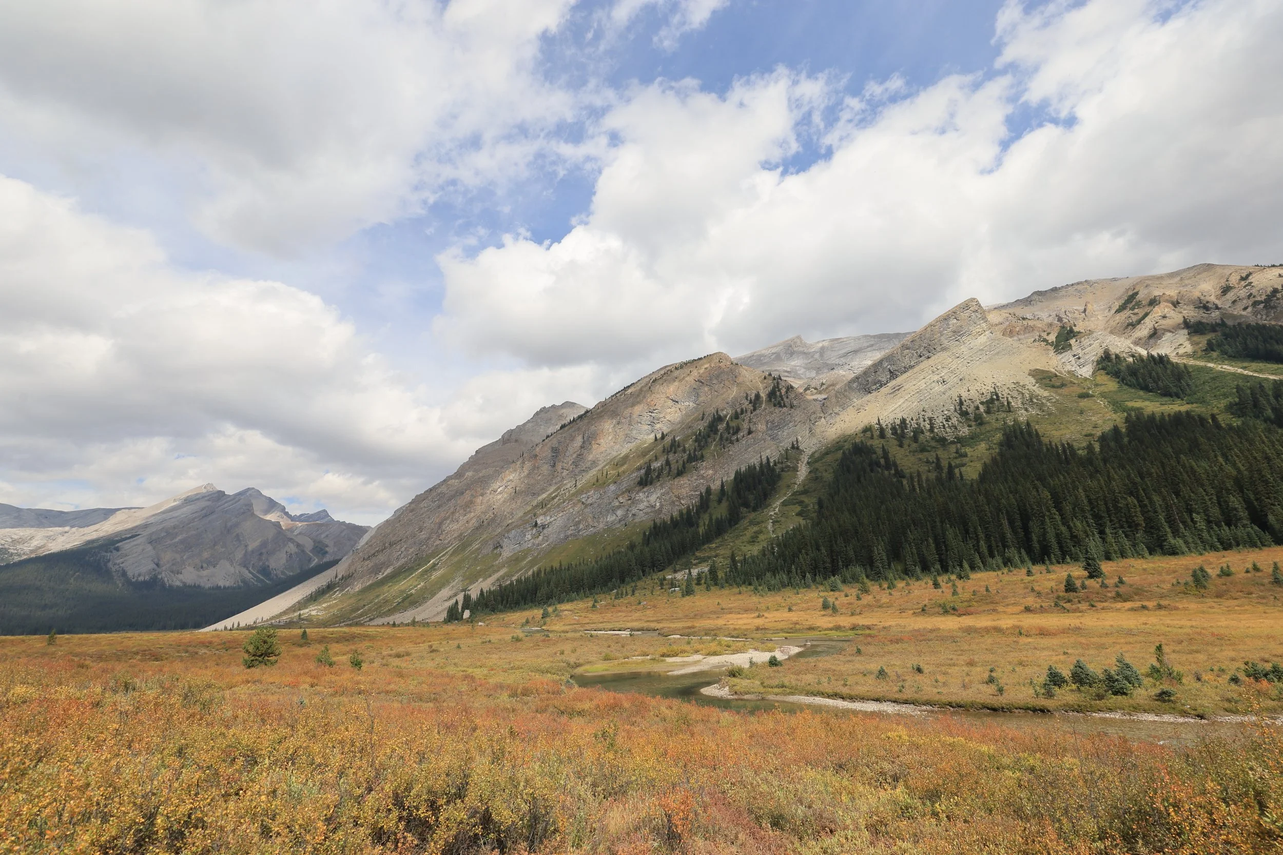
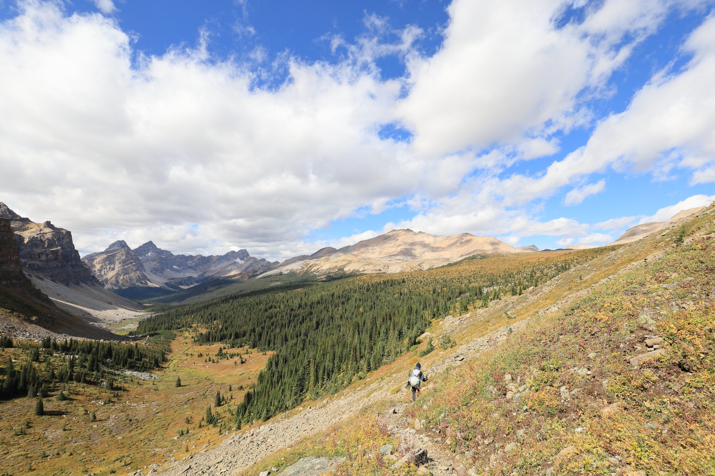
We didn’t realize we were sitting so close to the true South Molar Pass. A few minutes later, the Mosquito Creek valley we travelled 2 days ago peered over the horizon.
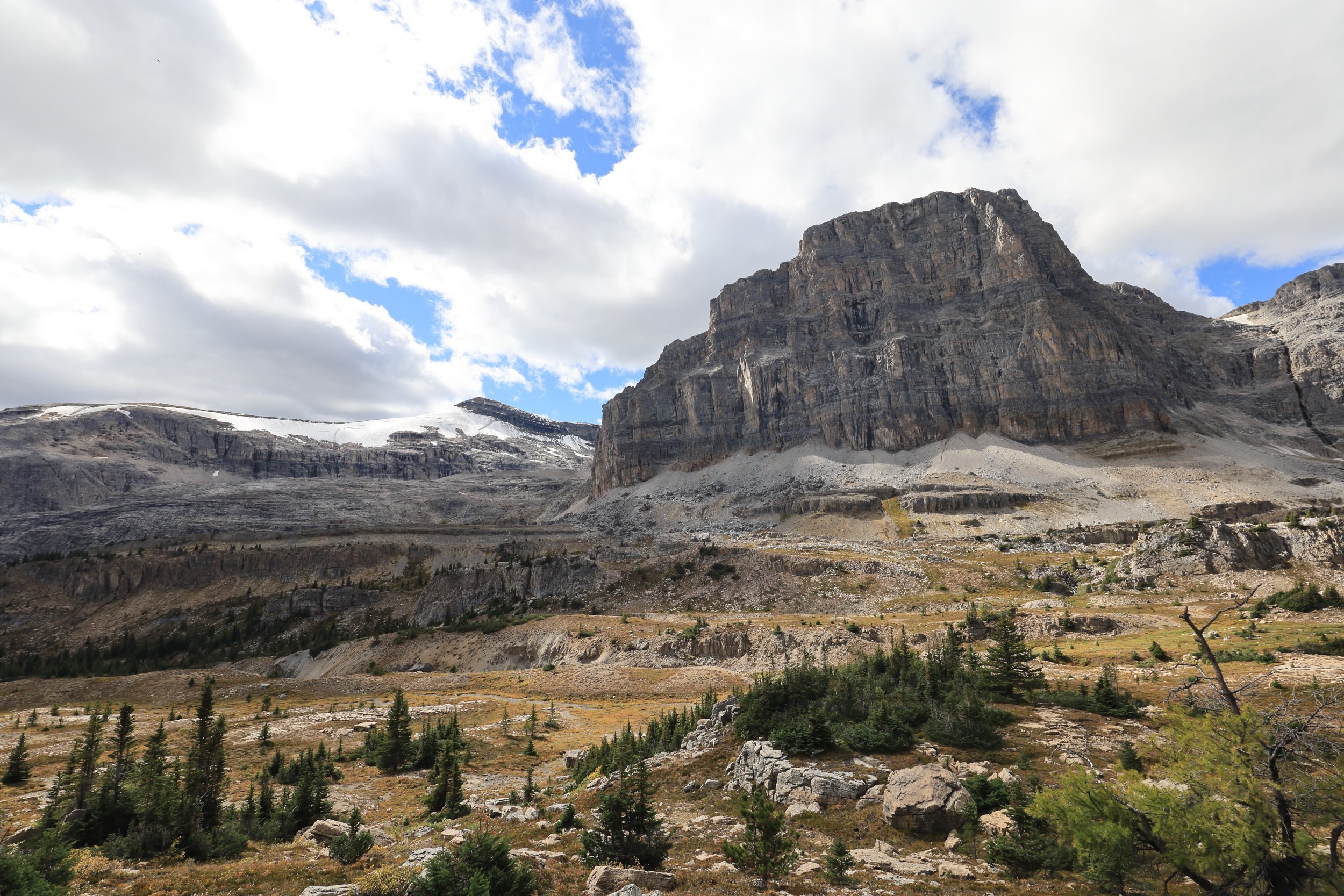
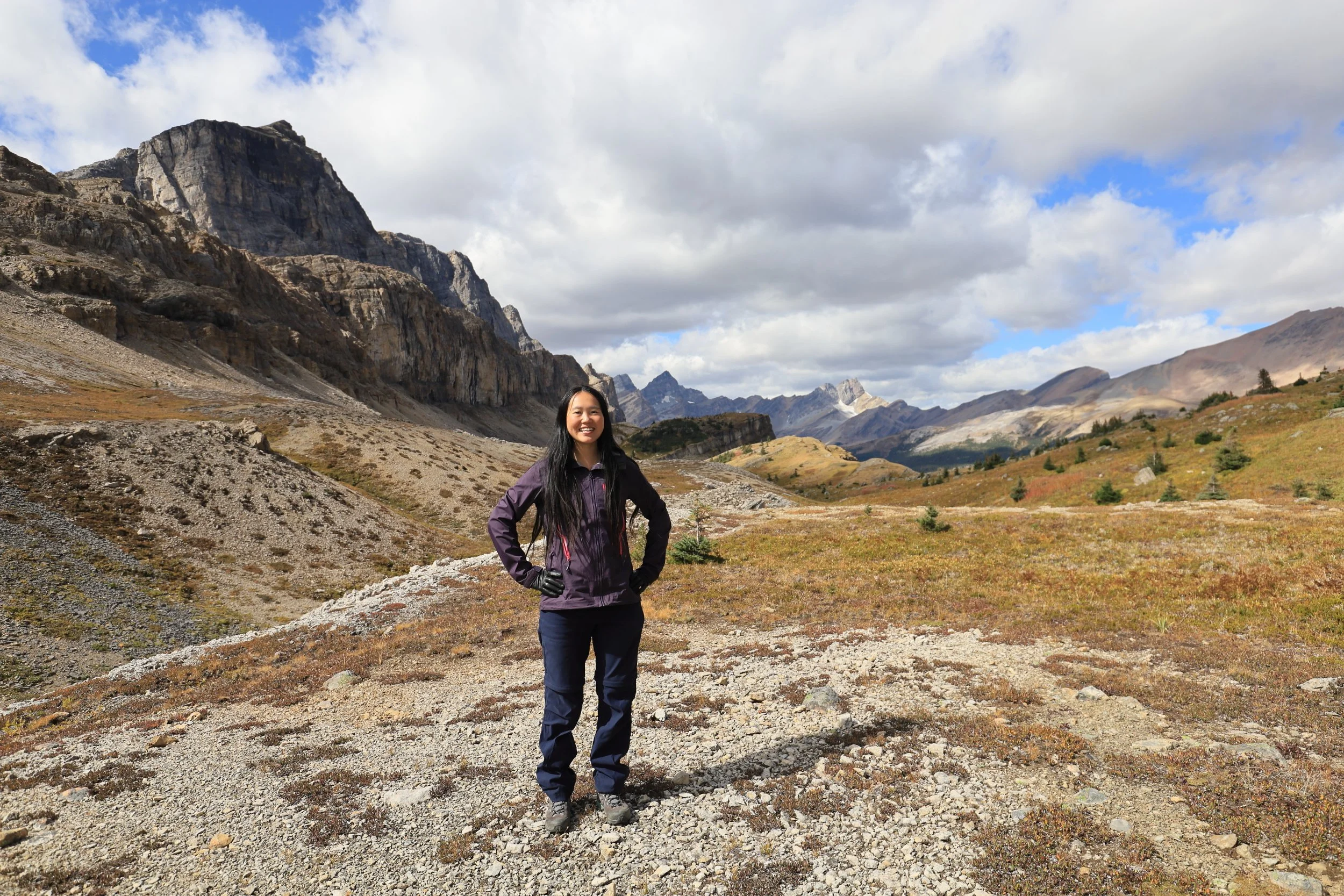
Shadows morphed between rock slopes dotted with trees and blended mountains against the sky into a ephemeral, ever-changing painting.
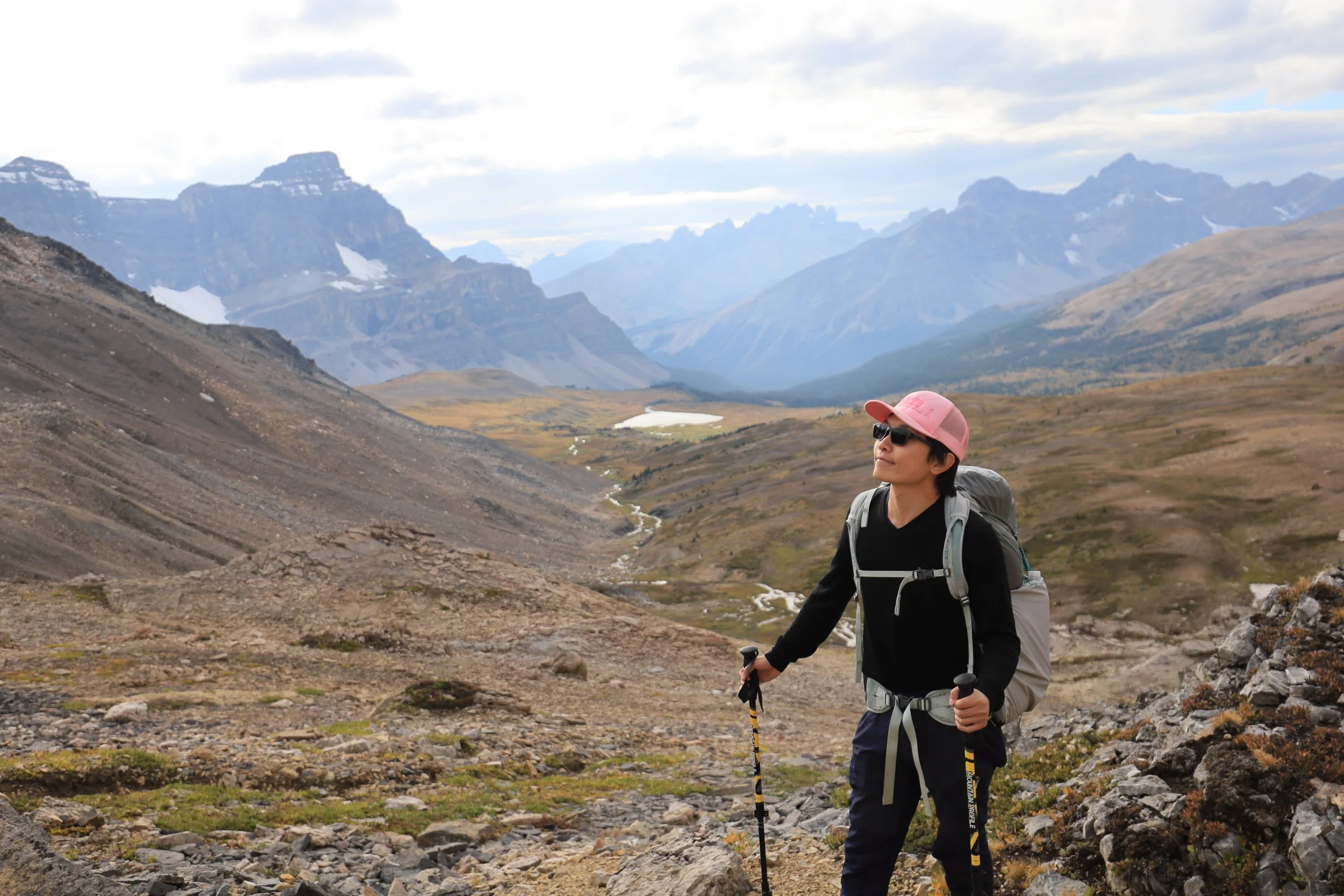
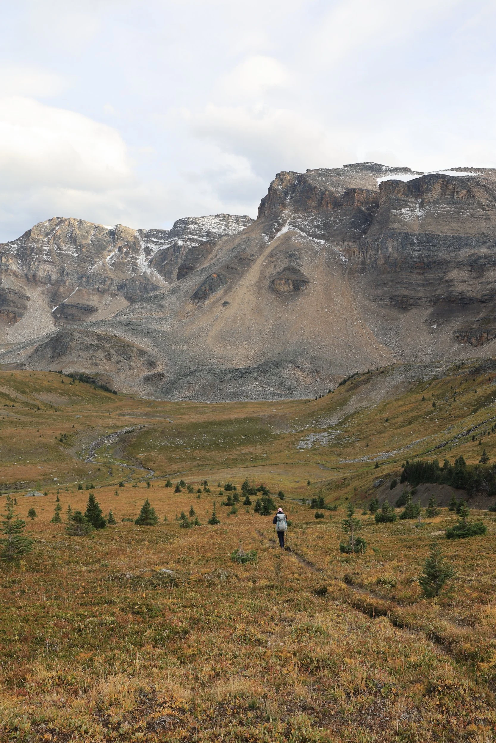
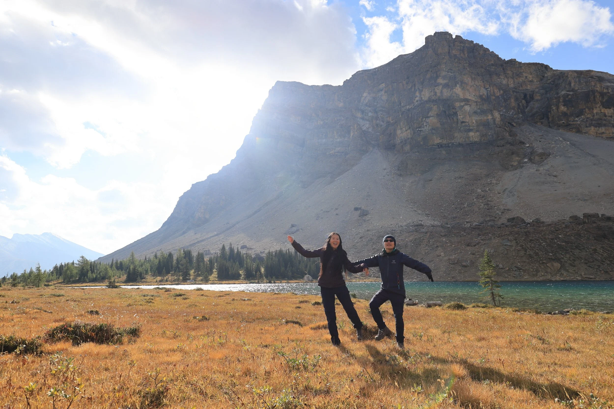
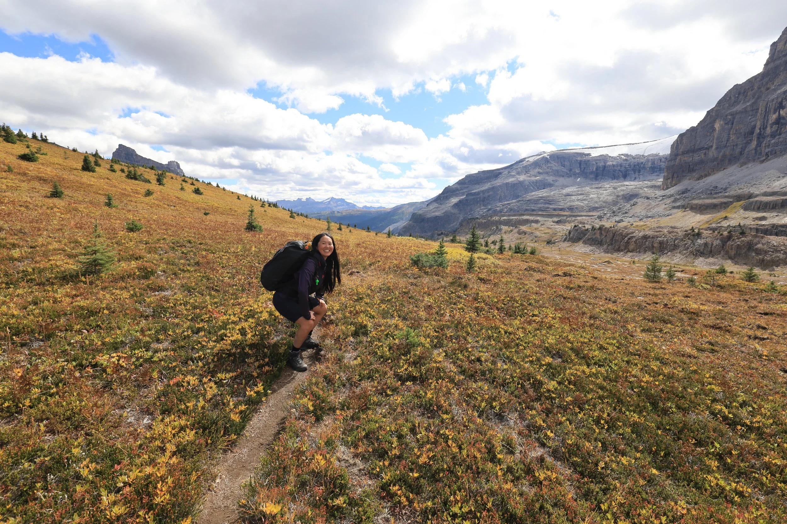
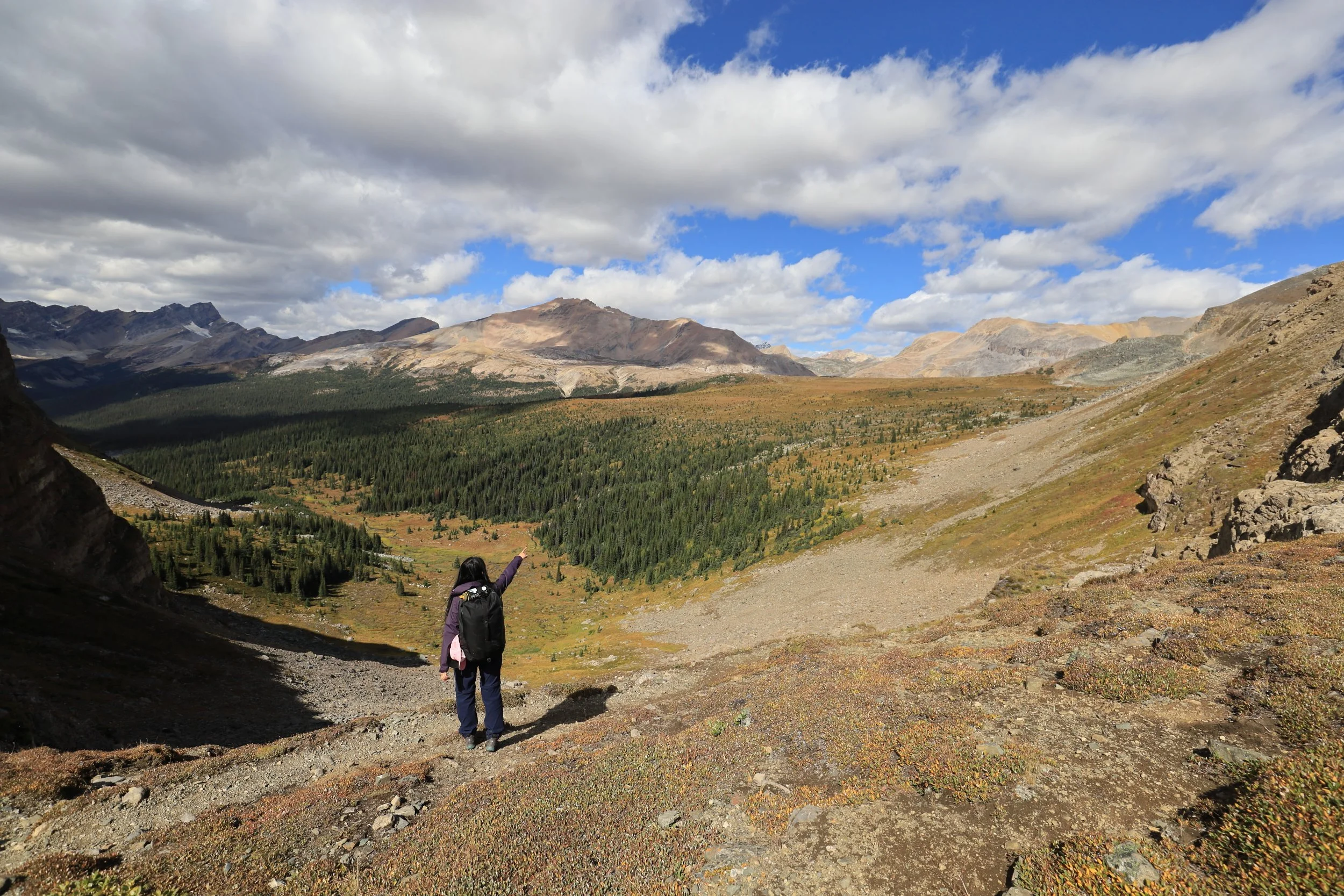
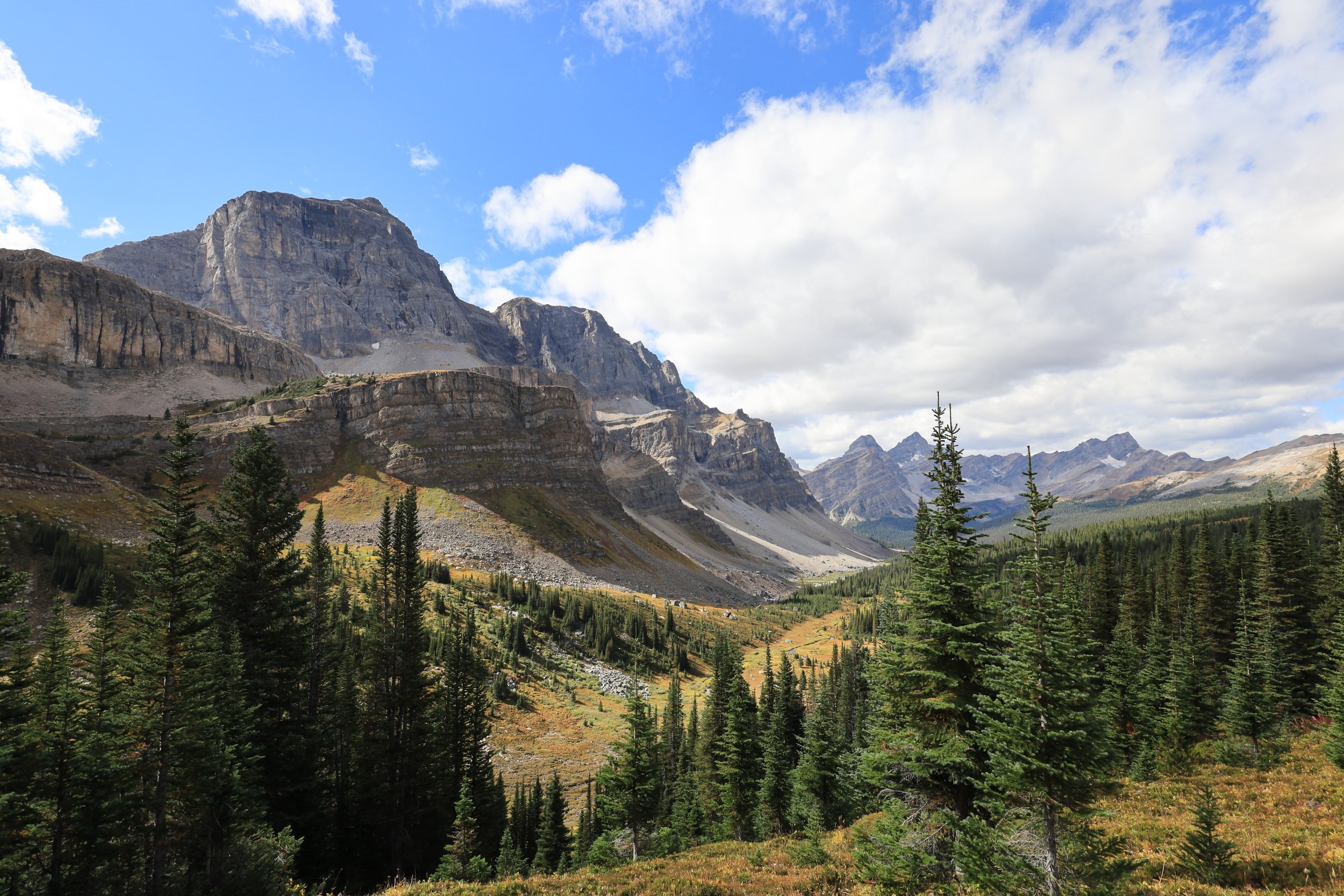
It was hard to justify taking another long break so soon. There weren’t any good spots to stop anyways so we could only try to hike as slow as possible to savor the moment.

This was truly one the most picture perfect views in the Rocky Mountains. The descent was too short, too easy, and done in a flash.
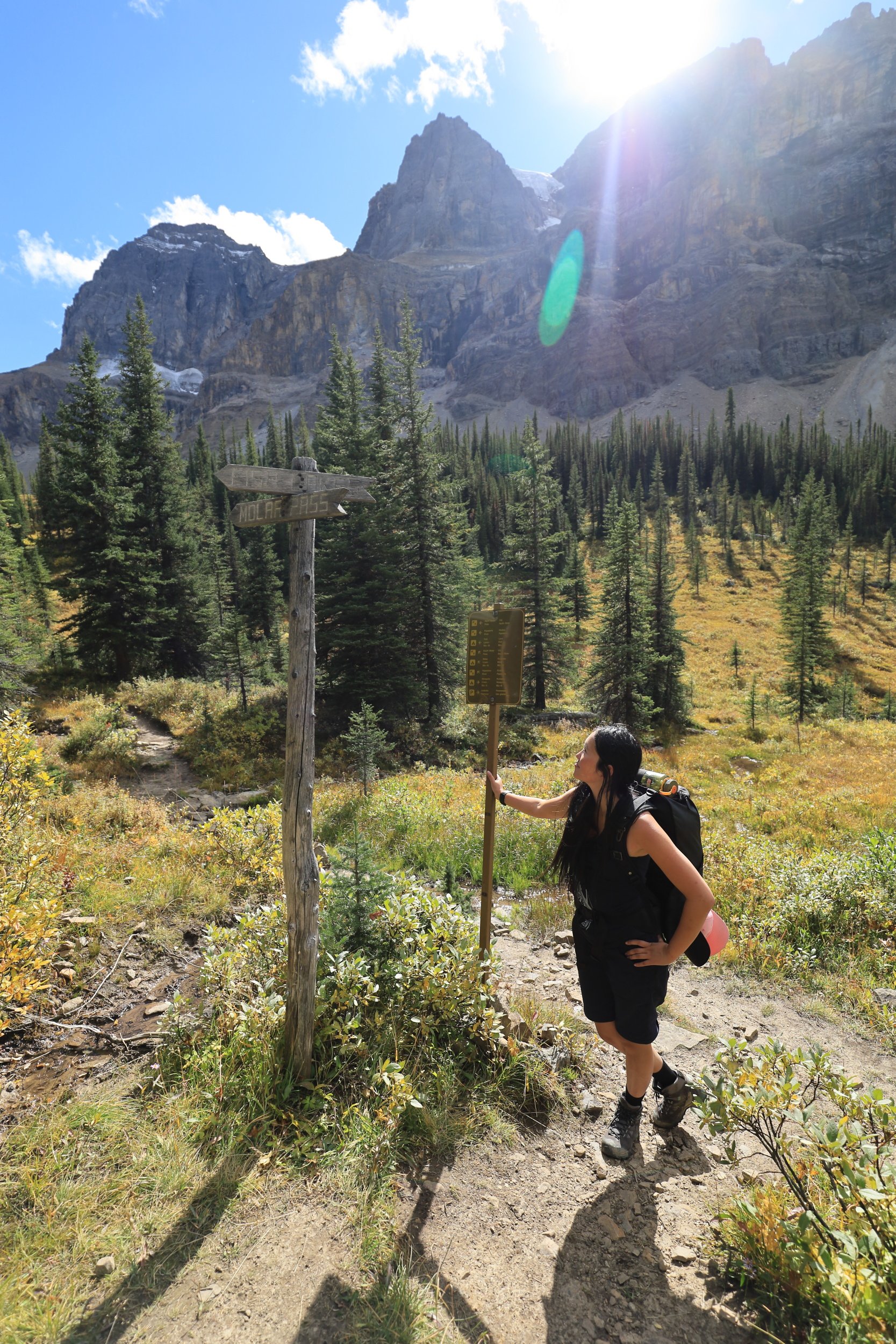
It was a grand finale to our adventure at Molar Pass Loop. We made it full circle back to the junction in higher spirits than ever before.
Next week we’d be in Jasper to tackle the Skyline and Tonquin Valley.